- Where
- Near Khaddum village, East Jaintia Hills district
- Altitude
- About 250 m
- Distance
- About 120–130 km from Shillong; 70 km from Jowai
- Timings
- Daylight; start the walk by 9am
- Entry fee
- About ₹50 reported; guide charged separately
- Permit
- Not needed for Indian citizens
- Best time
- November–March; avoid June–September
- Time needed
- Full day from Jowai
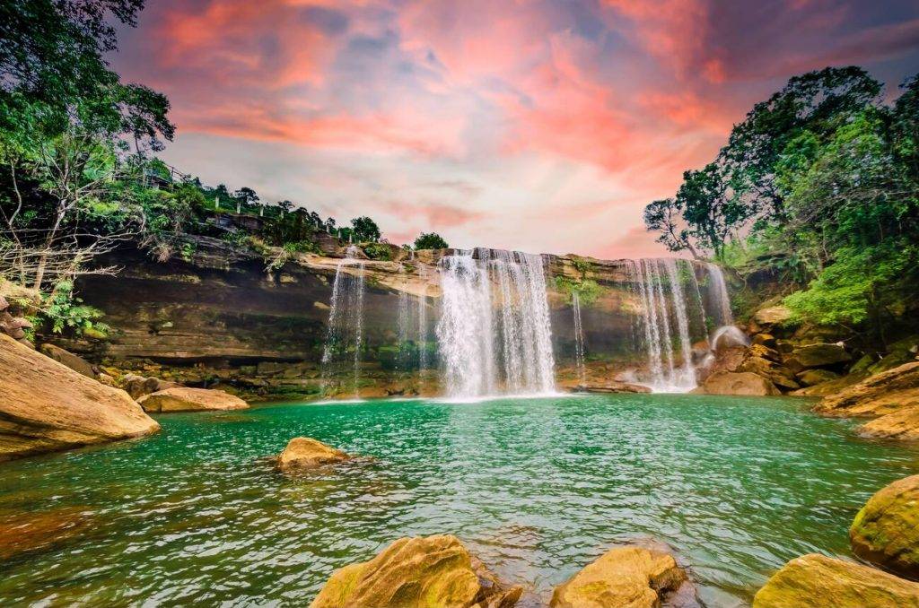
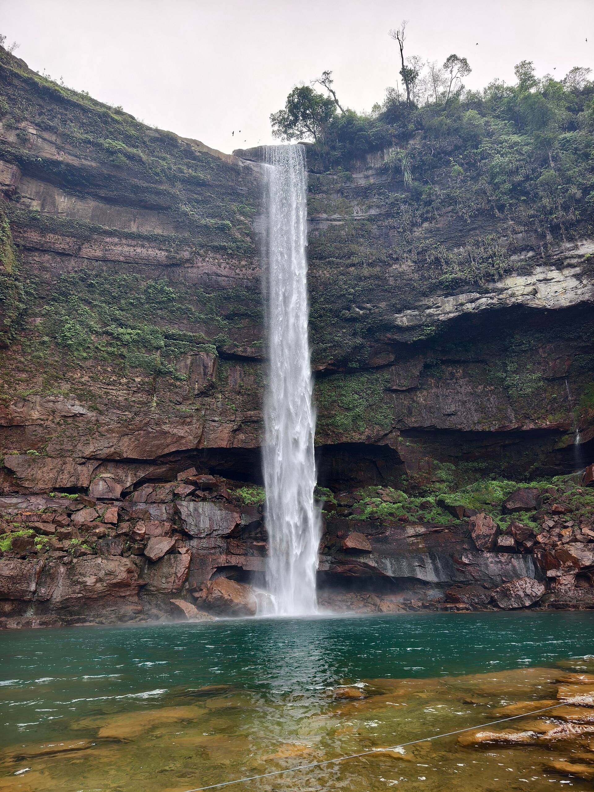
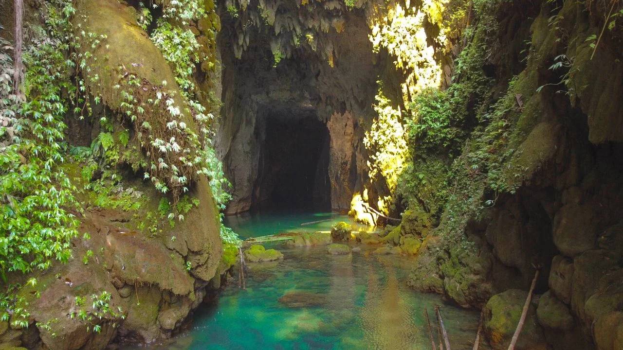
Krem means cave in Khasi and Jaintia. At Krem Chympe a river flows out of a limestone cave and drops as a waterfall into a deep blue-green pool, with the cave mouth arching over it. It's in the East Jaintia Hills, an area that has some of the longest cave systems in India, and it's become one of the most photographed "hidden" places in Meghalaya in the last few years.
What you'll see
- The Chympe waterfall spilling out of the cave mouth.
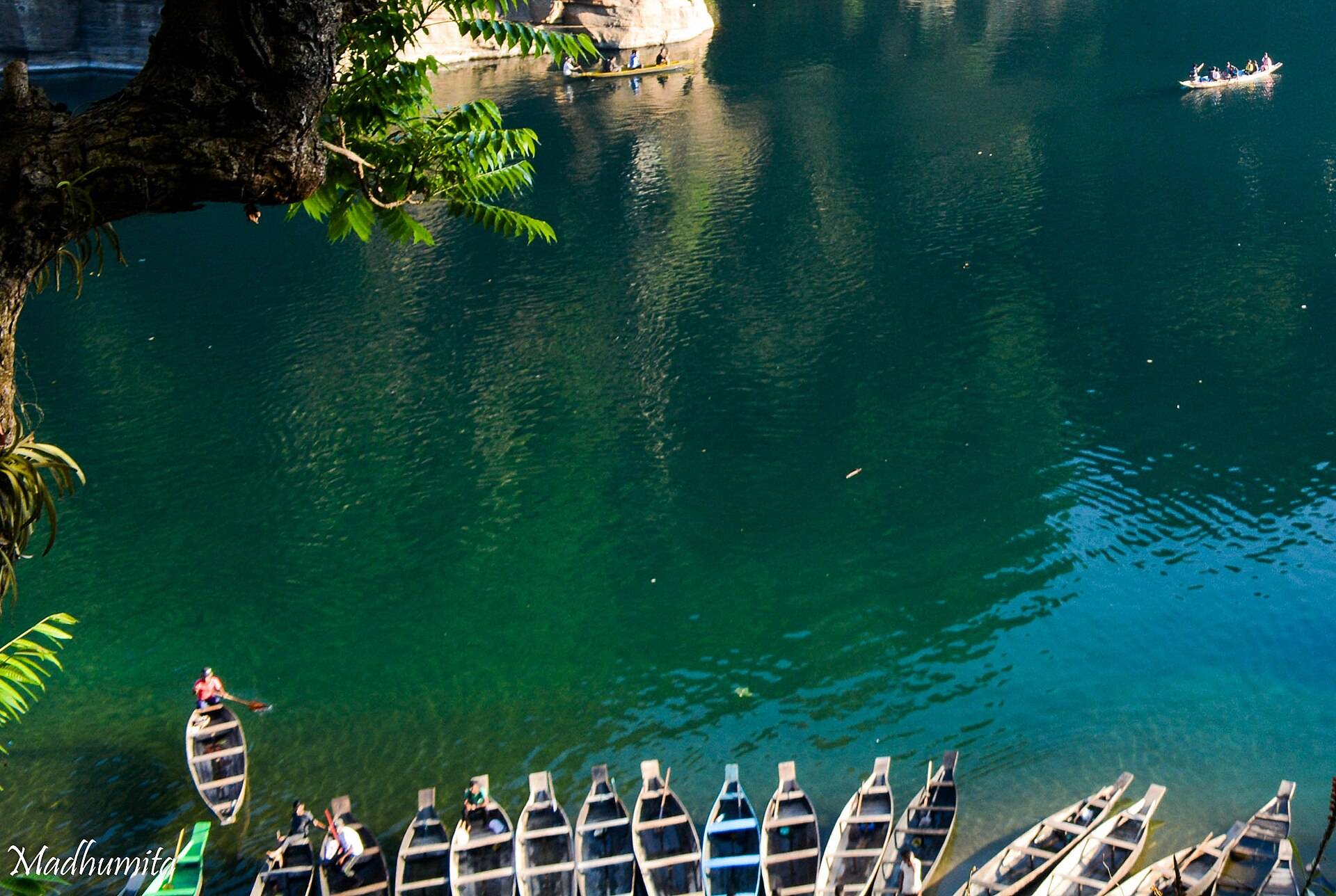
- The pool below, clear and turquoise in the dry season.
- The cave entrance: you can look in, but going further needs caving gear and an experienced guide.
- Khaddum waterfall nearby, often combined on the same day.
How to reach Krem Chympe
Drive from Shillong to Jowai and on towards Lumshnong, then turn off towards the villages near Khaddum. From the roadhead it's a trek downhill to the river, reported at 1.5 to 2.5 hours depending on the route and your pace, and longer coming back up. There are no signboards; hire a local guide at the village.
| From | Road distance | Usual drive time |
|---|---|---|
| Jowai | about 70 km | 2–2.5 hrs |
| Shillong | about 120 km | 3.5–4 hrs |
| Guwahati Airport | about 240 km | 6–7 hrs |
Road distances from OpenStreetMap routing. Drive times are what we see on these mountain roads, not map estimates.
Weather and when to go
The site is low and very wet in summer. Our ten-year data shows June as the wettest month by far.
| Month | Avg high | Avg low | Rain |
|---|---|---|---|
| Jan | 23°C | 13°C | Dry |
| Feb | 25°C | 15°C | Dry |
| Mar | 28°C | 18°C | Light |
| Apr | 29°C | 21°C | Wet |
| May | 29°C | 22°C | Wet |
| Jun | 29°C | 24°C | Very wet |
| Jul | 30°C | 24°C | Very wet |
| Aug | 30°C | 24°C | Very wet |
| Sep | 30°C | 24°C | Wet |
| Oct | 29°C | 22°C | Light |
| Nov | 27°C | 18°C | Dry |
| Dec | 24°C | 14°C | Dry |
Monthly averages for 2015–2024 from ERA5 reanalysis via Open-Meteo, at the site's elevation (about 240 m). Rain and snow are rated relative to this location's own year.
- November–March: the only sensible months. The water is clear and the trail dry.
- June–September: guides refuse trips because of flash floods. Don't go.
Where to stay
Stay at Jowai the night before, or in a homestay near Lumshnong. There's nothing at the falls.
What to carry
Trekking shoes with grip, a change of clothes, a dry bag, water, packed lunch and cash for the guide and entry.
Things most guides don't tell you
- The walk back up is the hard part. Leave enough daylight.
- Rain anywhere upstream can raise the river within an hour. If your guide says turn back, turn back.
- The pool is deep and cold. Swim only where your guide says it's safe.
We also have a longer Krem Chympe cave guide with more photos.
Nearby
- Phe Phe Falls near Jowai.
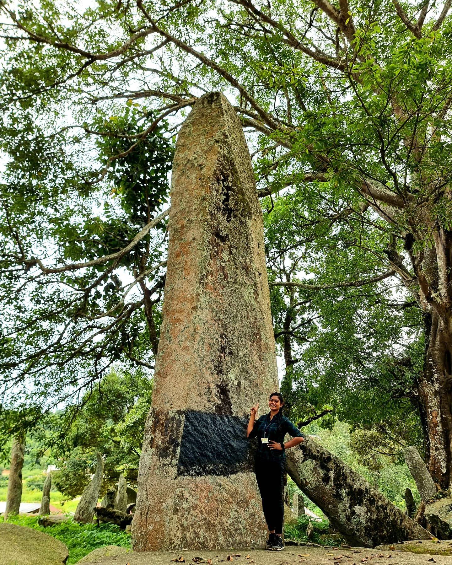
- Nartiang Monoliths, on the way back to Shillong.
- Krang Suri Falls, near Jowai.
Krem Chympe: questions travellers ask
Where is Krem Chympe?
Near Khaddum village in the East Jaintia Hills district of Meghalaya, about 70 km beyond Jowai.
How far is Krem Chympe from Shillong?
About 120–130 km, 3.5–4 hours by road, plus the trek.
Is there an entry fee for Krem Chympe?
A small fee of about ₹50 is reported, with the local guide paid separately.
Do I need a guide for Krem Chympe?
Yes. There are no signboards and the trail and river conditions change.
How long is the trek to Krem Chympe?
Reported at 1.5–2.5 hours downhill from the roadhead, longer on the way back.
When should I avoid Krem Chympe?
June to September, because of flash floods.
Can I go inside Krem Chympe cave?
Only a short way without caving equipment and an experienced caving guide.
Sources
- WanderOn: Krem Chympe cave
- Homegrown: Krem Chympe underground river cave
- The Outdoor Backpacker: Krem Chympe guide
- OpenStreetMap: Chympe falls ticket point
Timings and fees change. Check on the day, or ask us when you book.