
Northeast India attractions
The lakes, passes, waterfalls and monasteries worth the drive, with what you need on the day: timings, fees, permits and how to reach.
Arunachal Pradesh
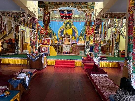
Bomdila Monastery
Bomdila, West Kameng
Bomdila Monastery, Gontse Gaden Rabgye Ling, was founded in 1965 as a replica of the Tsona Gontse monastery in Tibet. It's the natural first stop on the road to Tawang, with views over the Kameng hills.
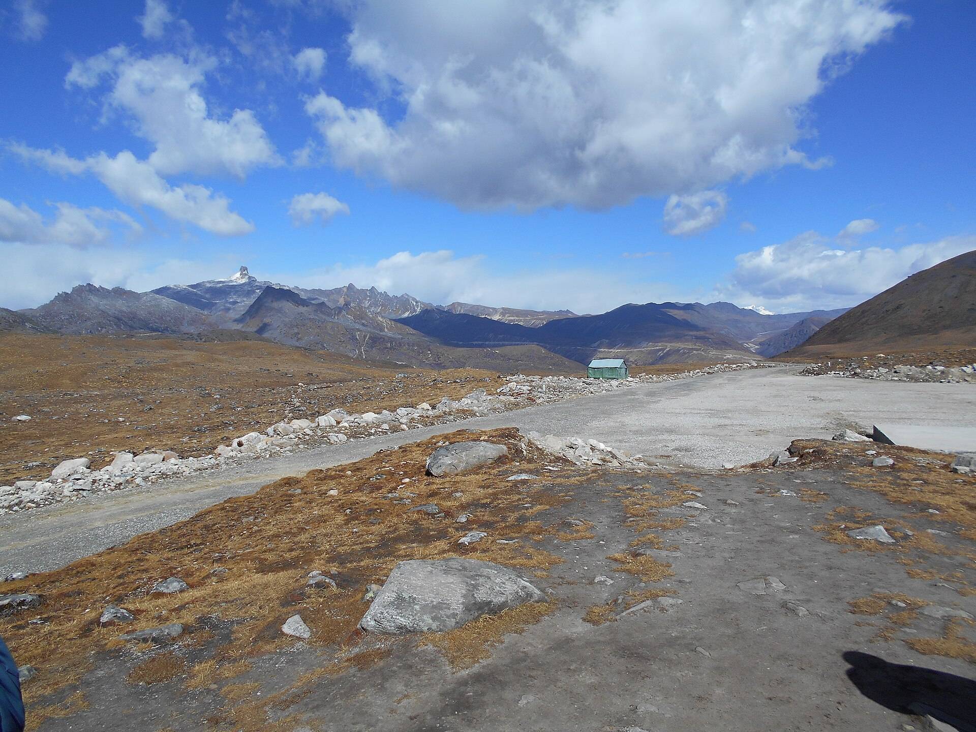
Bum La Pass
Indo-China border, 37 km from Tawang
Bum La is the India–China border pass 37 km above Tawang, at about 15,200 ft, where the 1962 war began in this sector and where border meetings are still held. Visiting needs a special permit from the DC's office and the army.
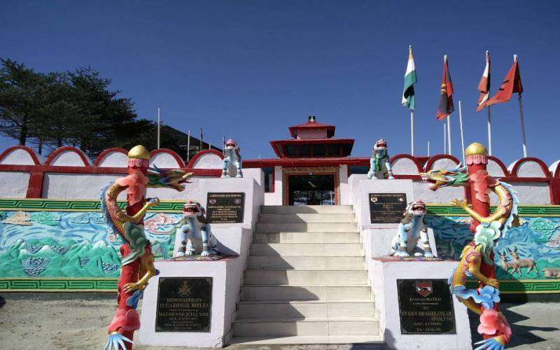
Jaswant Garh War Memorial
On the Sela–Jang road, Tawang district
Jaswant Garh honours Rifleman Jaswant Singh Rawat, who held off the Chinese advance near Nuranang in November 1962. The army still keeps his room, and serves free tea to travellers on the Tawang road.
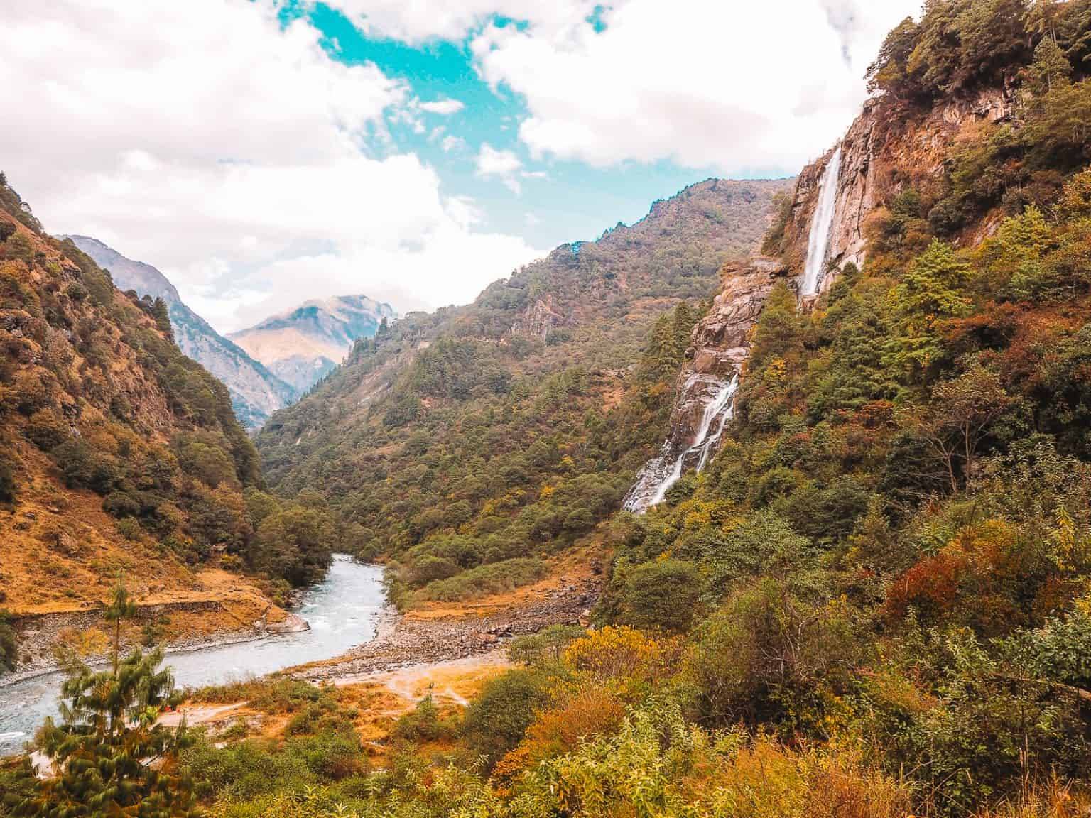
Nuranang (Jang) Falls
Near Jang, about 40 km from Tawang
Nuranang, or Jang Falls, is a 100-metre waterfall near Jang on the road down from Sela Pass to Tawang. It's a short detour and free to visit.
Sangetsar (Madhuri) Lake
On the Bumla road, about 35 km from Tawang
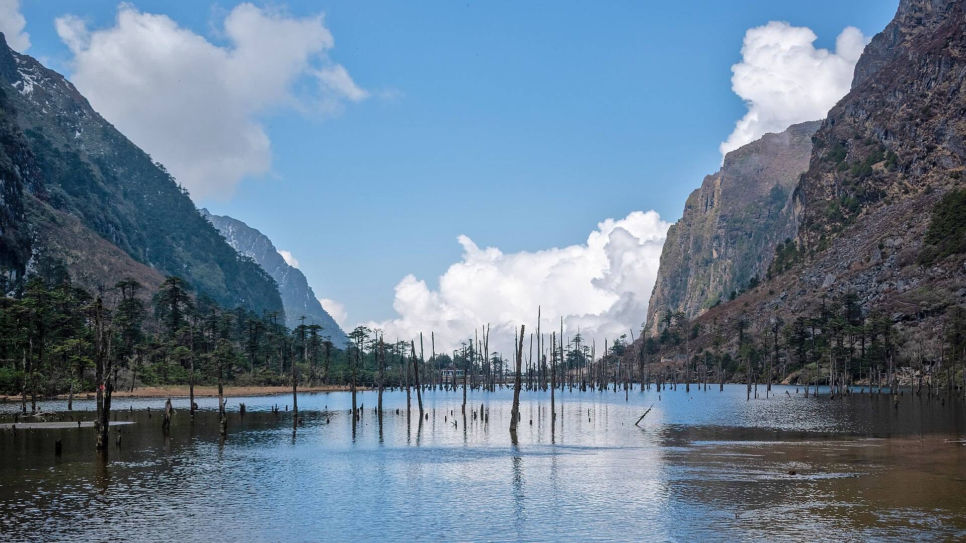
Sangetsar, nicknamed Madhuri Lake after a 1990s film shoot, is a high lake on the road to Bumla with dead tree trunks standing in the water. It's visited on the Bumla day from Tawang.
Sela Pass
Tawang–West Kameng border, on NH-13
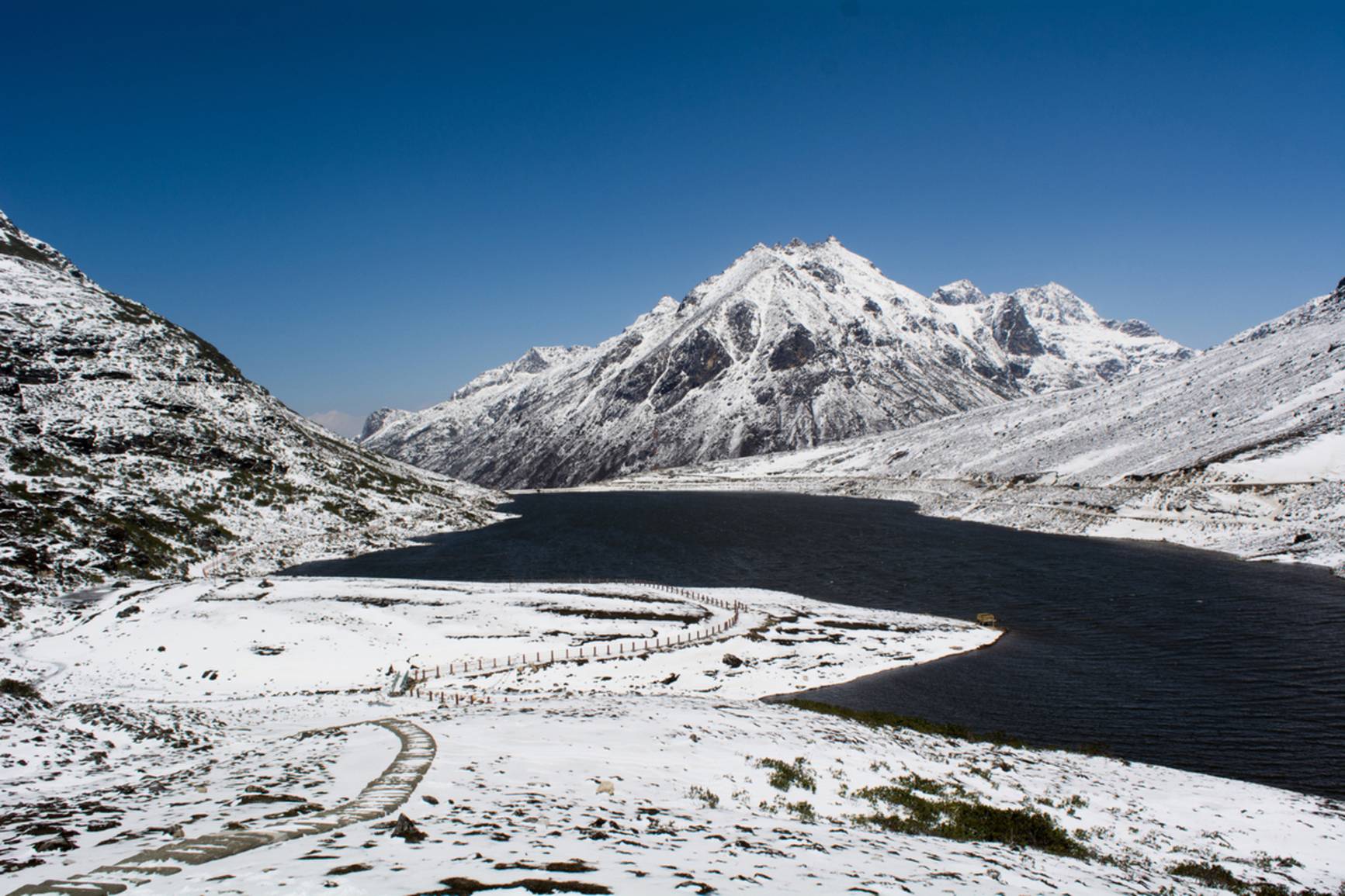
Sela Pass crosses the range between Dirang and Tawang at about 13,700 ft, beside a sacred lake that freezes in winter. Since the Sela Tunnel opened in 2024 you can skip it, but most travellers still drive over. Here's why and when.

Tawang Monastery
Tawang town
Tawang Monastery, Galden Namgey Lhatse, is India's largest monastery, founded in 1680–81 on a ridge at about 10,000 ft. It's the reason most people make the drive over Sela Pass.
Tawang War Memorial
Tawang town
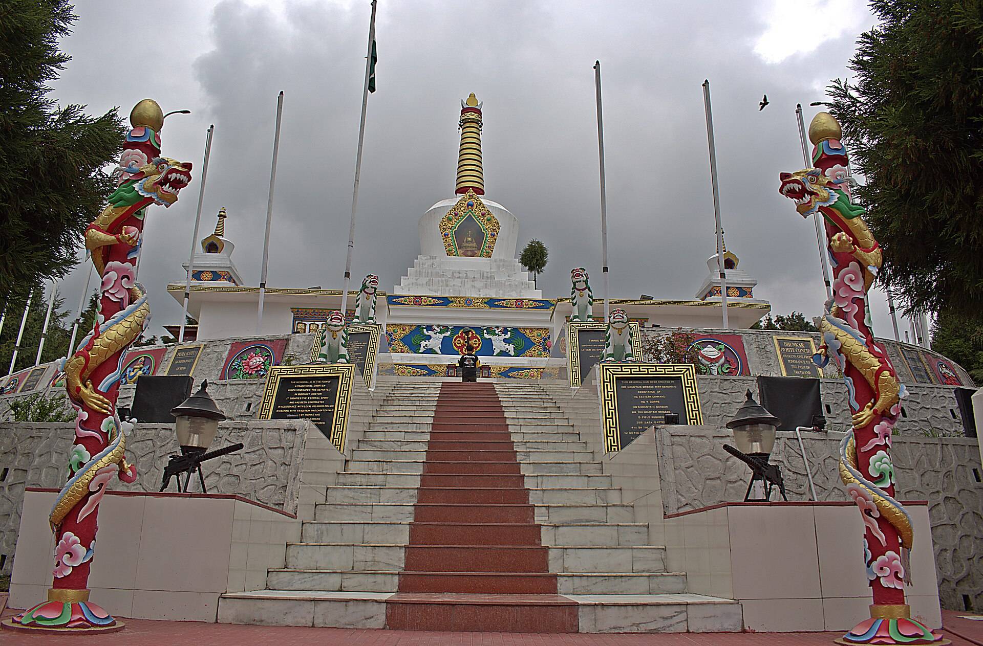
Tawang War Memorial is a stupa-shaped memorial in town to the soldiers who died defending this sector in 1962, with their names in gold and an evening light and sound show.
Ziro Valley
Lower Subansiri district
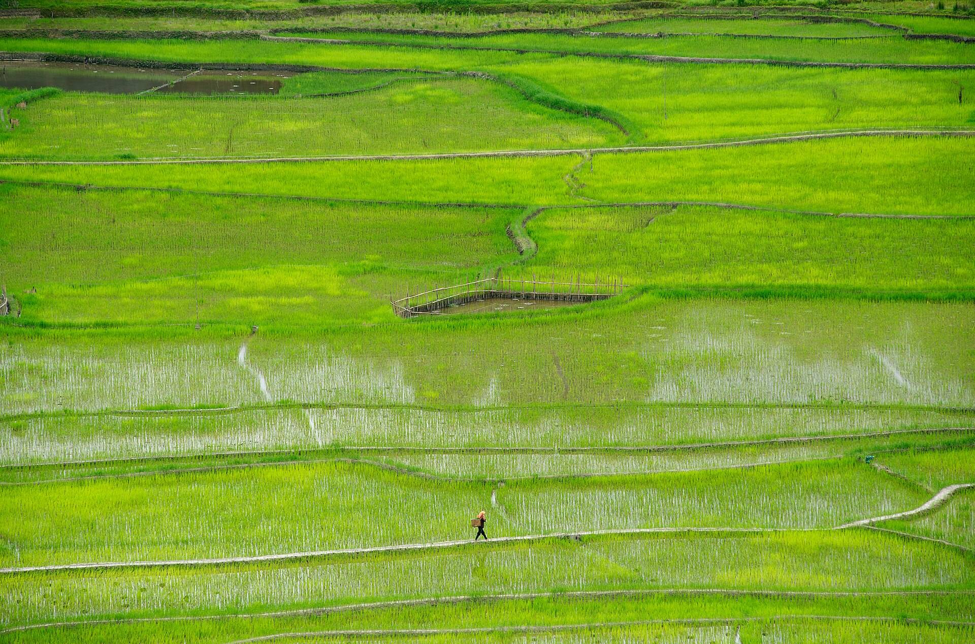
Ziro is a high, flat valley of rice fields and pine hills, home to the Apatani people and on UNESCO's tentative World Heritage list. Here is how to get there, what to see, the festivals and when to go.
Darjeeling

Batasia Loop
Near Ghum, 5 km from Darjeeling
Batasia Loop is where the Darjeeling toy train spirals around a war memorial garden, with Kanchenjunga behind on clear days. It's 5 km from Darjeeling, near Ghum.
Tiger Hill
About 11 km from Darjeeling
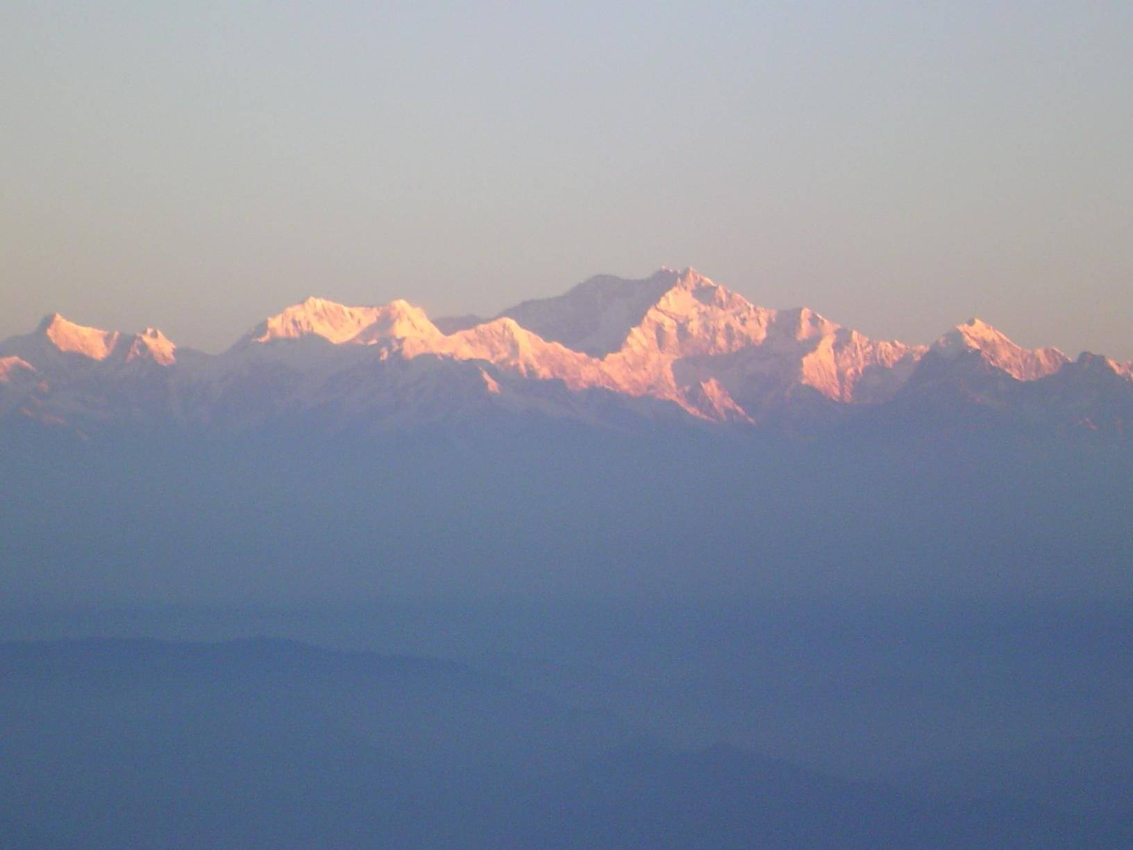
Tiger Hill, 11 km from Darjeeling, is where the famous sunrise happens: first light turns Kanchenjunga pink before the rest of the range. Cars leave town around 4am.
Meghalaya

Dawki and the Umngot River
Dawki, West Jaintia Hills, on the Bangladesh border
The Umngot river at Dawki is famous for water so clear that boats seem to float in air. Here is when it is actually clear, what boating costs, Dawki vs Shnongpdeng, and what happened to the river in 2025.
Double-Decker Living Root Bridge
Nongriat village, below Tyrna
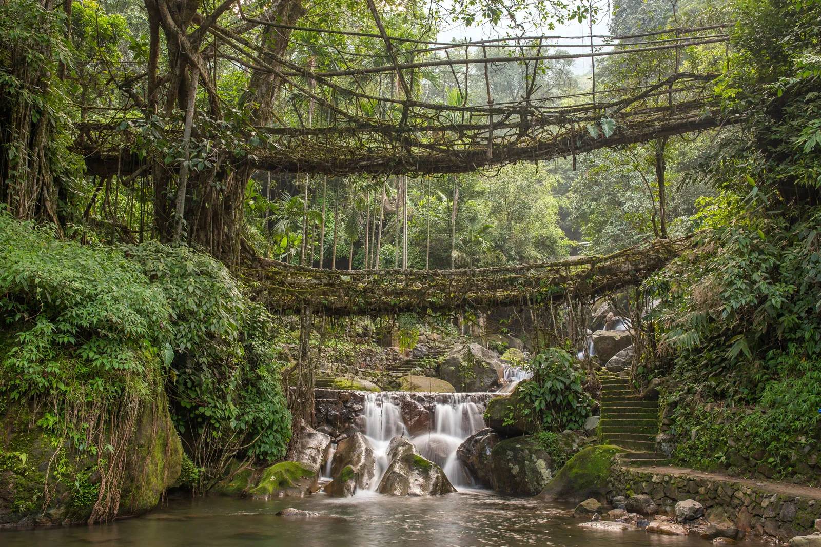
The double-decker root bridge at Nongriat is two bridges of living rubber-tree roots, one above the other, reached by a steep trek of about 3,000 steps from Tyrna.
Elephant Falls
Upper Shillong, 12 km from the city
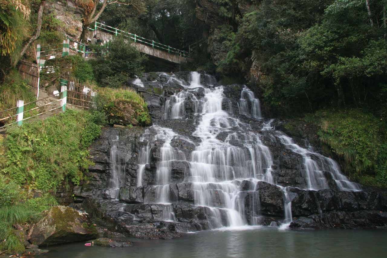
Elephant Falls is a three-tier waterfall in the forest 12 km from Shillong, reached by a short flight of steps. It's on almost every Shillong sightseeing day.
Krang Suri Falls
Amlarem, West Jaintia Hills
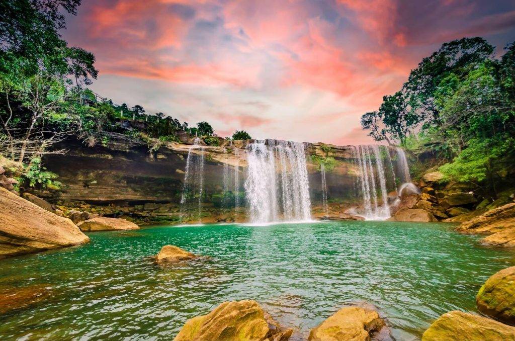
Krang Suri is a turquoise waterfall in the Jaintia Hills where you can swim (with a life jacket) and walk behind the falls. Here is the fee, the life-jacket rule, the drive from Jowai or Dawki and when the water is blue.
Laitlum Canyons
East Khasi Hills, about 25 km from Shillong
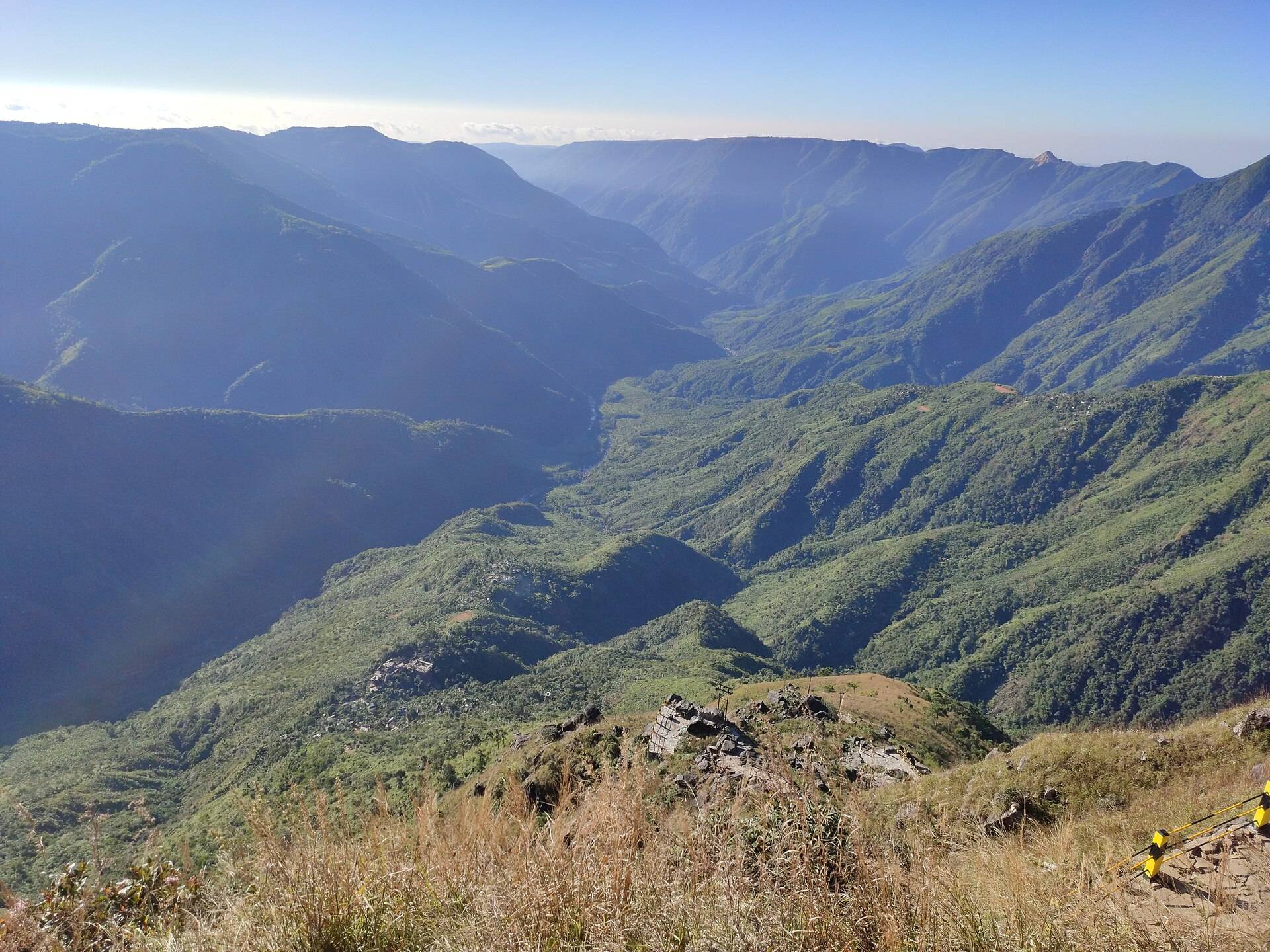
Laitlum, 'the end of the hills', is a clifftop above deep green gorges about 25 km from Shillong. It's best at sunrise or sunset, and a steep stairway leads down to Rasong village.

Mawlynnong Village
Pynursla block, East Khasi Hills
Mawlynnong, called Asia's cleanest village since 2003, is a Khasi village of bamboo bins, flower-lined paths and a living root bridge near the Bangladesh border. Since January 2026 it is closed to day visitors on Sundays.
Mawphlang Sacred Forest
Mawphlang, East Khasi Hills
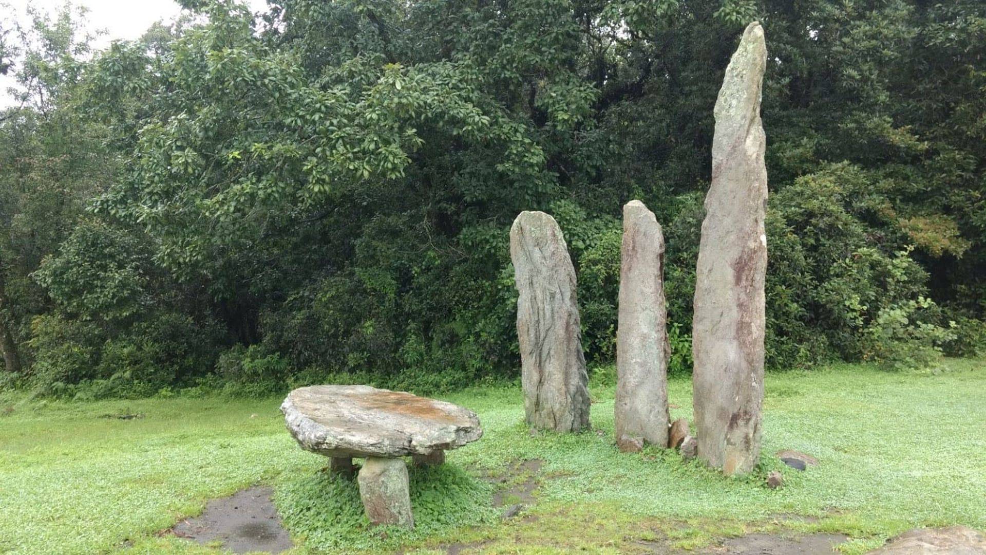
Mawphlang's sacred grove is a patch of old Khasi forest protected for centuries by belief: nothing, not even a fallen leaf, may be taken out. Visits are on a guided walk with a local guide.
Mawsmai Cave
Mawsmai, about 6 km from Sohra
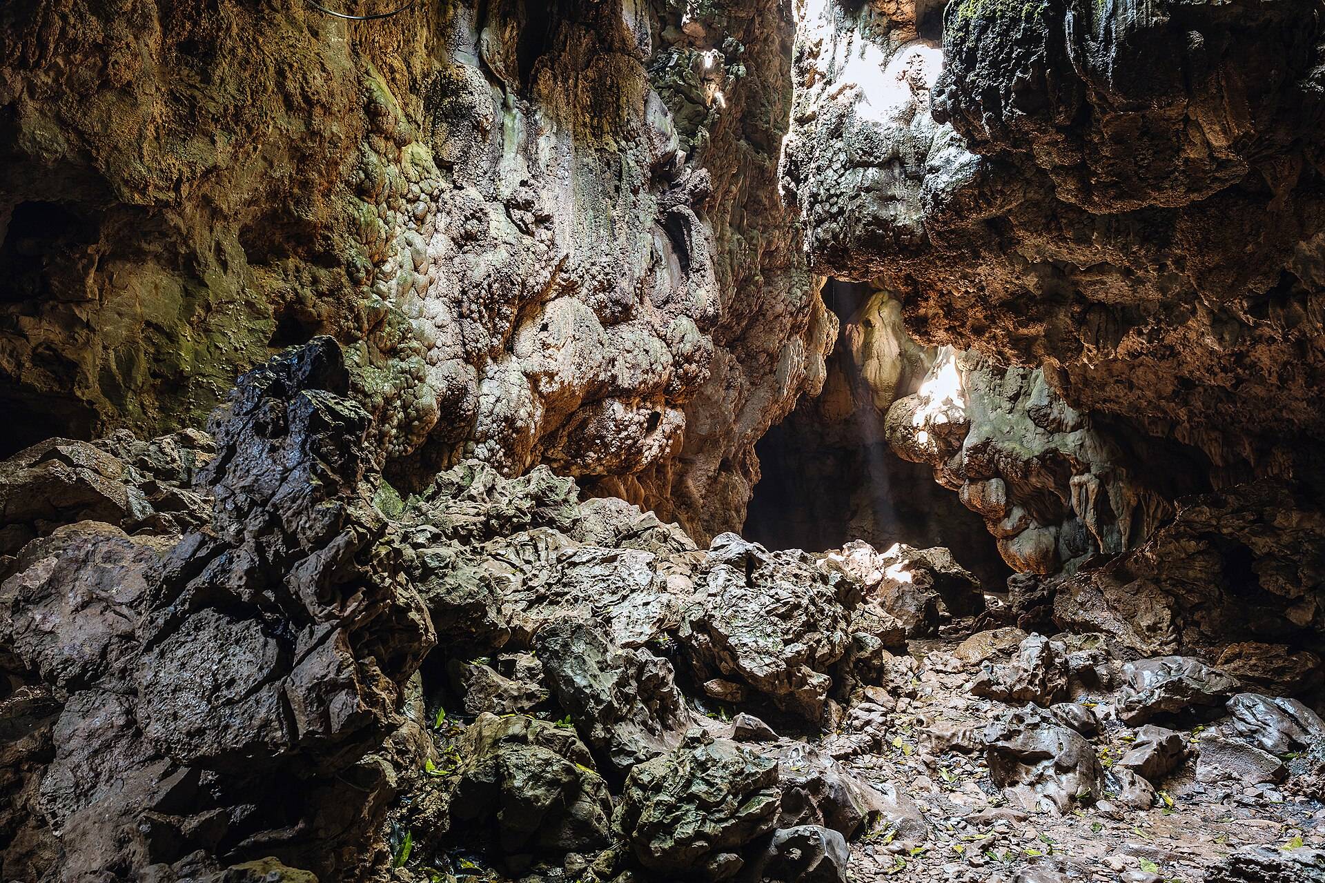
Mawsmai is a short, lit limestone cave near Cherrapunji: about 150 metres of stalactites, squeezes and low ceilings that anyone reasonably fit can walk through in half an hour.
Nohkalikai Falls
Cherrapunji (Sohra), East Khasi Hills
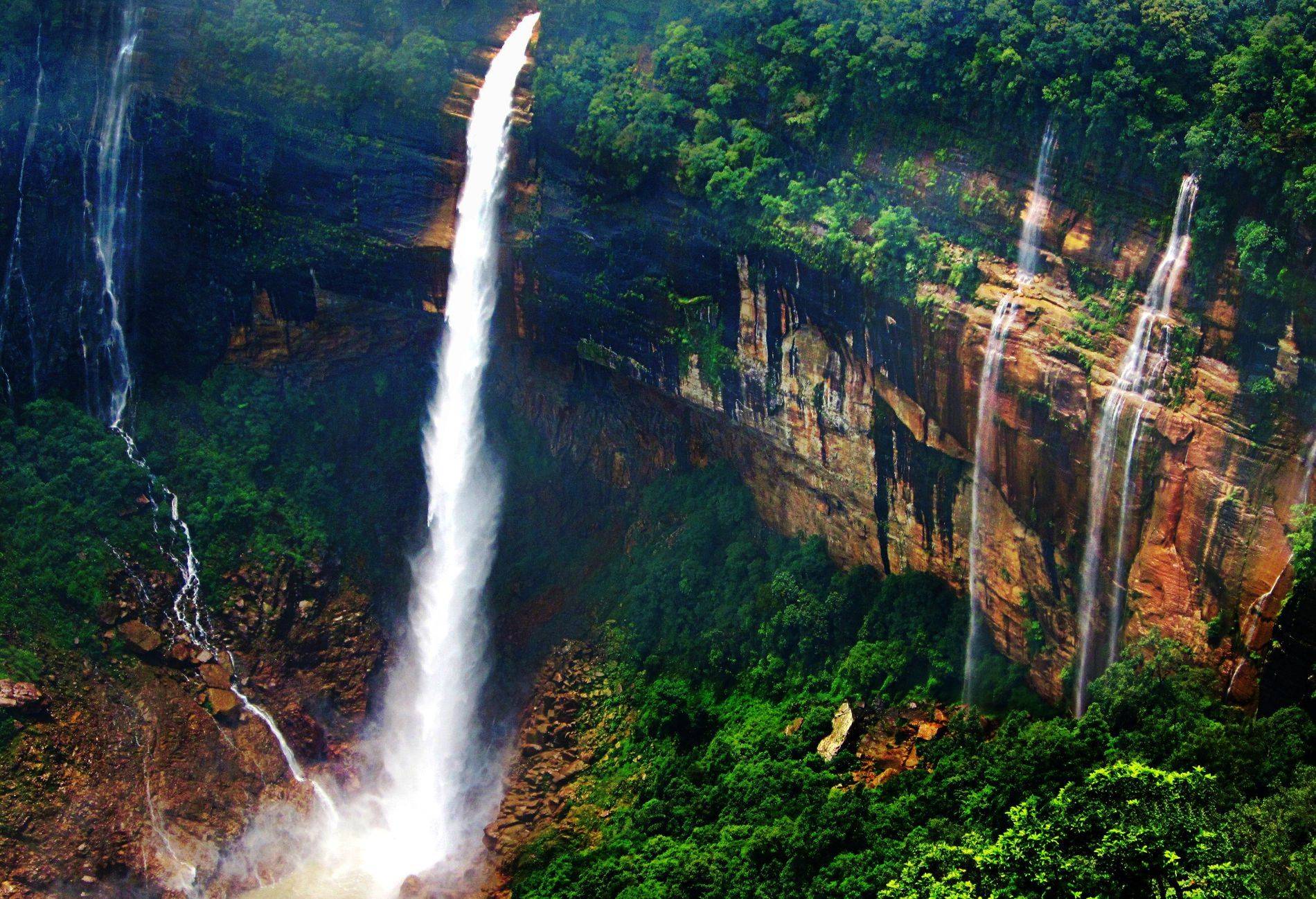
Nohkalikai is India's tallest plunge waterfall, dropping about 340 m into a green pool near Cherrapunji. It's at its fullest from June to September.

Seven Sisters Falls (Nohsngithiang)
Mawsmai, about 5 km from Sohra
Nohsngithiang, the Seven Sisters Falls, drops 315 metres off the limestone cliffs south of Cherrapunji in up to seven streams. Here's when all seven actually flow, the sunset view and how to see it with Mawsmai Cave.
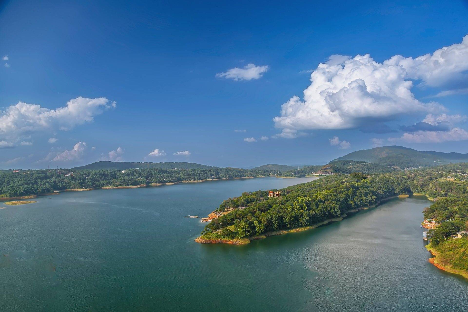
Umiam Lake (Barapani)
Ri-Bhoi, 15 km before Shillong
Umiam Lake, or Barapani, is a large reservoir among pine hills on the Guwahati–Shillong road, 15 km before Shillong, with boating and water sports.
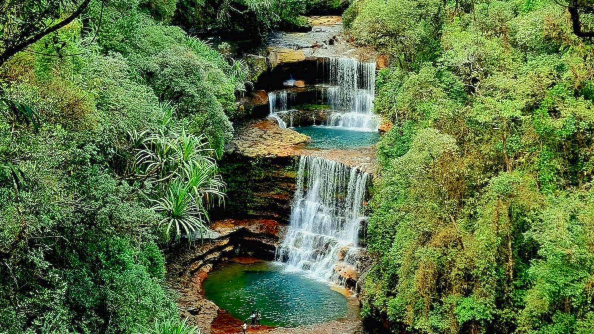
Wei Sawdong Falls
Near Dainthlen, about 12 km from Sohra
Wei Sawdong is a three-tiered waterfall near Cherrapunji with square blue pools, reached by a steep 15–20 minute walk down bamboo and stone steps. Here is the fee, the trail and when to go.
Nagaland

Kisama Heritage Village
About 12 km from Kohima
Kisama, the Naga Heritage Village 12 km from Kohima, has a traditional house, or morung, for each Naga tribe, and hosts the Hornbill Festival every December.

Kohima War Cemetery
Central Kohima
Kohima War Cemetery marks the 1944 Battle of Kohima, one of the turning points of the Second World War in Asia, fought partly across the district commissioner's tennis court.
Sikkim

Baba Harbhajan Singh Mandir
East Sikkim, on the Nathu La road
The shrine to 'Baba' Harbhajan Singh, a Punjab Regiment soldier who died near Nathu La in 1968, sits at about 13,100 ft on the Tsomgo–Nathu La road. Here is the story, the permit and how to fit it into a Gangtok day trip.

Banjhakri Falls and Energy Park
Burtuk, about 7 km from Gangtok
Banjhakri Falls is a 30-metre waterfall in a landscaped park on the edge of Gangtok, themed on Sikkim's forest shamans. It is an easy, family-friendly stop on a Gangtok city tour.
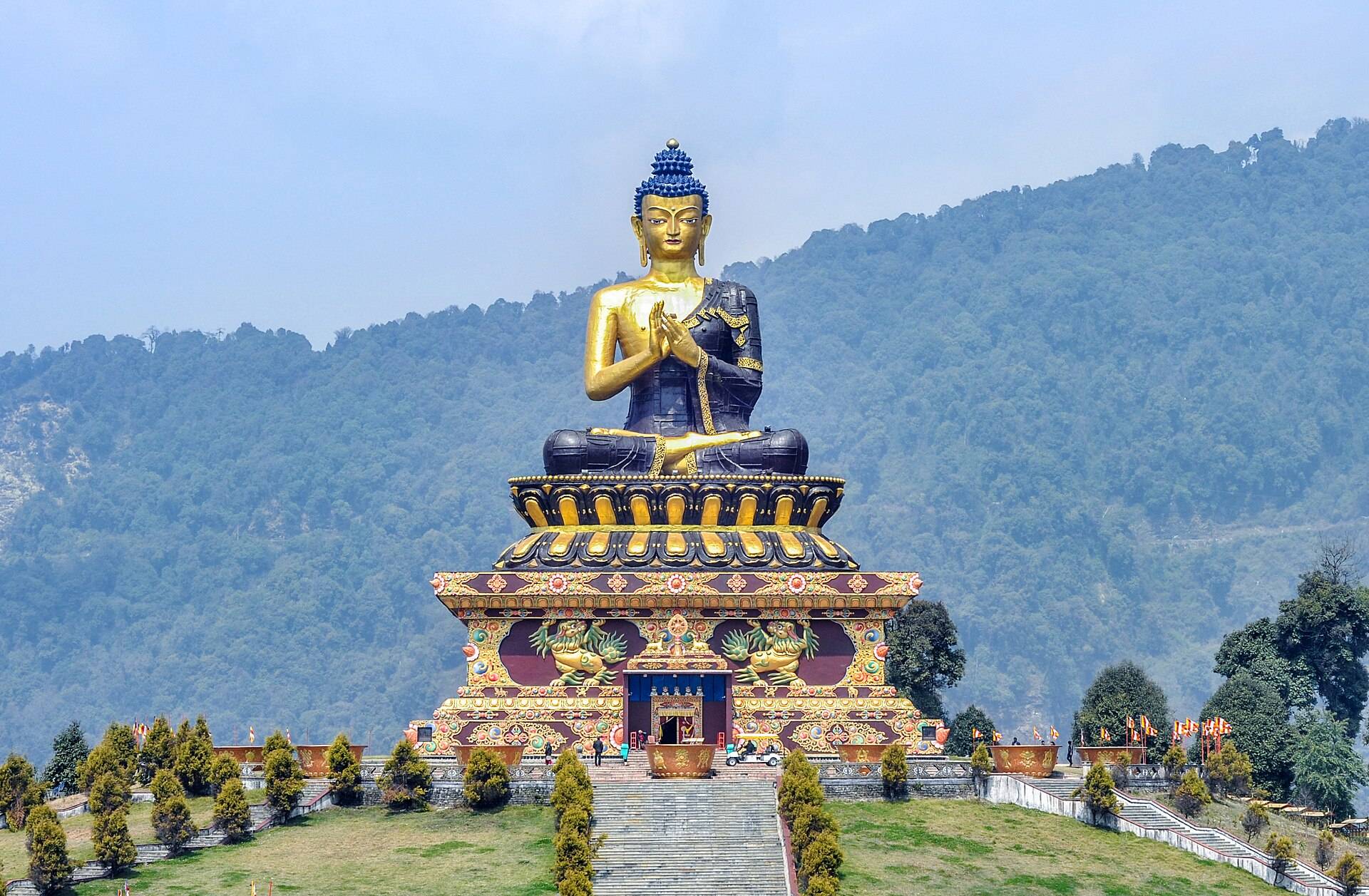
Buddha Park, Ravangla
Ravangla, Namchi district
Tathagata Tsal, the Buddha Park at Ravangla, centres on a 130-foot Buddha consecrated by the Dalai Lama in 2013, with Kanchenjunga behind it on clear days.

Gurudongmar Lake
North Sikkim, above Lachen
Gurudongmar is one of the world's highest lakes, at about 17,800 ft in North Sikkim, sacred to Buddhists and Sikhs. It's reached at dawn from Lachen, by Indian nationals only.
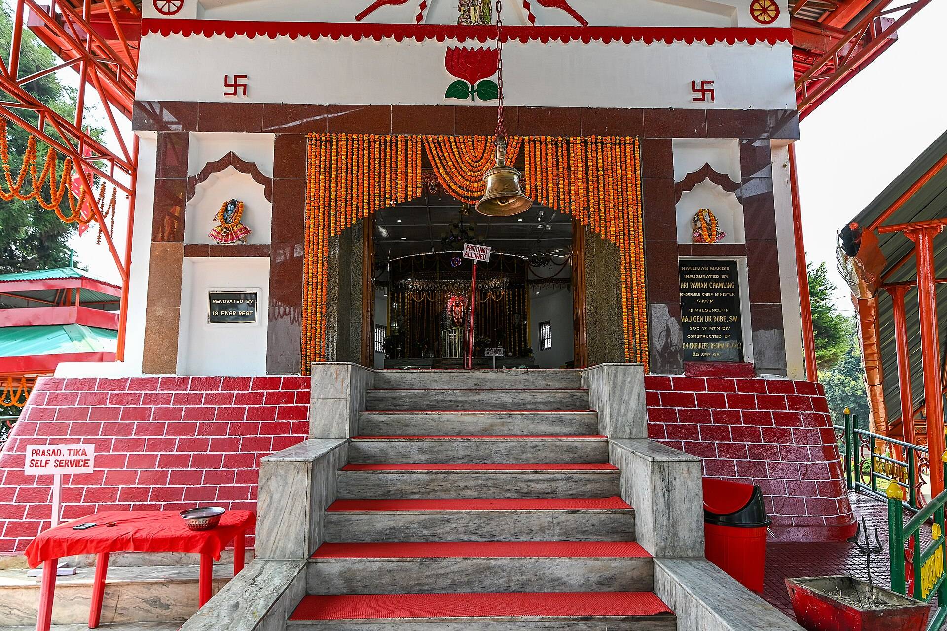
Hanuman Tok
Upper Gangtok, off the Nathu La road
Hanuman Tok is an army-run Hanuman temple on a hilltop above Gangtok, with one of the best Kanchenjunga views near the city. Here are the timings, the legend and how to fit it into a Gangtok sightseeing day.

Khecheopalri Lake
West Sikkim, about 25 km from Pelling
Khecheopalri is a still forest lake near Pelling, sacred to Buddhists and Hindus and known as the wishing lake. A short walk from the road leads to the prayer-flag jetty.
MG Marg, Gangtok
Central Gangtok
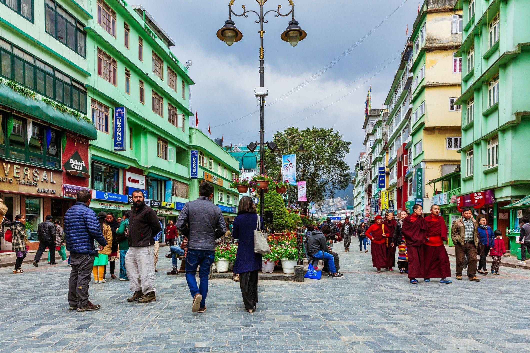
MG Marg is Gangtok's car-free main street, a litter- and spit-free promenade lined with cafés, shops and benches. Here is what to do there, the rules, and where to eat and shop.
Nathu La Pass
East Sikkim, 56 km from Gangtok
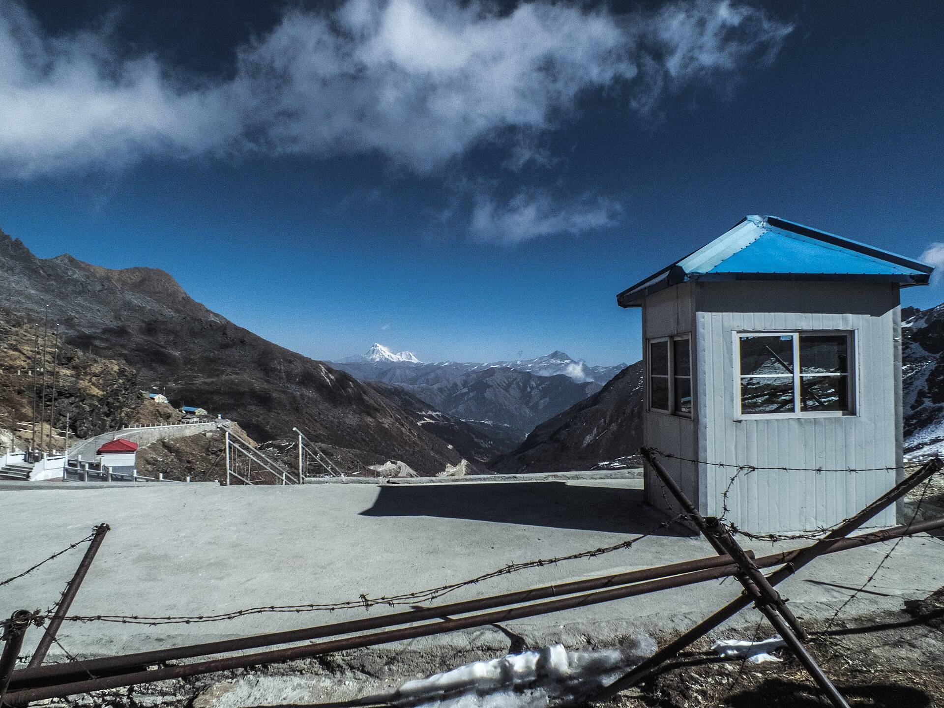
Nathu La is the India–China border pass at about 14,140 ft, a day trip from Gangtok with Tsomgo Lake and Baba Mandir. It's open to Indian nationals only, on a permit filed the day before.
Pelling Skywalk and Chenrezig Statue
Sangachoeling ridge, above Pelling
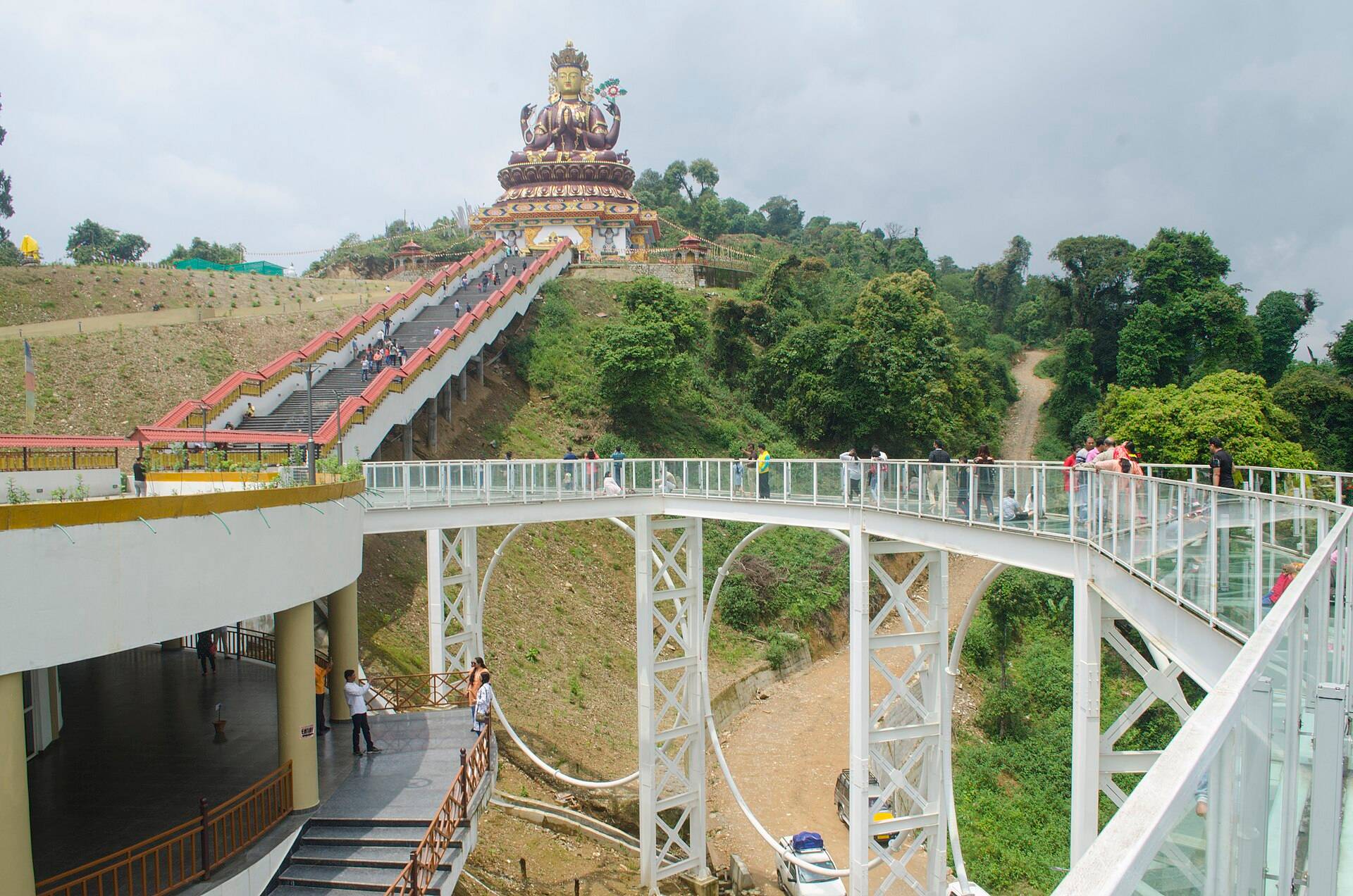
Pelling's glass skywalk leads to a 137-ft statue of Chenrezig on the ridge above town, with Kanchenjunga behind it. Here are the timings, fee, best light and what else is on the ridge.
Pemayangtse Monastery
Near Pelling, Gyalshing district
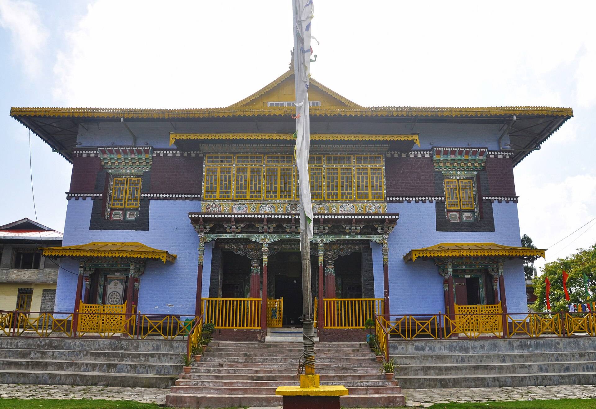
Pemayangtse, the 'perfect sublime lotus', is one of Sikkim's oldest and most important monasteries, founded in the 17th century near Pelling. Its seven-tier wooden model of Guru Rinpoche's paradise is the reason to go.
Rumtek Monastery
About 23 km from Gangtok
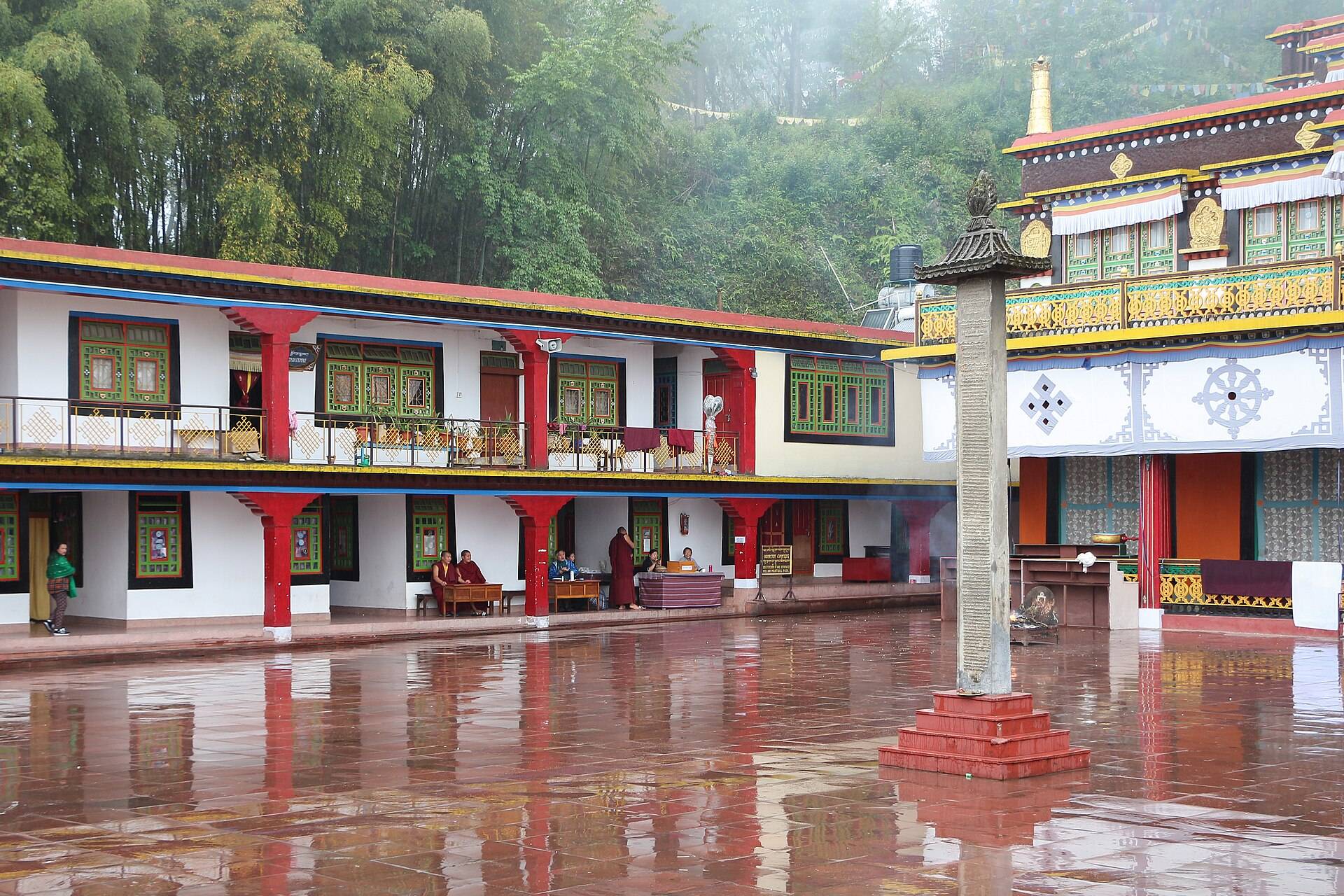
Rumtek is Sikkim's largest monastery, the seat of the Karmapa in exile, rebuilt in the 1960s in the style of Tsurphu in Tibet. It's about an hour from Gangtok.

Tsomgo (Changu) Lake
East Sikkim, about 38 km from Gangtok
Tsomgo Lake, also called Changu Lake, is a glacial lake at about 12,300 ft, 38 km from Gangtok. It's the easiest place near Gangtok to see snow, on a permit filed the day before.
Yumthang Valley
North Sikkim, 24 km above Lachung
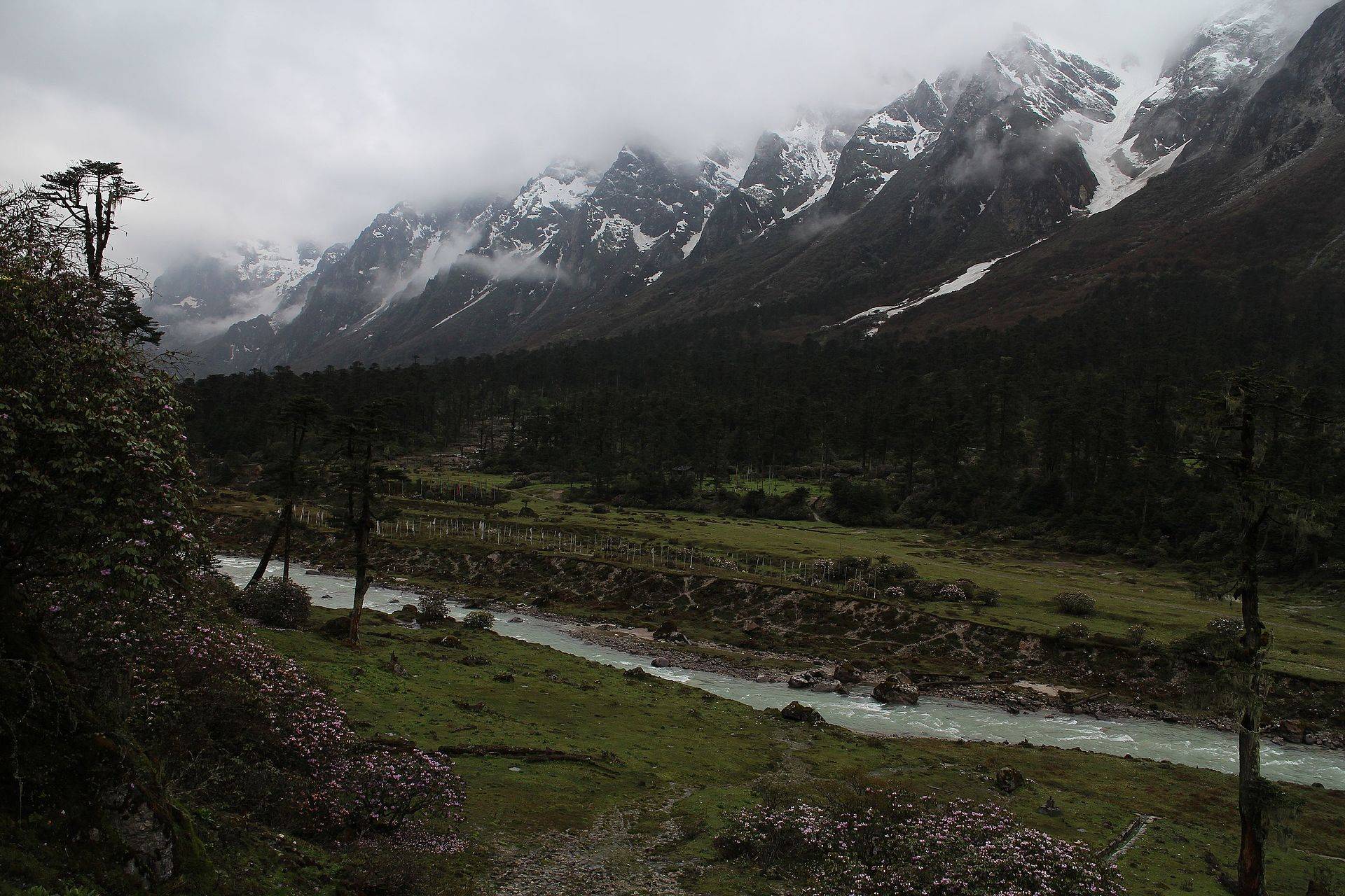
Yumthang, the 'valley of flowers', is a meadow at about 11,800 ft above Lachung, full of rhododendrons in spring and snow in winter, with Zero Point higher up.
Zero Point (Yumesamdong)
North Sikkim, 23 km above Yumthang
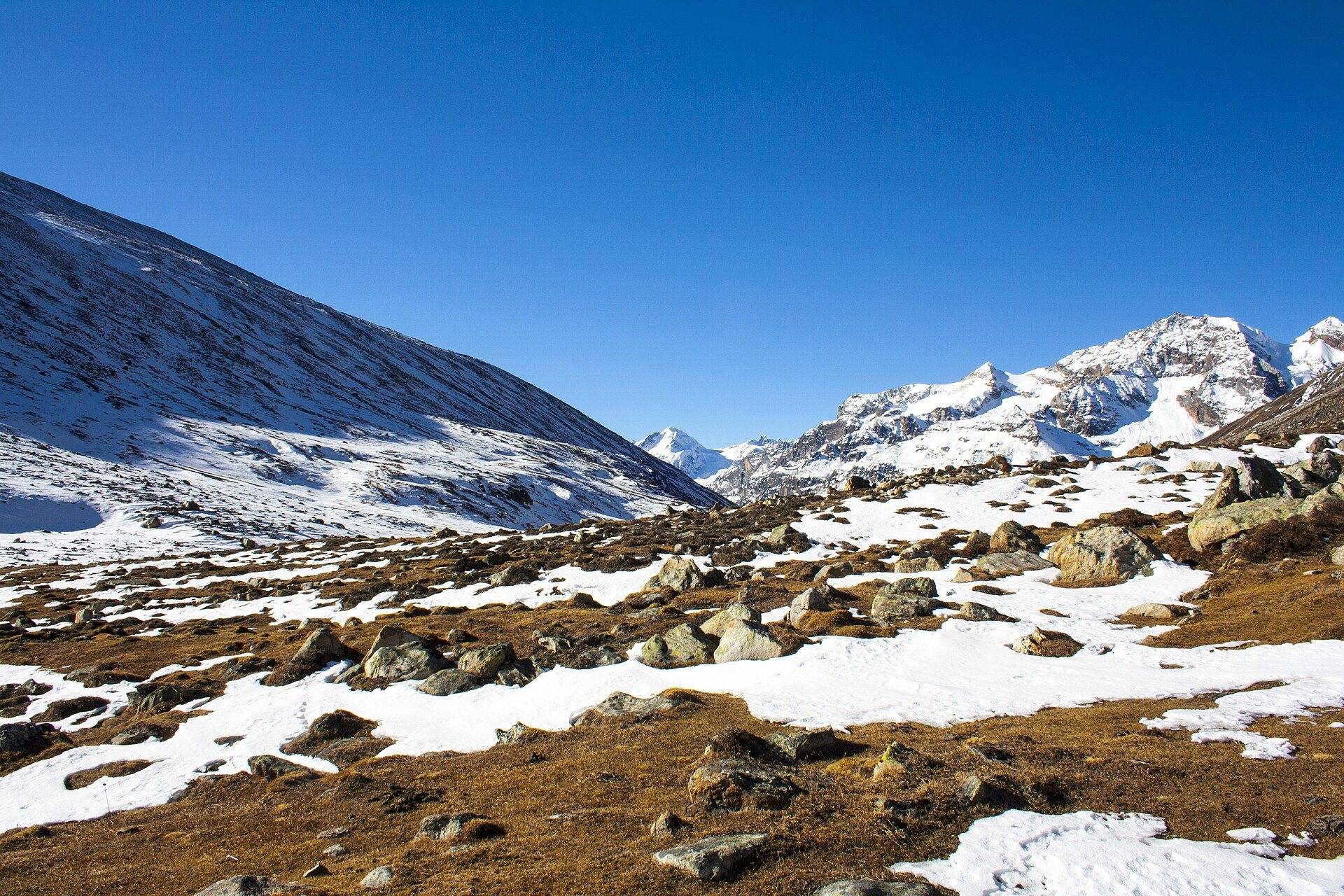
Zero Point, or Yumesamdong, is where the civilian road ends at about 15,300 ft above Lachung. It holds snow when Yumthang has none. Here is the permit, cost, timing and how to fit it in.
Zuluk and the Old Silk Route
Rongli subdivision, East Sikkim
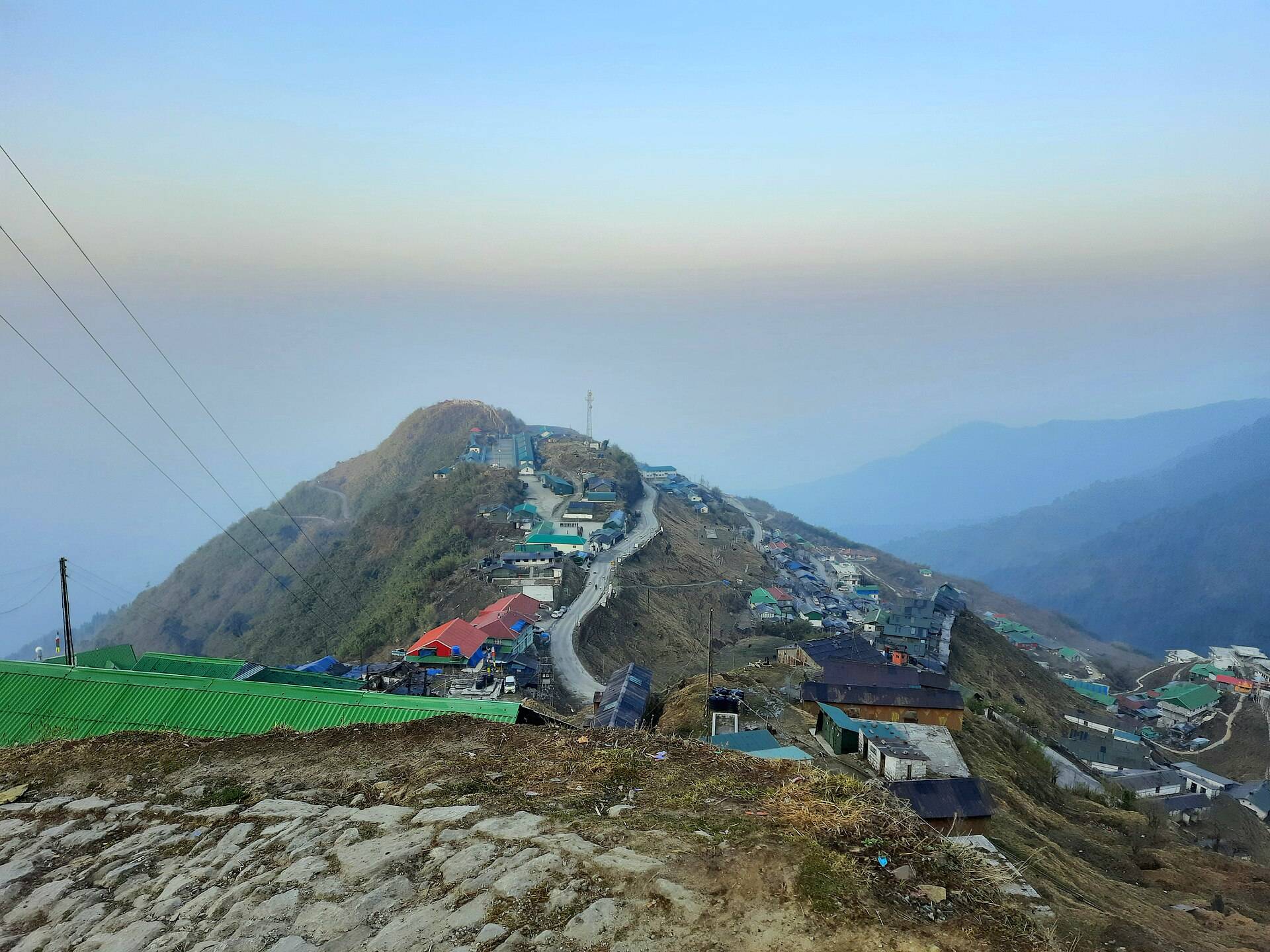
Zuluk is a tiny army-and-homestay hamlet at about 9,400 ft on the old Kalimpong–Lhasa trade route, famous for its zigzag road and Kanchenjunga sunrise at Thambi. Here is the permit, route and when to go.