- Where
- India–China border, Tawang district
- Altitude
- About 4,600 m (15,200 ft)
- Distance
- About 37 km from Tawang, 2–3 hours each way
- Timings
- Early morning start; army-escorted visits on permitted days
- Entry fee
- Permit plus a small visitor fee (about ₹50 reported); 4x4 hire extra
- Permit
- Special permit from the Tawang DC office, stamped by the army; Indian nationals only
- Best time
- April–June and October–November
- Time needed
- A full morning from Tawang
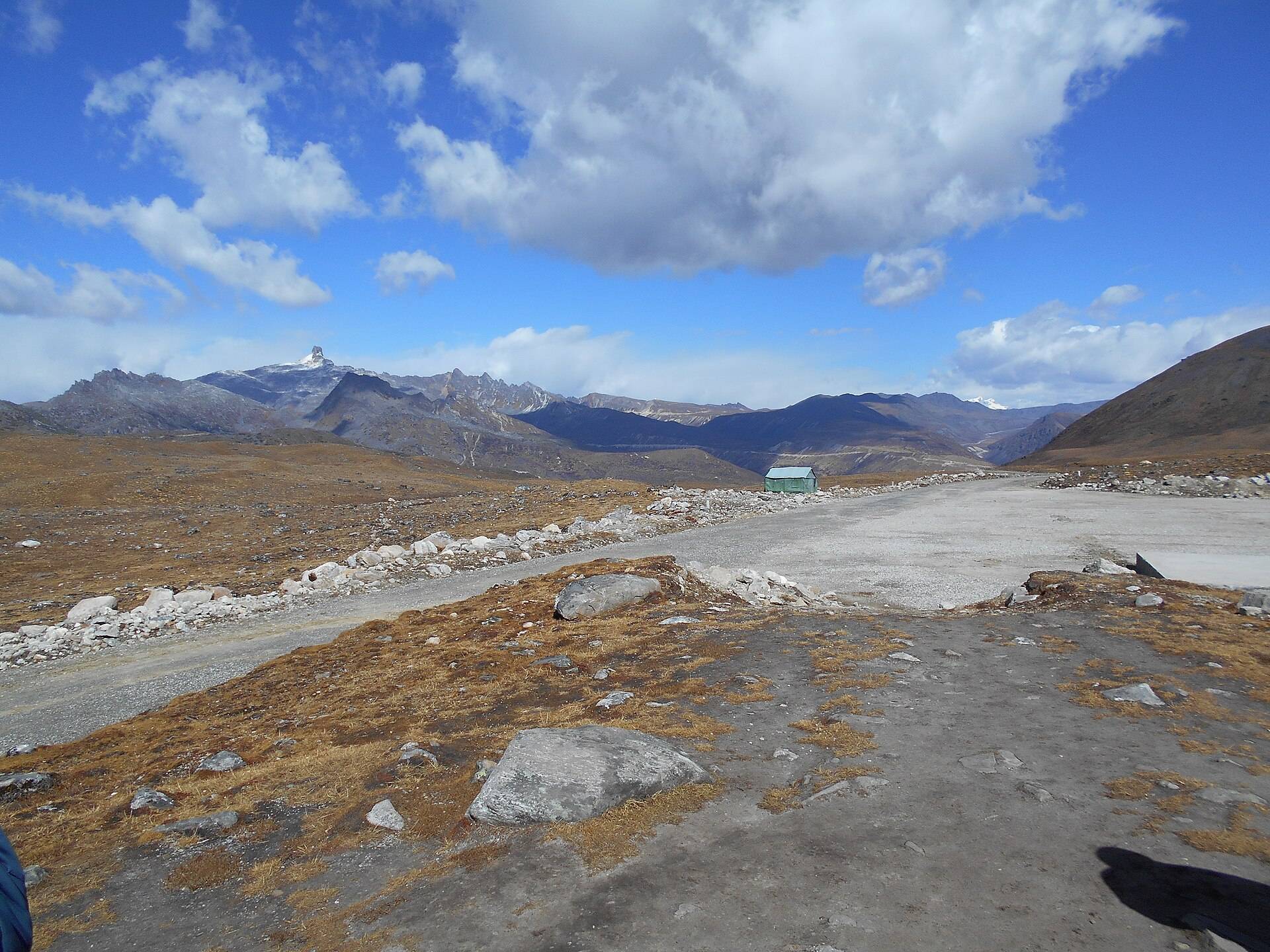
Bum La is the pass on the India–China border above Tawang, at roughly 15,200 ft. It is one of the very few places where Indian civilians can stand on the actual border, and the army post there gives a short talk on the history of the frontier. It is also one of the more complicated day trips in Northeast India to arrange.
History
- 1962: on 23 October 1962 the Chinese army attacked the Indian post at Bum La, held by a platoon of 1 Sikh under Subedar Joginder Singh. He was killed and awarded the Param Vir Chakra posthumously, India's highest gallantry award.
- 2006: the pass reopened for border trade for the first time in 44 years.
- Today: it is one of the agreed Border Personnel Meeting points between the two armies, and part of the army's Bharat Ranbhoomi Darshan initiative for battlefield tourism.
Permit: how it works
1. Apply at the Deputy Commissioner's office in Tawang a day before, with ID, your Arunachal ILP and photos. Most hotels and drivers handle this for you.
2. Get it stamped by the army at the Tawang cantonment. Without the army stamp, check posts won't let you through.
3. Only Indian nationals are permitted. Foreigners cannot go.
4. Permission can be cancelled at short notice for weather or the situation at the border.
Our Bum La permit guide has more detail.
The road and the vehicle
The 37 km road is rough, with snow and ice for much of the year. Only SUVs or 4x4s are advisable, and many drivers use local Bolero-type vehicles for this stretch. Allow 2–3 hours each way.
| From | Road distance | Usual drive time |
|---|---|---|
| Tawang town | about 37 km | 2–3 hrs each way |
Road distances from OpenStreetMap routing. Drive times are what we see on these mountain roads, not map estimates.
On the way
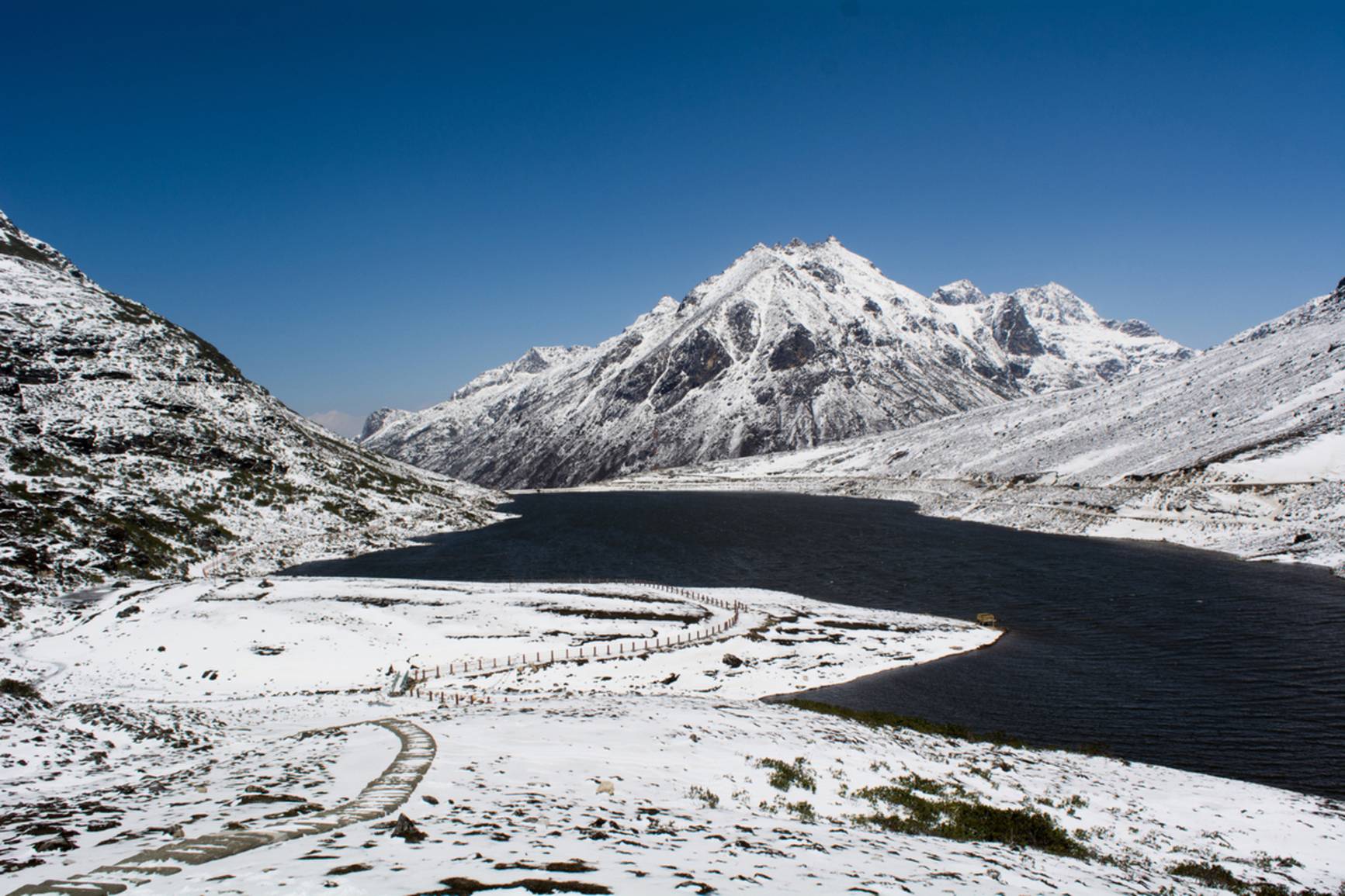
- Sangetsar (Madhuri) Lake is on a branch of the same road. Many people combine the two, though some days the army allows only one.
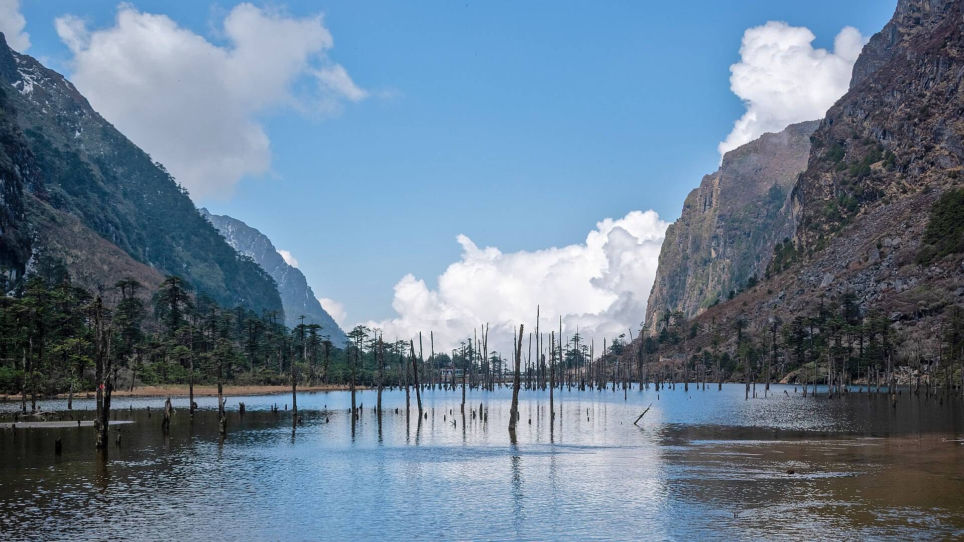
- PTso Lake and several smaller lakes line the high plateau.
Weather and best time
At this altitude, snow can fall in almost any month. Our ten-year data shows March and April as the snowiest.
| Month | Avg high | Avg low | Rain | Snow |
|---|---|---|---|---|
| Jan | -5°C | -16°C | Dry | Some |
| Feb | -4°C | -15°C | Light | Heavy |
| Mar | -2°C | -11°C | Wet | Heavy |
| Apr | 1°C | -7°C | Wet | Heavy |
| May | 4°C | -3°C | Wet | Heavy |
| Jun | 8°C | 1°C | Very wet | Some |
| Jul | 10°C | 3°C | Very wet | Light |
| Aug | 10°C | 3°C | Very wet | Light |
| Sep | 8°C | 1°C | Wet | Some |
| Oct | 5°C | -3°C | Light | Some |
| Nov | 1°C | -9°C | Dry | Some |
| Dec | -1°C | -11°C | Dry | Some |
Monthly averages for 2015–2024 from ERA5 reanalysis via Open-Meteo, at the site's elevation (about 4499 m). Rain and snow are rated relative to this location's own year.
- April–June: snow on the plateau, roads mostly open.
- October–November: clearest skies, very cold.
- December–February: often closed by snow.
- July–September: rain, fog and landslides.
Things most guides don't tell you
- Spend two nights in Tawang first. Going from Tawang (about 3,000 m) to 4,600 m on your first full day is a common cause of altitude sickness.
- Photography is restricted near the border post. Follow the soldiers' instructions exactly.
- Carry snacks, water and warm gloves. There's little on the route, and it is bitterly cold even in summer.
Nearby
- Sangetsar (Madhuri) Lake, on the same plateau.
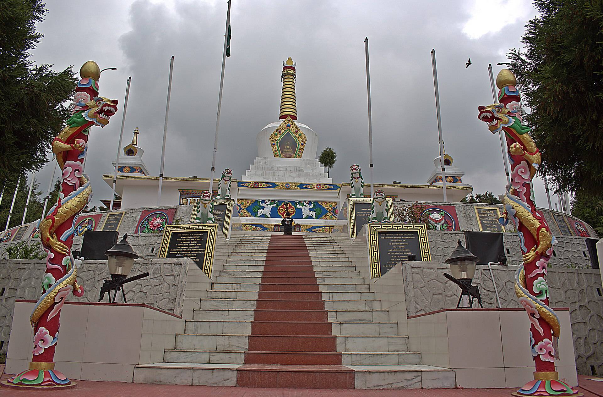
- Tawang War Memorial, back in town.
- Tawang Monastery.
Bum La Pass: questions travellers ask
How do I get a permit for Bum La Pass?
Apply at the Deputy Commissioner's office in Tawang a day before, then get it stamped by the army in the Tawang cantonment. Hotels and drivers usually arrange this.
Can foreigners visit Bum La Pass?
No. Only Indian nationals are permitted.
How high is Bum La Pass?
About 15,200 ft (around 4,600 m).
How far is Bum La from Tawang?
About 37 km, 2–3 hours each way on a rough road.
Is Bum La open now?
It depends on snow and on the army. Permission can be cancelled at short notice; check in Tawang the day before.
Which vehicle is needed for Bum La?
An SUV or 4x4. Many visitors hire a local vehicle for this stretch.
What happened at Bum La in 1962?
On 23 October 1962 Chinese troops attacked the Indian post here, held by a platoon of 1 Sikh. Its commander, Subedar Joginder Singh, was killed and awarded the Param Vir Chakra posthumously.
Can we visit Bum La and Sangetsar Lake on the same day?
Usually yes, as they are on the same high plateau, but some days the army allows only one.
Sources
- Wikipedia: Bum La Pass
- Wikipedia: Joginder Singh (soldier)
- Discover with Dheeraj: Tawang travel guide 2026
- Seniors Today: Tawang and Bumla
Timings and fees change. Check on the day, or ask us when you book.