- Where
- Border of Tawang and West Kameng districts, NH-13
- Altitude
- About 4,170 m (13,700 ft)
- Distance
- About 60–80 km from Tawang; 60 km from Dirang
- Timings
- Drive across in daylight; avoid after about 3pm in winter
- Entry fee
- Free
- Permit
- Arunachal Inner Line Permit for Indians, Protected Area Permit for foreigners
- Best time
- March–May and October–November; snow December–March
- Time needed
- 30–45 minutes stop
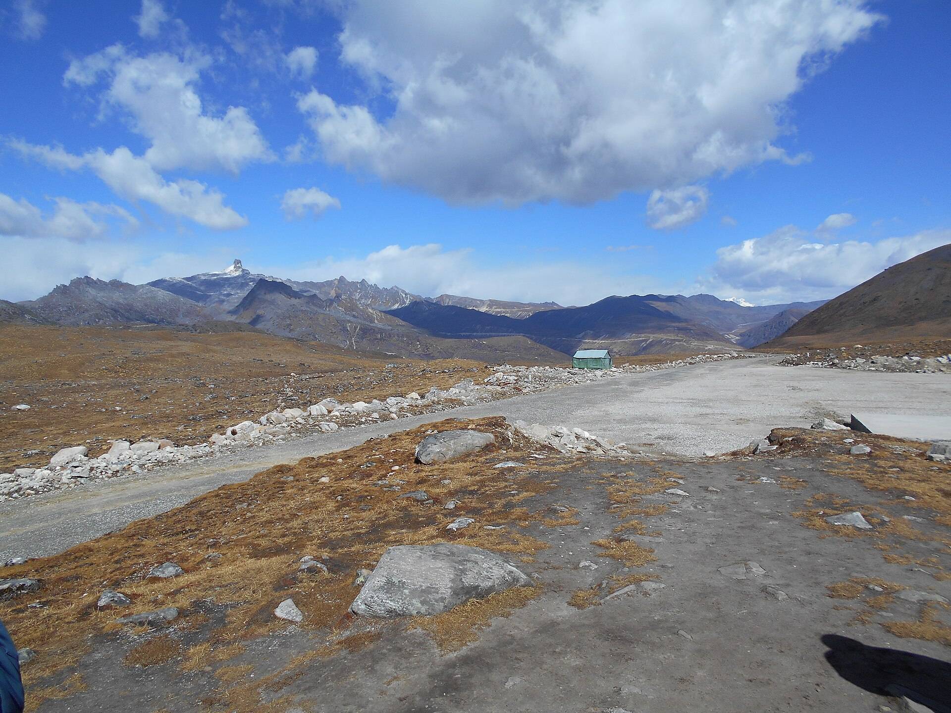
Sela Pass is the high point on the road to Tawang, a 13,700 ft (4,170 m) saddle on the range that separates Tawang from the rest of Arunachal. For decades every Tawang trip crossed it, through snow, fog and prayer flags, and for many people it is the most memorable moment of the drive.
The Sela Tunnel: do you still cross the pass?
The Sela Tunnel, inaugurated on 9 March 2024, runs below the pass at about 3,000 m and gives Tawang all-weather road access. Army convoys and heavy traffic now use it. But the old road over the pass stays open, and tourist cars still take it in good weather for the views, the lake and the gate. If the pass is snowed in, your driver will take the tunnel instead. Tell your driver in advance if you want the pass.
Sela Lake and the legend of Sela
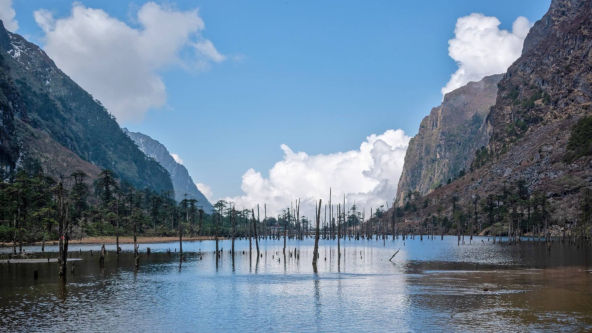
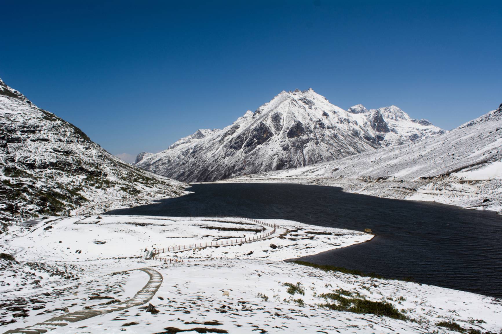
- Sela Lake (sometimes called Paradise Lake) lies just below the summit. It is one of about 101 lakes in the region considered sacred in Tibetan Buddhism, and freezes over in winter.
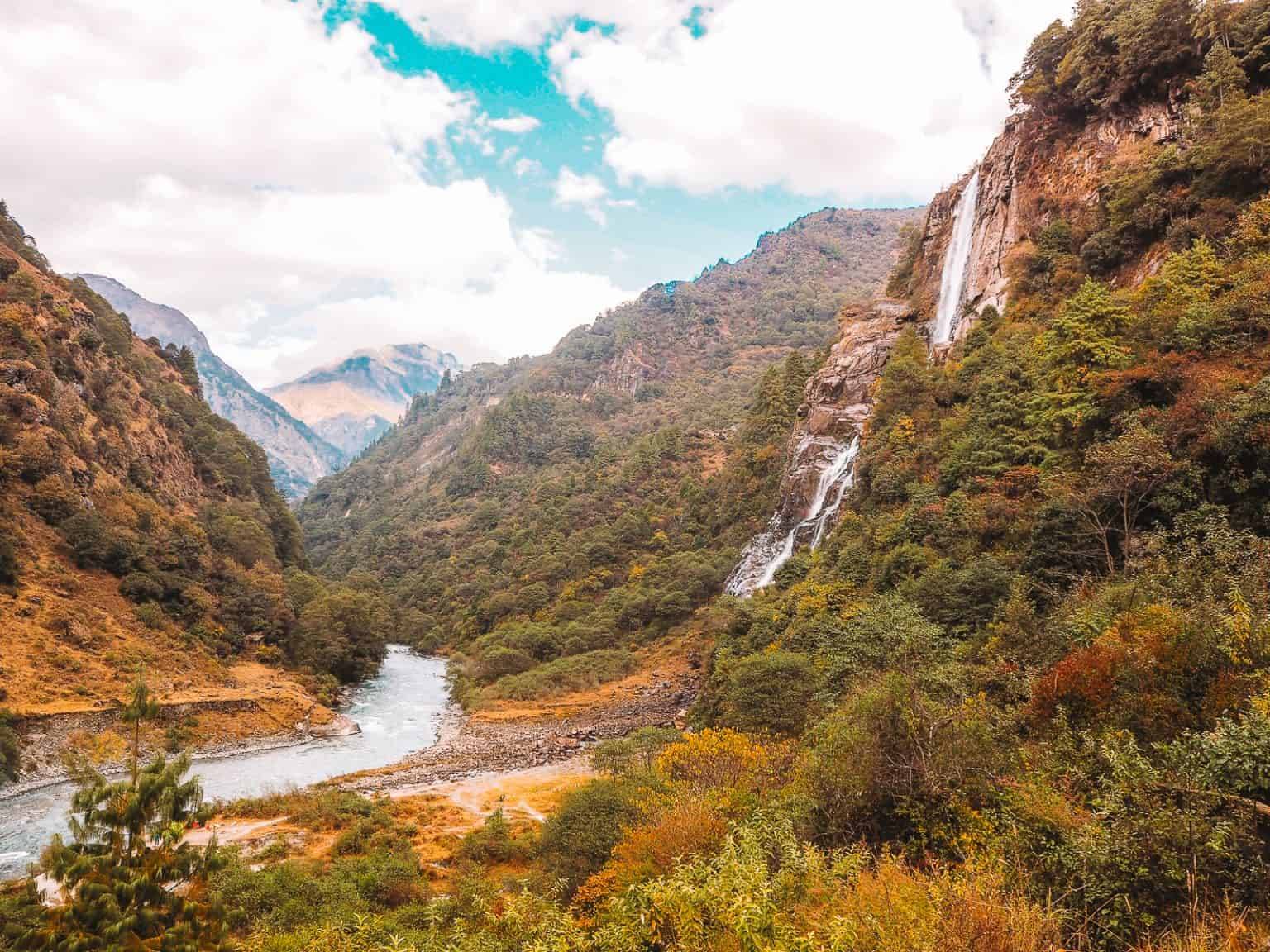
- The name: in the 1962 war, Rifleman Jaswant Singh Rawat is said to have held the Chinese off near here with the help of two Monpa girls, Sela and Nura. The legend says Sela died and Nura was captured. The pass, lake and tunnel are named after Sela, and Nuranang Falls after Nura. Our Jaswant Garh War Memorial page tells the rest.
What you'll see
- The Sela gate with its "Welcome to Tawang" arch and prayer flags.
- Sela Lake, frozen white from about December to March.
- Yaks, often grazing by the road in summer.
- The army café near the pass, for tea and momos at 13,700 ft.
How to reach Sela Pass
Sela is on NH-13 between Dirang and Tawang. From Guwahati, Tawang is a two-day drive with a night at Dirang or Bomdila; Sela comes on day two. See our Tawang tour packages, Guwahati to Tawang cab and detailed Sela Pass weather and altitude guide.
| From | Road distance | Usual drive time |
|---|---|---|
| Dirang | about 60 km | 1.5–2 hrs |
| Tawang town | about 70–80 km | 2–2.5 hrs |
| Bomdila | about 105 km | 3 hrs |
| Tezpur | about 260 km | 8–9 hrs |
Road distances from OpenStreetMap routing. Drive times are what we see on these mountain roads, not map estimates.
Weather and snow
The pass is cold all year and can see snow in any season. Our ten-year data shows snowfall peaking in March, with February and April close behind.
| Month | Avg high | Avg low | Rain | Snow |
|---|---|---|---|---|
| Jan | -2°C | -14°C | Dry | Some |
| Feb | -1°C | -13°C | Light | Some |
| Mar | 1°C | -9°C | Wet | Heavy |
| Apr | 4°C | -5°C | Wet | Some |
| May | 7°C | -2°C | Wet | Light |
| Jun | 10°C | 2°C | Very wet | – |
| Jul | 11°C | 4°C | Very wet | – |
| Aug | 11°C | 3°C | Very wet | – |
| Sep | 10°C | 2°C | Wet | – |
| Oct | 7°C | -3°C | Light | Light |
| Nov | 4°C | -7°C | Dry | Light |
| Dec | 1°C | -10°C | Dry | Some |
Monthly averages for 2015–2024 from ERA5 reanalysis via Open-Meteo, at the site's elevation (about 4196 m). Rain and snow are rated relative to this location's own year.
- March–May: snow at the top, open roads, rhododendrons on the lower slopes.
- October–November: clear skies and dry roads.
- December–February: the lake freezes and the old road may close after snowfall; the tunnel keeps Tawang open.
- June–September: fog, rain and occasional landslides.
Things most guides don't tell you
- Cross before noon. Fog and cloud usually build over the pass in the afternoon.
- Altitude: you climb from about 1,500 m at Dirang to 4,170 m in under two hours. Don't run or climb around the lake, and descend if you feel unwell. Read our Guwahati–Tawang altitude guide.
- Carry cash. There are no ATMs between Dirang and Tawang.
Nearby
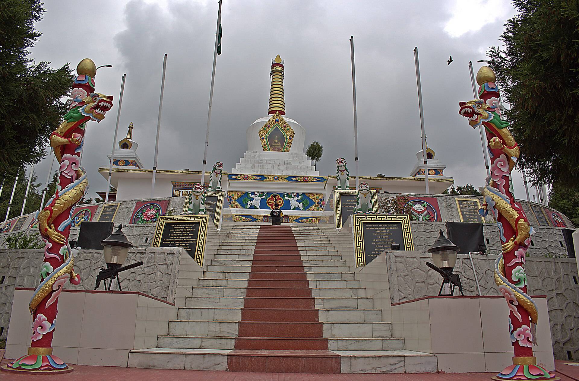
- Jaswant Garh War Memorial, on the descent towards Jang.
- Nuranang Falls, near Jang.
- Tawang Monastery, the end of the road.
Sela Pass: questions travellers ask
What is the height of Sela Pass?
About 4,170 m (13,700 ft).
Is Sela Pass closed after the Sela Tunnel opened?
No. The old road over the pass stays open and tourists still cross it in good weather. The tunnel is used when the pass is snowed in.
When was the Sela Tunnel opened?
It was inaugurated on 9 March 2024.
Is there snow at Sela Pass?
Often from December to April, and it can snow in any month. Our ten-year data shows March as the snowiest month, with February and April close behind.
Who was Sela?
In local legend, a Monpa girl who helped Rifleman Jaswant Singh Rawat during the 1962 war. The pass, lake and tunnel are named after her.
Does Sela Lake freeze?
Yes, usually from about December to March.
How far is Sela Pass from Tawang?
About 60–80 km depending on the route, 2–2.5 hours by road.
Do I need a permit for Sela Pass?
Indians need an Arunachal Inner Line Permit and foreigners a Protected Area Permit, as for all of Tawang.
Sources
- Wikipedia: Sela Pass
- Wikipedia: Sela Tunnel
- Tawang district: tourist places
- Thrilling Travel: one day in Sela Pass
Timings and fees change. Check on the day, or ask us when you book.