- Where
- Zemithang circle, Tawang district, on the Bumla road
- Altitude
- About 3,708 m (12,165 ft)
- Distance
- About 35 km north of Tawang, 2–2.5 hours on a rough road
- Timings
- Day visits with the Bumla trip, in clear weather
- Entry fee
- None reported
- Permit
- Arunachal ILP plus the Bumla-sector permit from the DC's office in Tawang, stamped by the Army
- Best time
- April–October
- Time needed
- Part of a 6–7 hour Bumla day
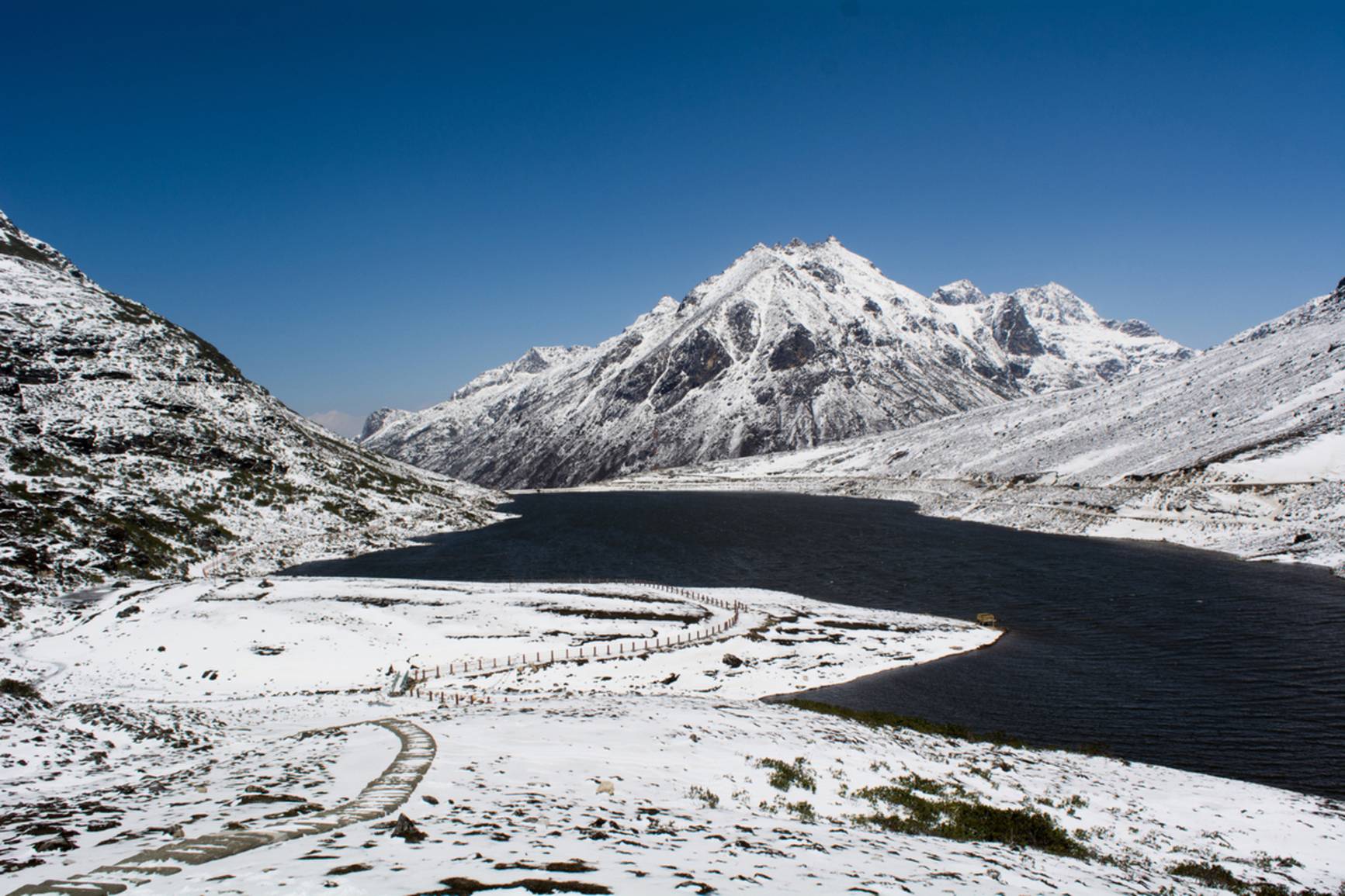
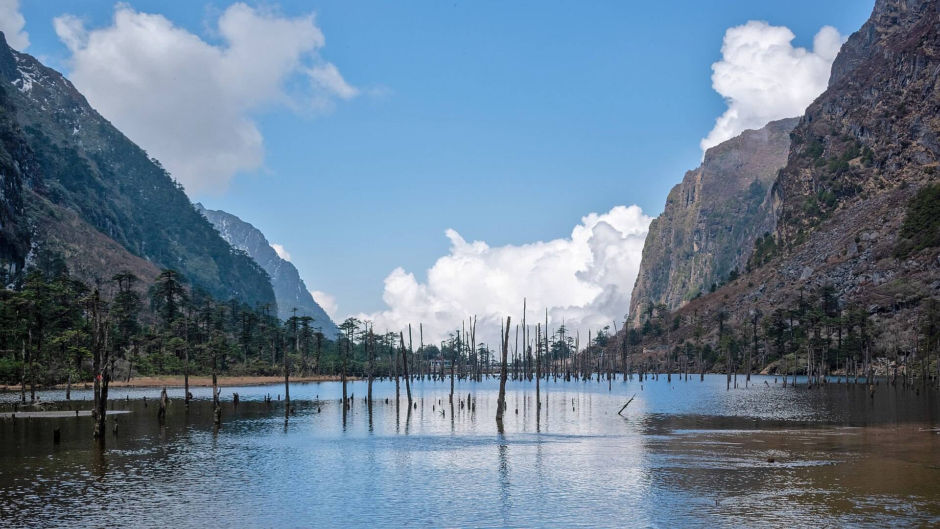
Sangetsar Lake, officially Sangestar Tso and once called Shonga-tser, lies at about 3,708 m (12,165 ft) on the road from Tawang to the Bumla border pass. Bare, silver tree trunks stand in the still water, the remains of a forest drowned when the lake formed. Everyone in Tawang calls it Madhuri Lake.
How the lake was made
The lake did not exist before 1950. That year's great Assam–Tibet earthquake sent rock, boulders and trees down the valley of the Taktsang Chu, damming the stream and flooding the forest behind it. The trees died standing, which is why the lake looks the way it does.
Why it's called Madhuri Lake
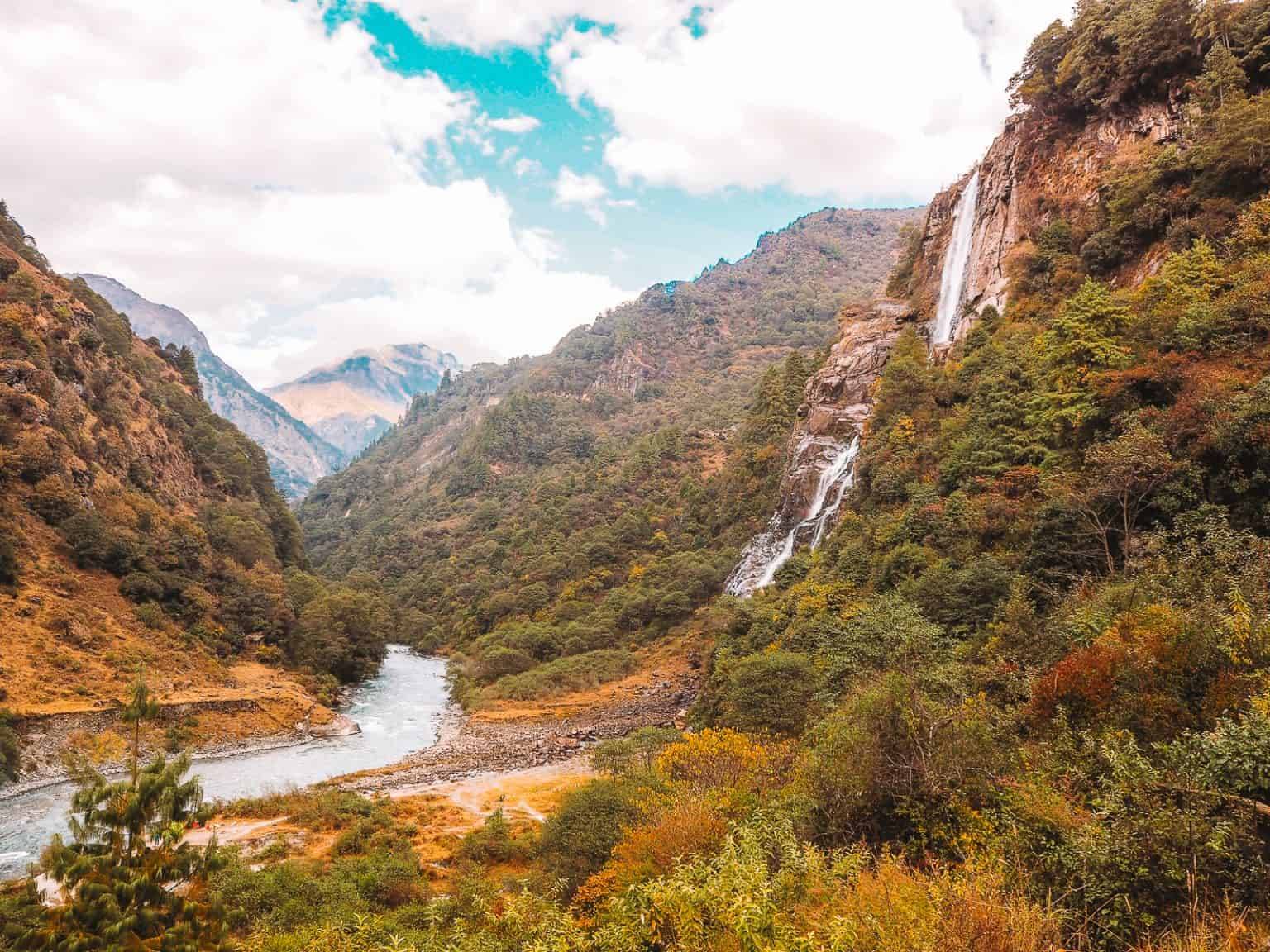
In 1997 the song Tanhai Tanhai from the film Koyla, with Madhuri Dixit and Shah Rukh Khan, was shot here and at Nuranang Falls. It was one of the first Bollywood shoots in Arunachal, and the nickname stuck.
Where it is
- About 35 km north of Tawang by road, and about 6.4 km west of Bum La Pass.
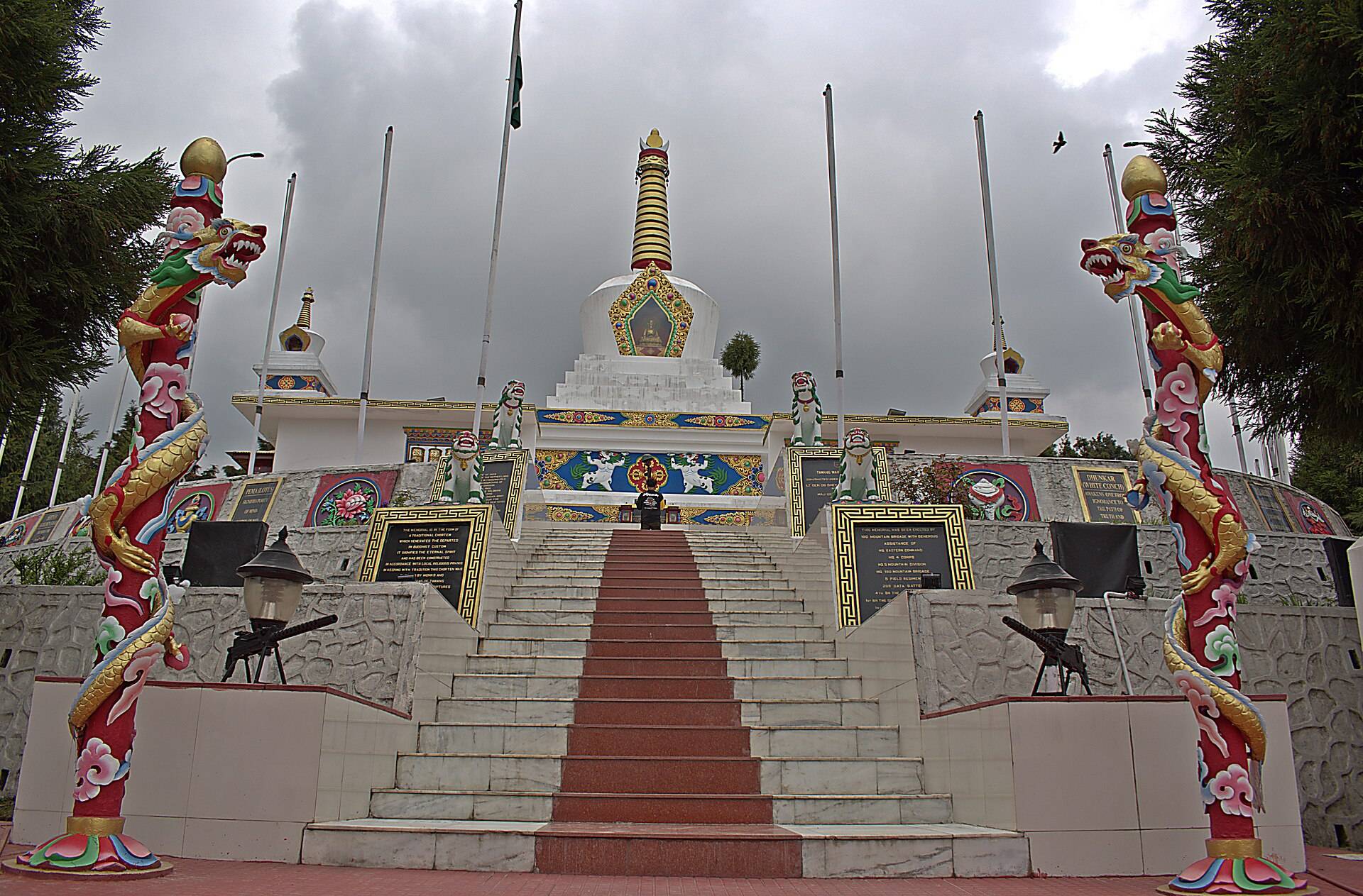
- Taktsang Gompa, a monastery linked to Padmasambhava, is about 2.4 km west of the lake.
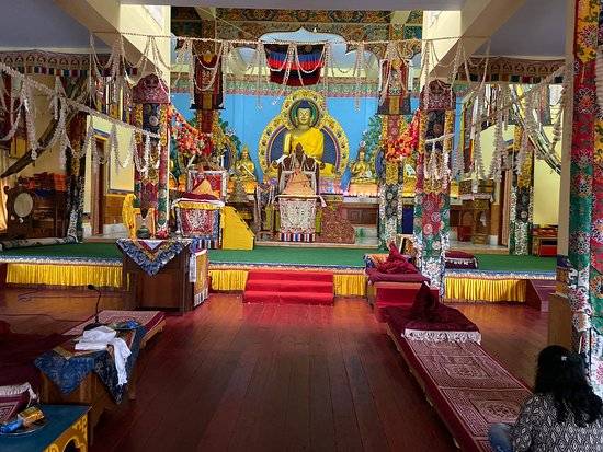
- The lake is sacred to Buddhists of the region, who visit on set days.
Permit and how to visit
The lake is in an Army-controlled border area. You need:
- The Arunachal ILP (Indians) for Tawang.
- The Bumla-sector permit from the Deputy Commissioner's office in Tawang, then stamped at the Army cantonment. Without the stamp, check posts won't let you through. See our Bum La permit guide.
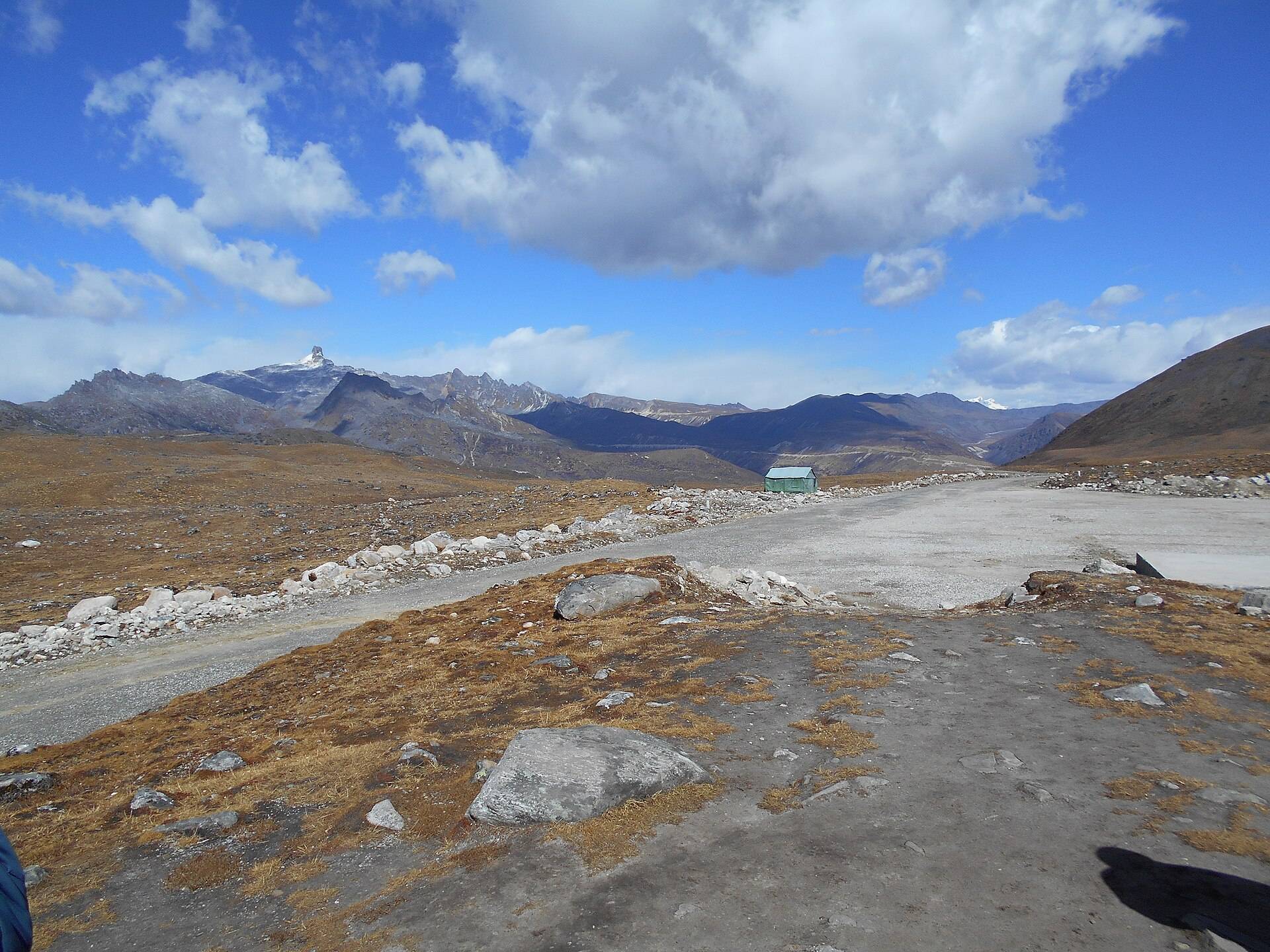
- A sturdy SUV and a clear day. The road is rough and closes after rain or snow.
Foreign nationals cannot go to Bum La; whether the lake itself is open to them changes, so ask your operator.
| From | Road distance | Usual drive time |
|---|---|---|
| Tawang town | about 35 km | 2–2.5 hrs |
Road distances from OpenStreetMap routing. Drive times are what we see on these mountain roads, not map estimates.
Weather and best time
At 3,700 m the lake is frozen or snowbound for much of the winter. The ten-year record shows February and March as the snowiest months and sub-zero nights from November to April.
| Month | Avg high | Avg low | Rain | Snow |
|---|---|---|---|---|
| Jan | 0°C | -13°C | Light | Heavy |
| Feb | 0°C | -10°C | Wet | Heavy |
| Mar | 3°C | -5°C | Wet | Heavy |
| Apr | 6°C | -2°C | Wet | Some |
| May | 9°C | 1°C | Wet | Light |
| Jun | 13°C | 5°C | Very wet | – |
| Jul | 14°C | 7°C | Very wet | – |
| Aug | 14°C | 7°C | Very wet | – |
| Sep | 13°C | 5°C | Wet | – |
| Oct | 10°C | 0°C | Wet | – |
| Nov | 6°C | -5°C | Light | Some |
| Dec | 3°C | -9°C | Light | Some |
Monthly averages for 2015–2024 from ERA5 reanalysis via Open-Meteo, at the site's elevation (about 3702 m). Rain and snow are rated relative to this location's own year.
- April–October: the usual window.
- May–June and October: the clearest days.
- December–March: the lake often freezes and the road can close.
Things most guides don't tell you
- Apply for the Bumla permit on your first day in Tawang. It's issued a day ahead.
- Go early. Clear mornings often cloud over by early afternoon.
- Altitude: you're higher than Tawang. Walk slowly and keep warm.
- Combine it with Bum La and Y-Junction lake on the same day.
Nearby
Sangetsar (Madhuri) Lake: questions travellers ask
Why is Sangetsar Lake called Madhuri Lake?
Because a song from the 1997 film Koyla, starring Madhuri Dixit, was shot here.
How was Sangetsar Lake formed?
By the 1950 Assam–Tibet earthquake, which dammed a stream with rock and trees and flooded a forest. The dead tree trunks still stand in the water.
How far is Madhuri Lake from Tawang?
About 35 km by road, 2 to 2.5 hours on a rough mountain road.
Do I need a permit for Madhuri Lake?
Yes. Besides the Arunachal ILP, you need the Bumla-sector permit from the DC's office in Tawang, stamped by the Army.
Is Madhuri Lake open now?
It depends on weather and the Army. The usual window is April to October; check in Tawang the day before.
What is the altitude of Madhuri Lake?
About 3,708 m, or 12,165 ft.
How far is Madhuri Lake from Bum La?
About 6.4 km in a straight line; most trips visit both on the same day.
What is the official name of Madhuri Lake?
Sangestar Tso, formerly Shonga-tser Lake.
Sources
Timings and fees change. Check on the day, or ask us when you book.