- Where
- Zuluk (Dzuluk), Rongli subdivision, Pakyong district
- Altitude
- About 2,900 m (9,400 ft)
- Distance
- About 90 km from Gangtok via Rongli
- Timings
- Day permits; most people stay a night in a homestay
- Entry fee
- No entry fee; permit charges via your operator
- Permit
- Protected Area permit via Rongli or a registered operator; Indian nationals only
- Best time
- March–May and October–December
- Time needed
- 1–2 nights
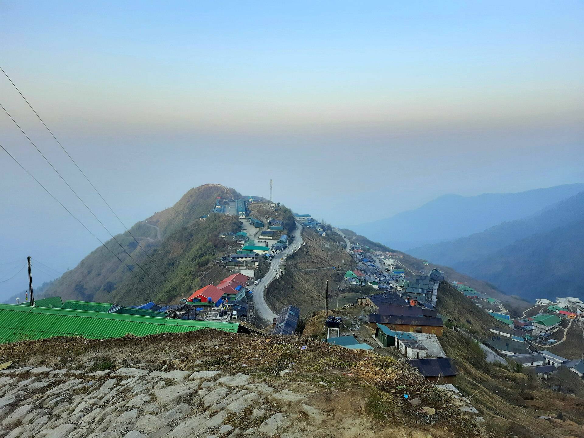
Zuluk (also spelt Dzuluk) is a hamlet of a few dozen homes and an army camp at about 9,400 ft in East Sikkim. It sits on the Old Silk Route that once ran from Kalimpong over Jelep La into Tibet, and today it is known for one thing above all: the stacked zigzag of road on the hillside above it.
The Old Silk Route
For centuries mule caravans carried wool, salt and musk from Tibet to Kalimpong, and cloth and tea the other way, over Jelep La. Zuluk was an overnight halt. The trade stopped after the Chinese takeover of Tibet in 1959 and the 1962 war. The route now runs from Rongli through Lingtam, Padamchen, Zuluk, Thambi, Lungthung and Gnathang to Kupup, where it joins the Nathu La road near Baba Mandir.
What to see
- The zigzag road above Zuluk, best seen from the Thambi viewpoint or the "loop" viewpoint above the village. Sources give 32 hairpin bends on this stretch; you will see various other numbers quoted.
- Thambi View Point, about 14 km above Zuluk at roughly 11,200 ft, for sunrise on Kanchenjunga.
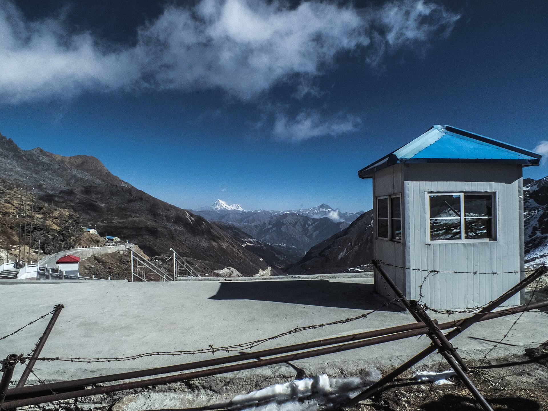
- Gnathang (Nathang) Valley, a high, wide valley about 8 km beyond Thambi, often snow-covered for much of the year.
- Kupup Lake (elephant lake) and the old Baba Mandir, further up the route.
- Wildlife: Zuluk is on the edge of Pangolakha Wildlife Sanctuary. Blood pheasants, Himalayan monals and, rarely, red pandas are seen; rhododendrons cover the slopes in April–May.
How to reach Zuluk and the permit
Zuluk is about 90 km from Gangtok via Rongli, where the permit is checked. You need a protected area permit arranged by a registered operator or homestay, and a Sikkim-registered vehicle. Foreigners are not allowed. Read our Zuluk winter and permit guide and Old Silk Route guide.
| From | Road distance | Usual drive time |
|---|---|---|
| Rongli | about 30 km | 1 hr |
| Gangtok | about 95 km | 3.5–4 hrs |
| NJP station | about 135 km | 4.5–5 hrs |
Road distances from OpenStreetMap routing. Drive times are what we see on these mountain roads, not map estimates.
Weather and best time
Zuluk itself is milder than the passes above it. Our ten-year data at the village shows little snow; the snow is higher up at Thambi, Gnathang and Kupup.
| Month | Avg high | Avg low | Rain | Snow |
|---|---|---|---|---|
| Jan | 6°C | -2°C | Dry | Light |
| Feb | 8°C | 0°C | Dry | Light |
| Mar | 11°C | 2°C | Light | – |
| Apr | 13°C | 5°C | Light | – |
| May | 15°C | 8°C | Wet | – |
| Jun | 17°C | 11°C | Very wet | – |
| Jul | 17°C | 12°C | Very wet | – |
| Aug | 17°C | 12°C | Very wet | – |
| Sep | 17°C | 11°C | Wet | – |
| Oct | 14°C | 7°C | Light | – |
| Nov | 11°C | 4°C | Dry | – |
| Dec | 8°C | 1°C | Dry | Light |
Monthly averages for 2015–2024 from ERA5 reanalysis via Open-Meteo, at the site's elevation (about 2709 m). Rain and snow are rated relative to this location's own year.
- March–May: rhododendrons, mostly clear mornings.
- October–December: the clearest skies and sunrise views.
- December–February: snow on the upper route; the road beyond Zuluk can close and permits may be suspended.
- June–September: monsoon, landslides and cloud.
Things most guides don't tell you
- Stay the night. A day trip from Gangtok sees only the road. Sunrise at Thambi needs a 4:30am start from a Zuluk homestay.
- Homestays are basic. Shared bathrooms, early dinners and cold rooms are normal; carry warm layers and a power bank.
- Altitude climbs fast from Zuluk (2,900 m) to Kupup (about 4,000 m). Go slowly and stay hydrated.
- Many trips combine Zuluk with Aritar and Rishikhola on the lower route for a 3–4 day loop.
Nearby
- Baba Harbhajan Singh Mandir, via Kupup.
- Tsomgo Lake and Nathu La, on the Gangtok side of the same ridge.
Zuluk and the Old Silk Route: questions travellers ask
What is the altitude of Zuluk?
About 9,400 ft (2,900 m). Thambi viewpoint above it is around 11,200 ft.
Do I need a permit for Zuluk?
Yes. It is a protected area. Your operator or homestay arranges the permit, which is checked at Rongli.
Can foreigners visit Zuluk?
No, foreign nationals are not issued permits for Zuluk.
How many hairpin bends are there at Zuluk?
The figure most often given is 32 on the famous zigzag stretch. Other numbers are quoted for the whole route.
Is there snow in Zuluk?
The village itself sees little snow, but Thambi, Gnathang and Kupup above it are often snow-covered from December to March.
Is Zuluk open in winter?
Usually, but the upper road can close after heavy snow and permits may be suspended for a few days.
How many days do you need for Zuluk?
At least one night. Two or three nights let you combine it with Aritar and the Gnathang valley.
Why is Zuluk called the Silk Route?
It was a halt on the old trade route from Kalimpong over Jelep La to Tibet, used until 1959–62.
Sources
- Wikipedia: Dzuluk
- Ministry of Tourism: Zuluk
- Darjeeling Tourism: Zuluk and the Silk Route
- Discover with Dheeraj: Zuluk travel guide
- Photo: Tsen2006, CC BY-SA 4.0, Wikimedia Commons
Timings and fees change. Check on the day, or ask us when you book.