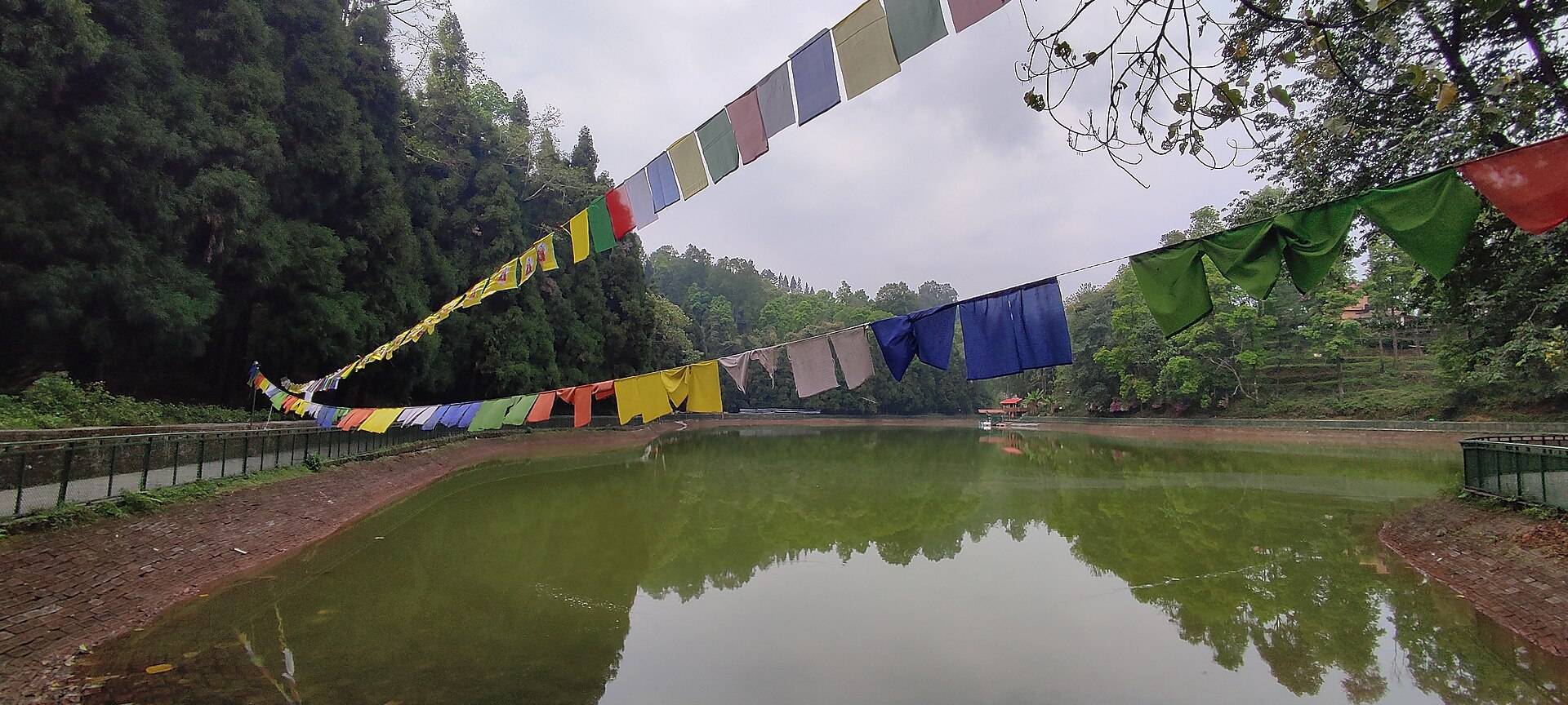
- Where
- Aritar, Rongli subdivision, Pakyong district
- Altitude
- About 1,400 m (4,600 ft)
- Distance
- About 65–67 km from Gangtok; 14 km from Rongli
- Timings
- Daylight; boating in daytime
- Entry fee
- Small entry and boating charges
- Permit
- Not needed for Indian citizens
- Best time
- October–April
- Time needed
- Half a day; a night if doing the Silk Route
Aritar is a hill village in East Sikkim, on the edge of the Himalaya near the Bengal border, and Lampokhari is the lake that put it on the map. It's long and narrow, fringed with forest, and Wikipedia describes it as one of the oldest natural lakes in Sikkim and the only one set up for boating. Aritar makes a calm overnight on the way to Zuluk and the Old Silk Route.
Things to do at Aritar
- Boating on Lampokhari, in paddle and rowing boats.
- Walk around the lake on the path that circles it.
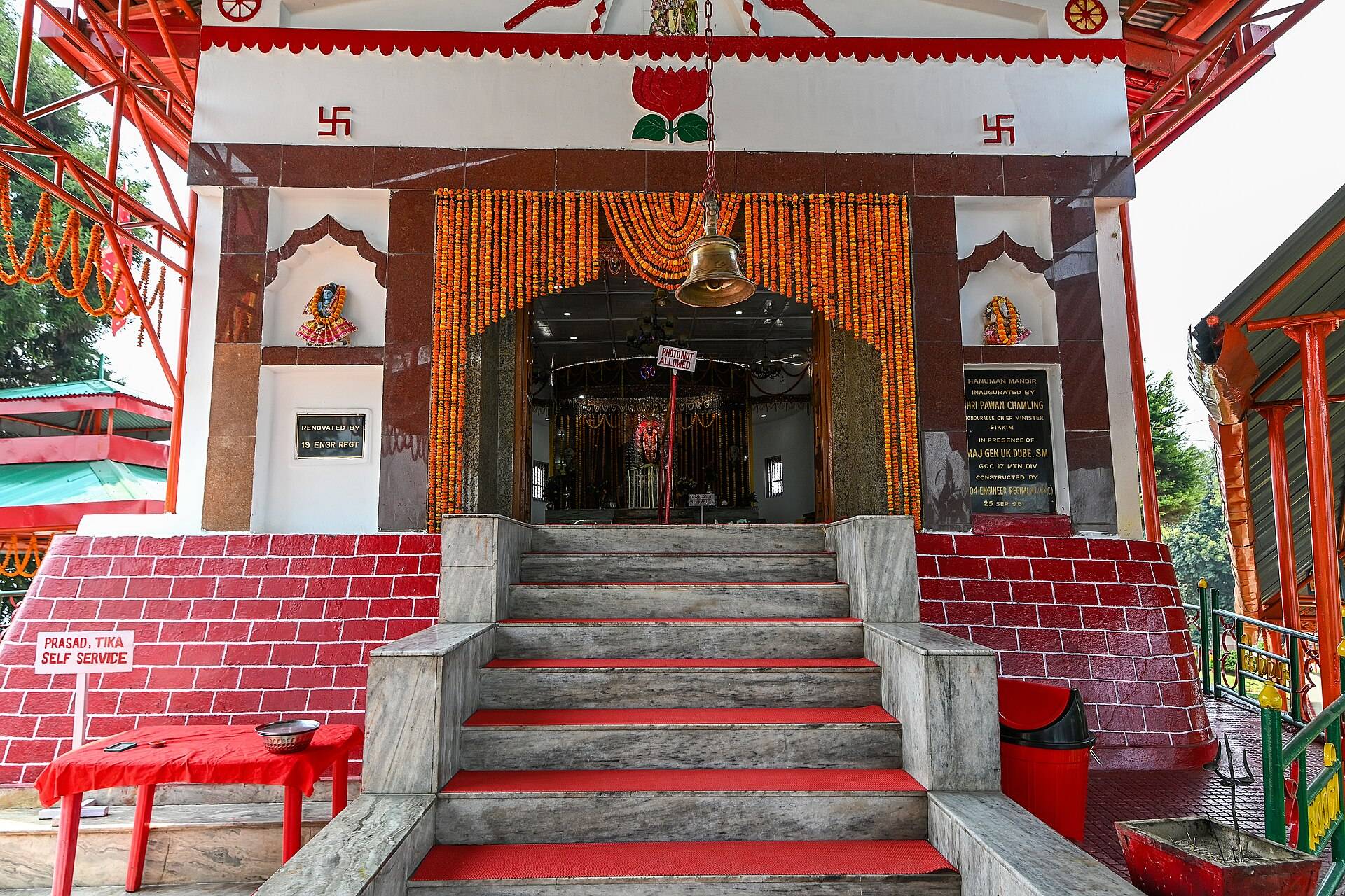
- Mankhim viewpoint: a hilltop Rai temple at about 6,500 ft with views over the lake, the forest and, on clear days, the snow peaks.
- The Aritar dak bungalow, built in 1895 by John Claude White, the first British Political Officer in Sikkim. Sikkim's first treasury and police outpost were set up on the same grounds.
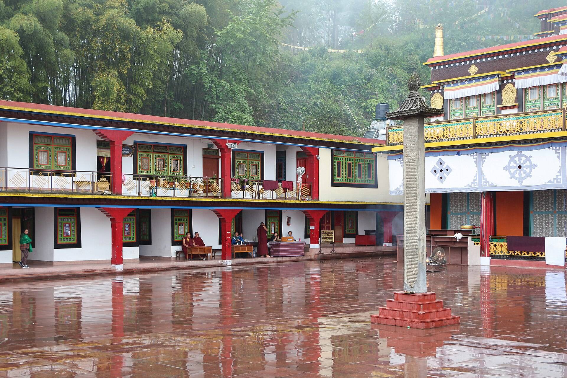
- Aritar Gumpa, an old Kagyu monastery.
How to reach Aritar
Aritar is reached from Rangpo or Rorathang towards Rongli. From NJP it's about 3.5–4 hours; from Gangtok, about 2.5–3 hours.
| From | Road distance | Usual drive time |
|---|---|---|
| Rongli | about 15 km | 30 min |
| Gangtok | about 65 km | 2.5–3 hrs |
| NJP station | about 110 km | 3.5–4 hrs |
Road distances from OpenStreetMap routing. Drive times are what we see on these mountain roads, not map estimates.
Weather
At around 1,500 m, Aritar is mild in winter and very wet from June to September.
| Month | Avg high | Avg low | Rain |
|---|---|---|---|
| Jan | 13°C | 3°C | Light |
| Feb | 15°C | 5°C | Light |
| Mar | 18°C | 8°C | Light |
| Apr | 20°C | 11°C | Light |
| May | 22°C | 14°C | Wet |
| Jun | 23°C | 17°C | Very wet |
| Jul | 23°C | 18°C | Very wet |
| Aug | 23°C | 18°C | Very wet |
| Sep | 23°C | 17°C | Wet |
| Oct | 21°C | 13°C | Light |
| Nov | 18°C | 9°C | Dry |
| Dec | 15°C | 5°C | Dry |
Monthly averages for 2015–2024 from ERA5 reanalysis via Open-Meteo, at the site's elevation (about 1530 m). Rain and snow are rated relative to this location's own year.
Where to stay
Aritar has homestays and small lodges around the lake and in the village. Many people stay here before or after the Silk Route, as Rongli is where Silk Route permits are processed.
A sample plan
Leave NJP or Gangtok in the morning, reach Aritar by lunch, boat on the lake in the afternoon and walk up to Mankhim for sunset. Next morning, continue to Rongli and Zuluk.
Things most guides don't tell you
- Morning is best for still water and reflections.
- Pair it with the Silk Route. Aritar is one of the easiest overnight stops before Zuluk and the high Silk Route.
- Leeches are common on forest trails in the monsoon.
Nearby
- Zuluk and the Old Silk Route.
- Tsomgo Lake and Nathu La via Gangtok.
Aritar Lake (Lampokhari): questions travellers ask
What is Aritar Lake called locally?
Lampokhari.
Where is Aritar Lake?
At Aritar, in the Rongli subdivision of Pakyong district, East Sikkim, about 65–67 km from Gangtok.
Is boating allowed at Aritar Lake?
Yes. Lampokhari is described as the only boat-ready lake in Sikkim.
How far is Aritar from NJP?
About 110 km, 3.5–4 hours by road.
Do I need a permit for Aritar?
No permit is needed for Indian citizens to visit Aritar. The Silk Route beyond Rongli needs a permit.
What is the best time to visit Aritar?
October to April.
What is Mankhim?
A hilltop Rai temple and viewpoint near Aritar, at about 6,500 ft.
Sources
- Wikipedia: Aritar, Sikkim
- Outlook Traveller: lesser-known destinations of the Eastern Himalayas
- Discover with Dheeraj: Lava & Aritar travel guide
Timings and fees change. Check on the day, or ask us when you book.