- Where
- Near Mawsynram, East Khasi Hills
- Altitude
- About 900 m
- Distance
- About 75–80 km from Shillong; 16 km from Mawsynram
- Timings
- Daylight; activities through the village
- Entry fee
- Village activity charges vary
- Permit
- Not needed for Indian citizens
- Best time
- October–April
- Time needed
- 1 night
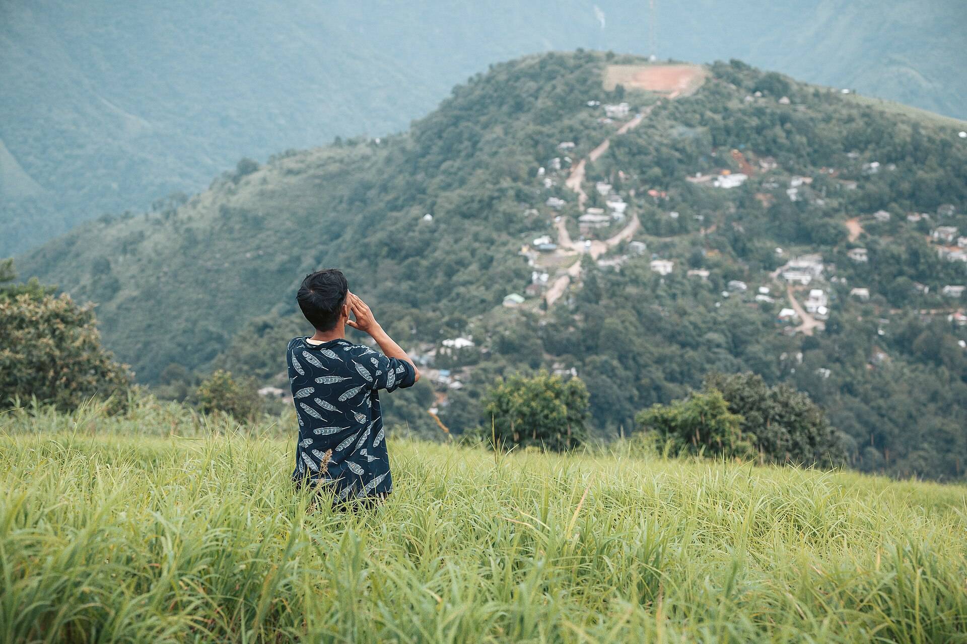
Mawlyngbna sits on the southern escarpment of the Khasi Hills, looking down towards the plains of Bangladesh. Most visitors come for three things: rock beds full of marine fossils, a small lake called Um Khakoi where you can kayak, and the Mawlyngbna crevice walk listed by Meghalaya Tourism. The village runs its own tourism through a cooperative, including the Traveller's Nest homestay.
Things to do in Mawlyngbna
- The fossil trail: shells and other marine fossils set into flat rock plates, a reminder that this was once under the sea.
- Um Khakoi lake: kayaking and swimming in a quiet lake surrounded by forest.
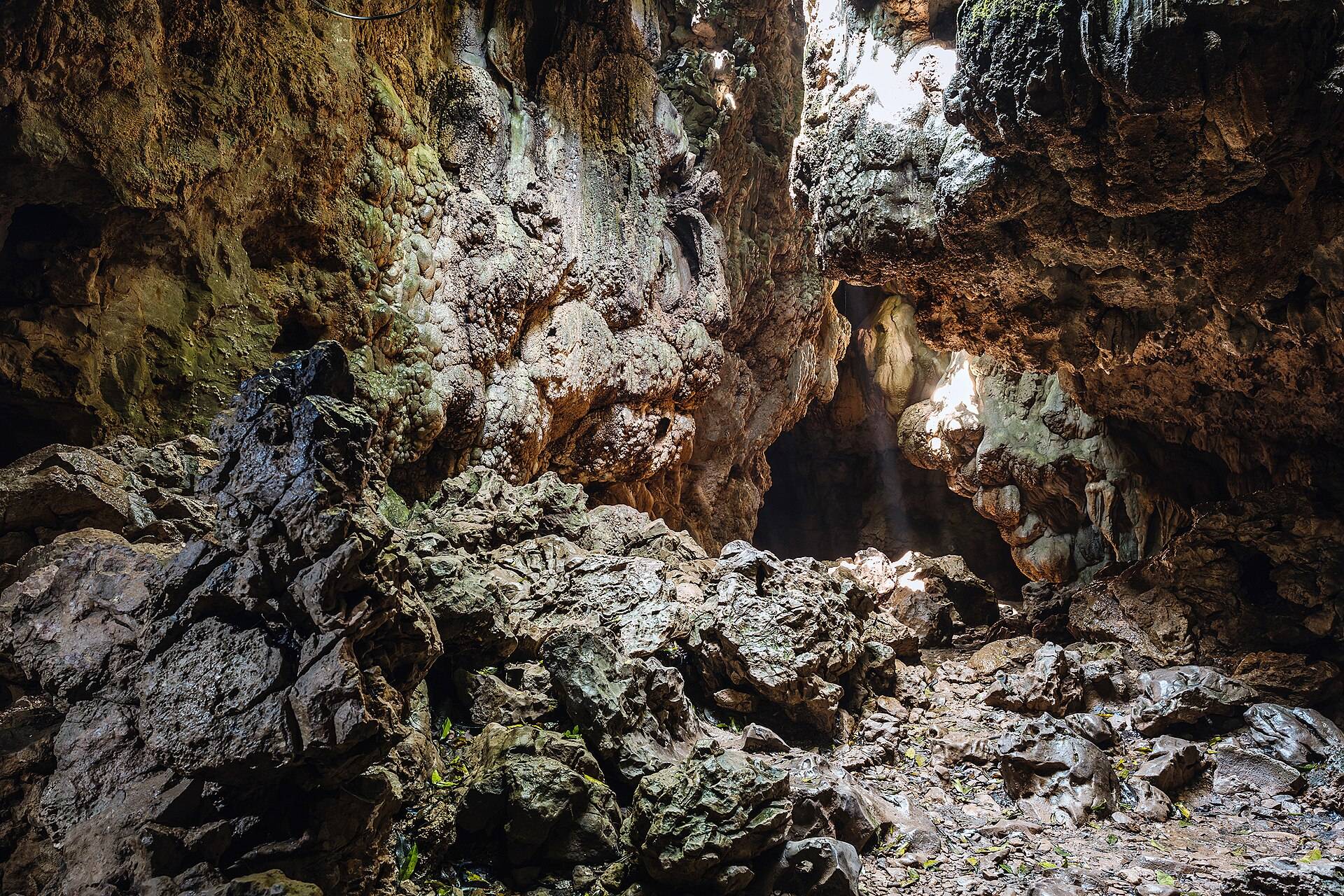
- The crevice walk: a guided walk through narrow rock fissures and over limestone.
- Caving and canyoning with village guides, for those with some experience.
- Viewpoints over the southern escarpment.
How to reach Mawlyngbna
Drive from Shillong towards Mawsynram, then on to Mawlyngbna. Meghalaya Tourism puts it at about 78 km from Shillong.
| From | Road distance | Usual drive time |
|---|---|---|
| Mawsynram | about 15 km | 30–45 min |
| Shillong | about 75 km | 2.5–3 hrs |
| Sohra (Cherrapunji) | about 100 km | 3–3.5 hrs |
Road distances from OpenStreetMap routing. Drive times are what we see on these mountain roads, not map estimates.
Weather
Mawlyngbna is next to Mawsynram, one of the wettest places on Earth. Our ten-year data shows over a metre of rain in July alone.
| Month | Avg high | Avg low | Rain |
|---|---|---|---|
| Jan | 18°C | 8°C | Dry |
| Feb | 20°C | 10°C | Dry |
| Mar | 24°C | 13°C | Light |
| Apr | 25°C | 17°C | Wet |
| May | 25°C | 19°C | Wet |
| Jun | 25°C | 20°C | Very wet |
| Jul | 26°C | 21°C | Very wet |
| Aug | 26°C | 21°C | Very wet |
| Sep | 26°C | 20°C | Wet |
| Oct | 25°C | 17°C | Light |
| Nov | 23°C | 13°C | Dry |
| Dec | 20°C | 10°C | Dry |
Monthly averages for 2015–2024 from ERA5 reanalysis via Open-Meteo, at the site's elevation (about 877 m). Rain and snow are rated relative to this location's own year.
Go between October and April. In the monsoon the trails are slippery and the fossils hidden under moss and water.
Where to stay
The Traveller's Nest homestay, run by the village cooperative, has a few cottages and organises the activities. Book ahead; it's small.
A sample plan
Arrive by lunch, walk the fossil trail in the afternoon, sunset from the escarpment. Next morning: Um Khakoi kayaking and the crevice walk, then back to Shillong.
Things most guides don't tell you
- It's not "Mawlynnong". People confuse Mawlyngbna with Mawlynnong, the clean village near Dawki. They're 80 km apart.
- Take a village guide for the crevice walk and caves. Both need local knowledge.
- Don't break off fossils. They belong to the village.
Nearby
- Mawsmai Cave and Seven Sisters Falls around Sohra.
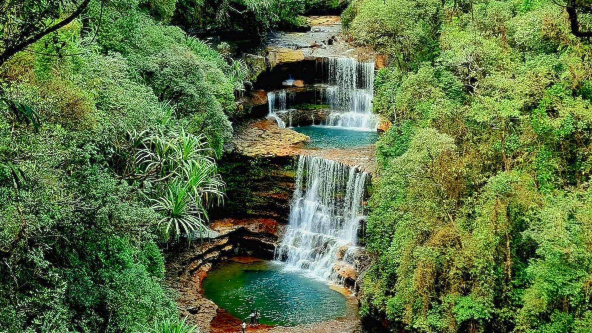
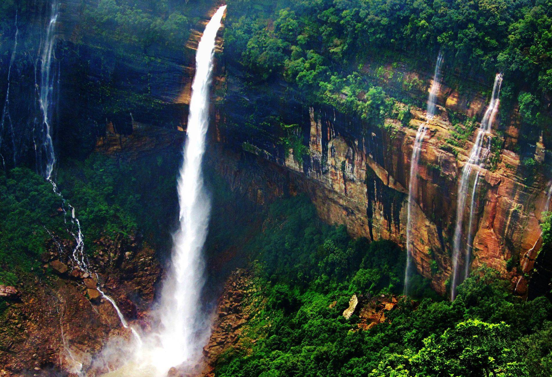
- Wei Sawdong Falls and Nohkalikai Falls.
Mawlyngbna: questions travellers ask
Where is Mawlyngbna?
Near Mawsynram on the southern edge of the East Khasi Hills, about 78 km from Shillong.
What is Mawlyngbna famous for?
Marine fossils in the rock, kayaking on Um Khakoi lake and the Mawlyngbna crevice walk.
Is Mawlyngbna the same as Mawlynnong?
No. Mawlynnong is the 'cleanest village' near Dawki; Mawlyngbna is near Mawsynram, about 80 km away.
Where can I stay in Mawlyngbna?
The Traveller's Nest homestay, run by the village cooperative.
What is the best time to visit Mawlyngbna?
October to April. The monsoon here is extremely wet.
Can I kayak at Mawlyngbna?
Yes, on Um Khakoi lake, arranged through the village.
Sources
- Meghalaya Tourism: Mawlyngbna crevice walk
- The Better India: Traveller's Nest, Mawlyngbna
- Sentinel Assam: a monsoon sojourn in East Khasi Hills
- Outlook Traveller: 5 offbeat places in Meghalaya
Timings and fees change. Check on the day, or ask us when you book.