- Where
- Laitkor, about 10 km from Police Bazar, inside an Indian Air Force area
- Altitude
- About 1,965 m (6,450 ft)
- Distance
- About 10–11 km from Police Bazar
- Timings
- About 9am–3:30pm reported; some sources say closed Wednesdays
- Entry fee
- About ₹30–50 reported, plus parking
- Permit
- Photo ID checked at the gate; foreigners reportedly not allowed
- Best time
- October–March, mornings
- Time needed
- 1 hour
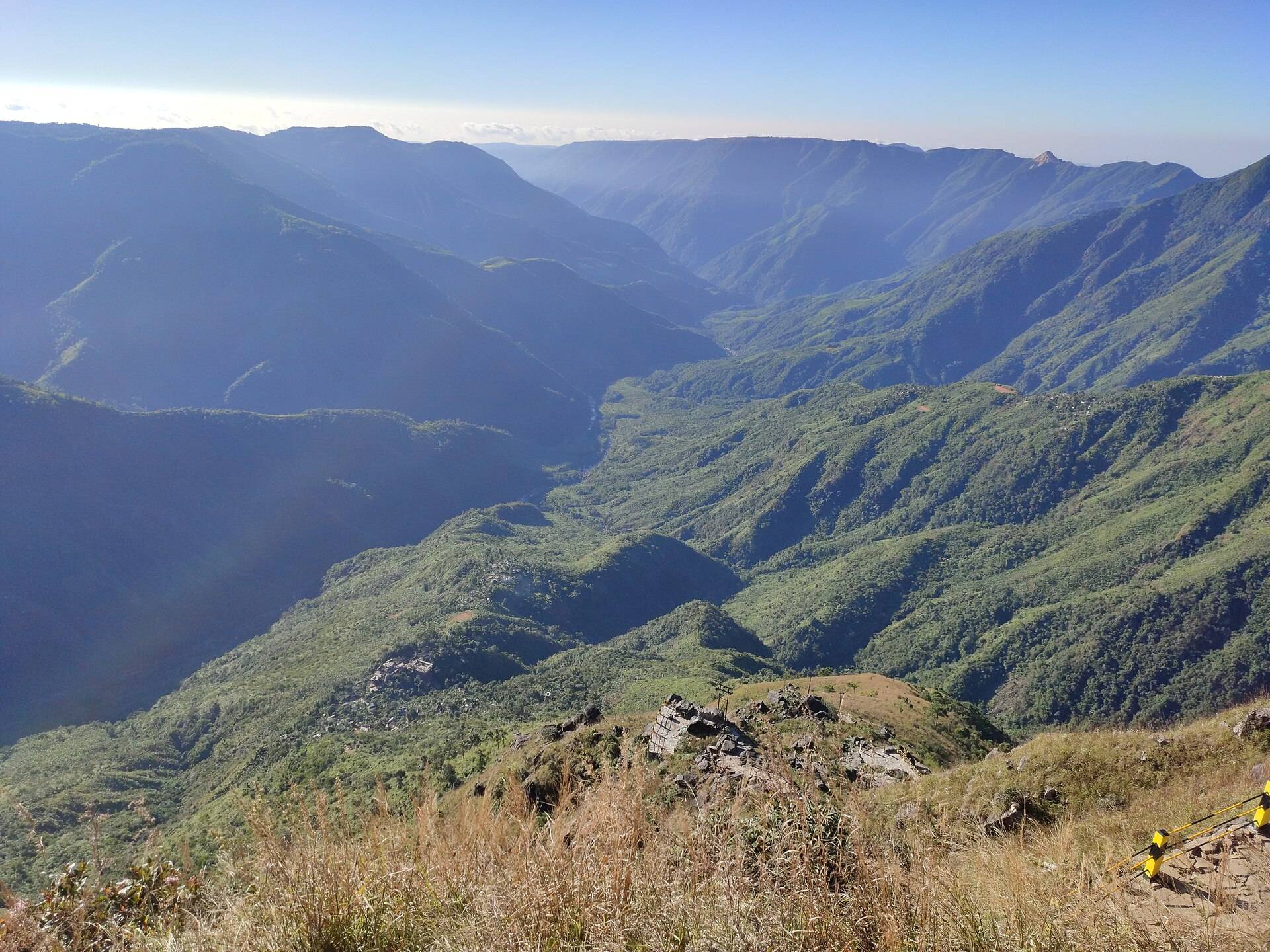
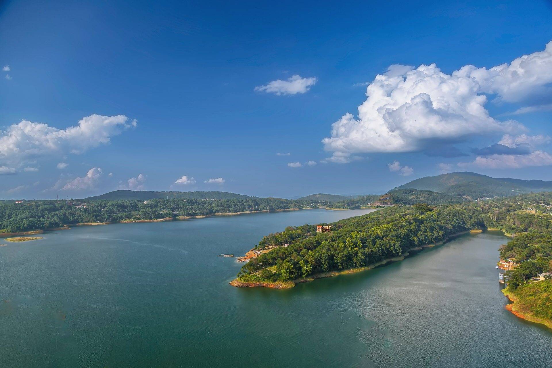
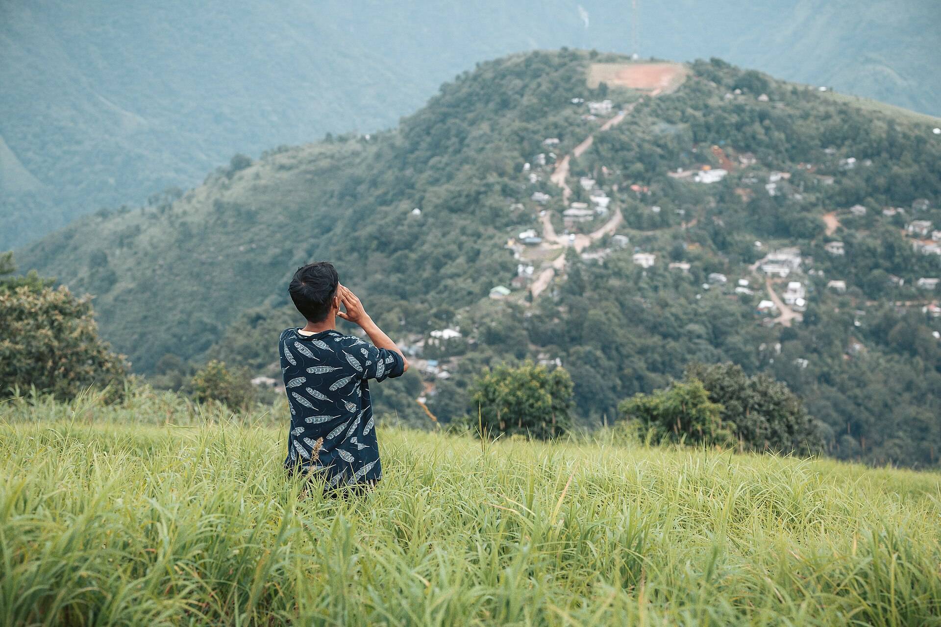
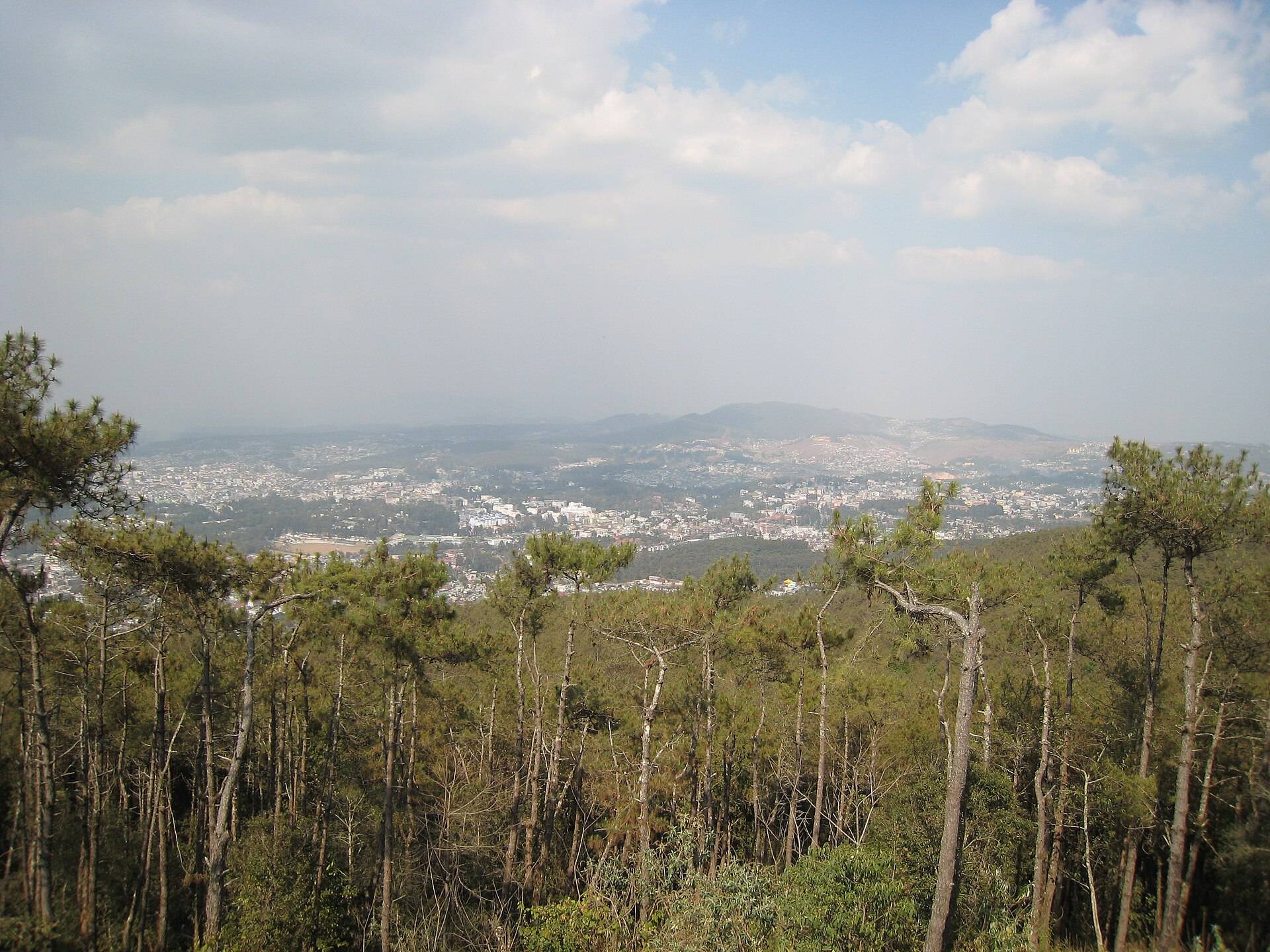
Shillong Peak is the high point on the ridge south of the city, near Laitkor, at around 1,965 m. From the viewpoint you look down over the whole of Shillong, Umiam Lake in the distance on a clear day, and the hills rolling north towards Assam. It sits inside an Indian Air Force area, which is why there's a gate, an ID check and a few rules.
What to expect at the gate
- Photo ID is checked for every visitor. Carry your original.
- Foreigners are reported not to be allowed, as it's a defence area.
- Cameras: some visitors report being asked to deposit cameras; phones are usually fine at the viewpoint. Follow what the guards say.
- Timings: reported as about 9am to 3:30pm. Some sources say it's closed on Wednesdays. Confirm the day before.
What you'll see
- The city view from the viewpoint.
- Telescopes for hire (a few rupees per minute).
- Stalls selling tea, snacks and Khasi costume photos.
How to reach
It's a short drive from Police Bazar towards Upper Shillong and Laitkor. Cabs and taxis go up; there's no public bus to the gate.
| From | Road distance | Usual drive time |
|---|---|---|
| Shillong | about 10–11 km | 25–35 min |
| Guwahati Airport | about 130 km | 3–3.5 hrs |
Road distances from OpenStreetMap routing. Drive times are what we see on these mountain roads, not map estimates.
Weather
At about 1,900 m, it's a few degrees colder than the city and often in cloud from June to September.
| Month | Avg high | Avg low | Rain |
|---|---|---|---|
| Jan | 13°C | 3°C | Dry |
| Feb | 15°C | 5°C | Dry |
| Mar | 18°C | 8°C | Light |
| Apr | 20°C | 12°C | Wet |
| May | 20°C | 14°C | Wet |
| Jun | 21°C | 16°C | Very wet |
| Jul | 21°C | 16°C | Very wet |
| Aug | 21°C | 16°C | Very wet |
| Sep | 21°C | 15°C | Wet |
| Oct | 19°C | 12°C | Wet |
| Nov | 17°C | 8°C | Dry |
| Dec | 14°C | 5°C | Dry |
Monthly averages for 2015–2024 from ERA5 reanalysis via Open-Meteo, at the site's elevation (about 1914 m). Rain and snow are rated relative to this location's own year.
Things most guides don't tell you
- Go in the morning. Afternoon haze and cloud often hide the view.
- Monsoon visits are a gamble: you might see nothing at all.
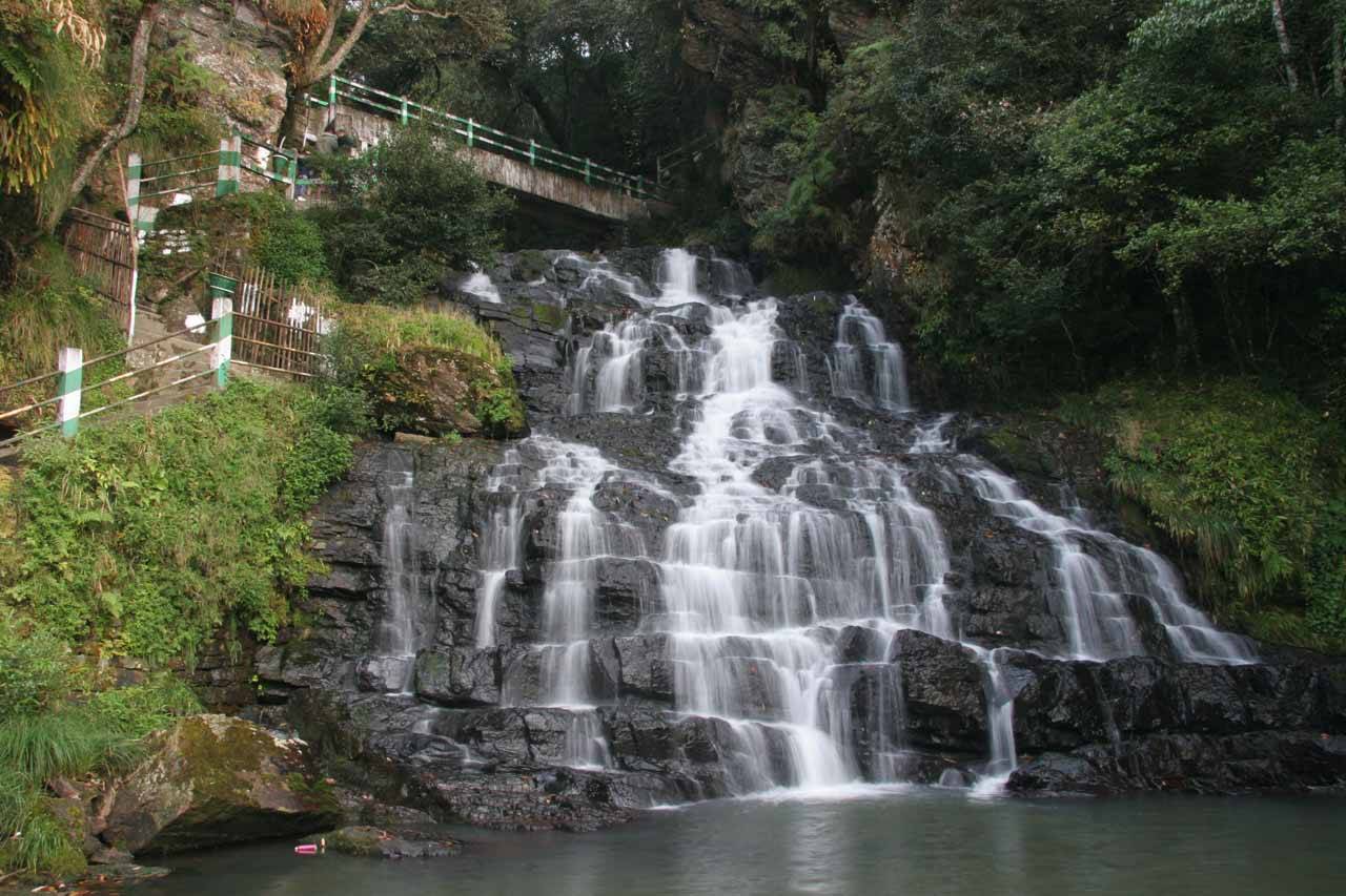
- Combine it with Elephant Falls, which is on the same road.
Nearby
- Elephant Falls, on the same road.
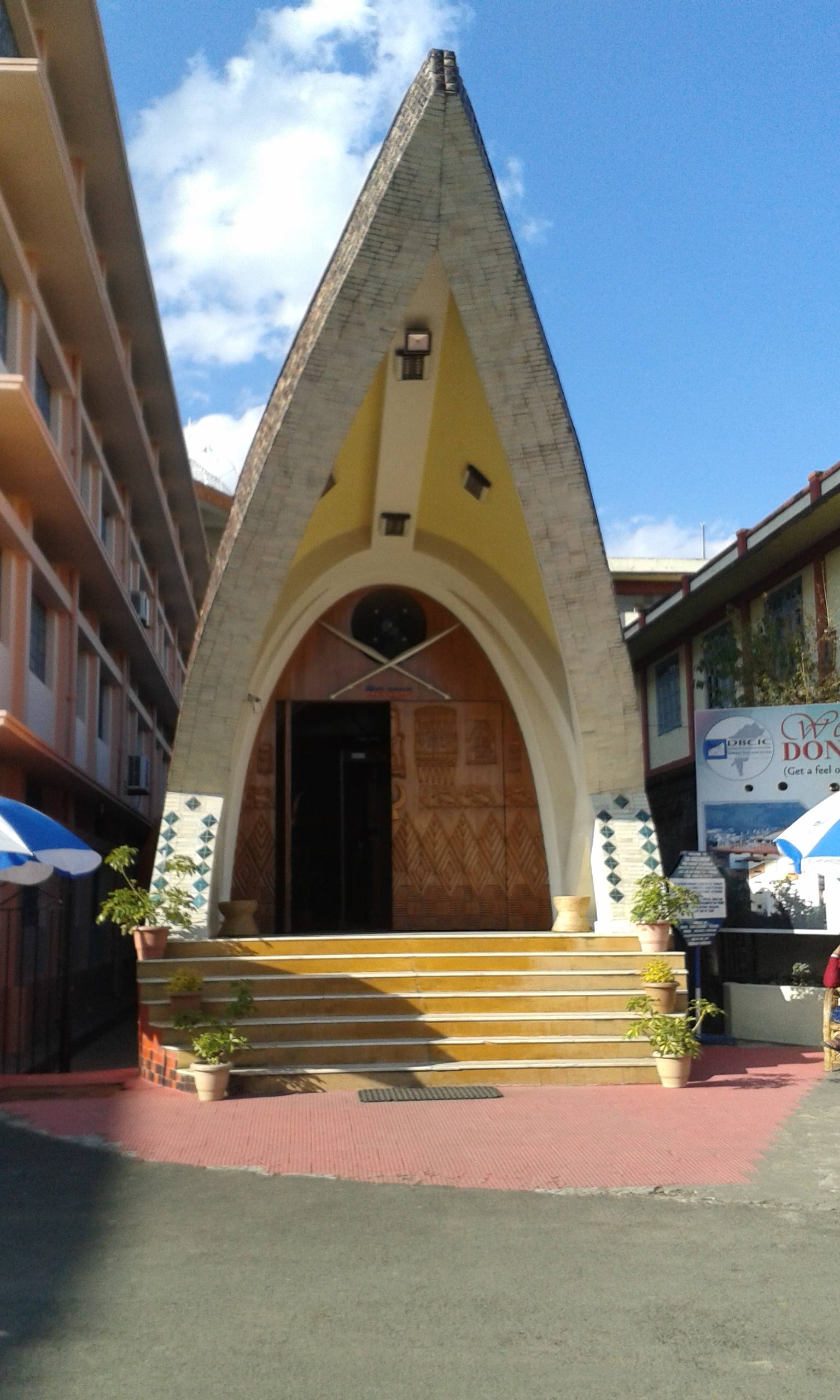
- Don Bosco Museum, in town.
- Laitlum Canyons and Mawkdok Dympep Valley.
Shillong Peak: questions travellers ask
How high is Shillong Peak?
About 1,965 m (6,450 ft), the highest point around Shillong.
What are Shillong Peak timings?
Reported as about 9am to 3:30pm. Some sources say it is closed on Wednesdays.
What is the entry fee for Shillong Peak?
About ₹30–50 per person is reported, plus parking.
Do I need ID for Shillong Peak?
Yes. It's inside an Indian Air Force area and IDs are checked.
Can foreigners visit Shillong Peak?
Several sources say foreigners are not allowed because it is a defence area.
How far is Shillong Peak from Police Bazar?
About 10–11 km, around 30 minutes by car.
Sources
Timings and fees change. Check on the day, or ask us when you book.