- Where
- Above Kigwema, about 15 km south of Kohima
- Altitude
- About 3,048 m
- Distance
- About 15 km from Kohima to Kigwema; summit hike of several hours
- Timings
- Start before dawn for sunrise, or early morning for a day hike
- Entry fee
- Small village or guide fee may apply
- Permit
- Nagaland Inner Line Permit for Indian travellers
- Best time
- October–March for clear views
- Time needed
- 6–8 hours round trip
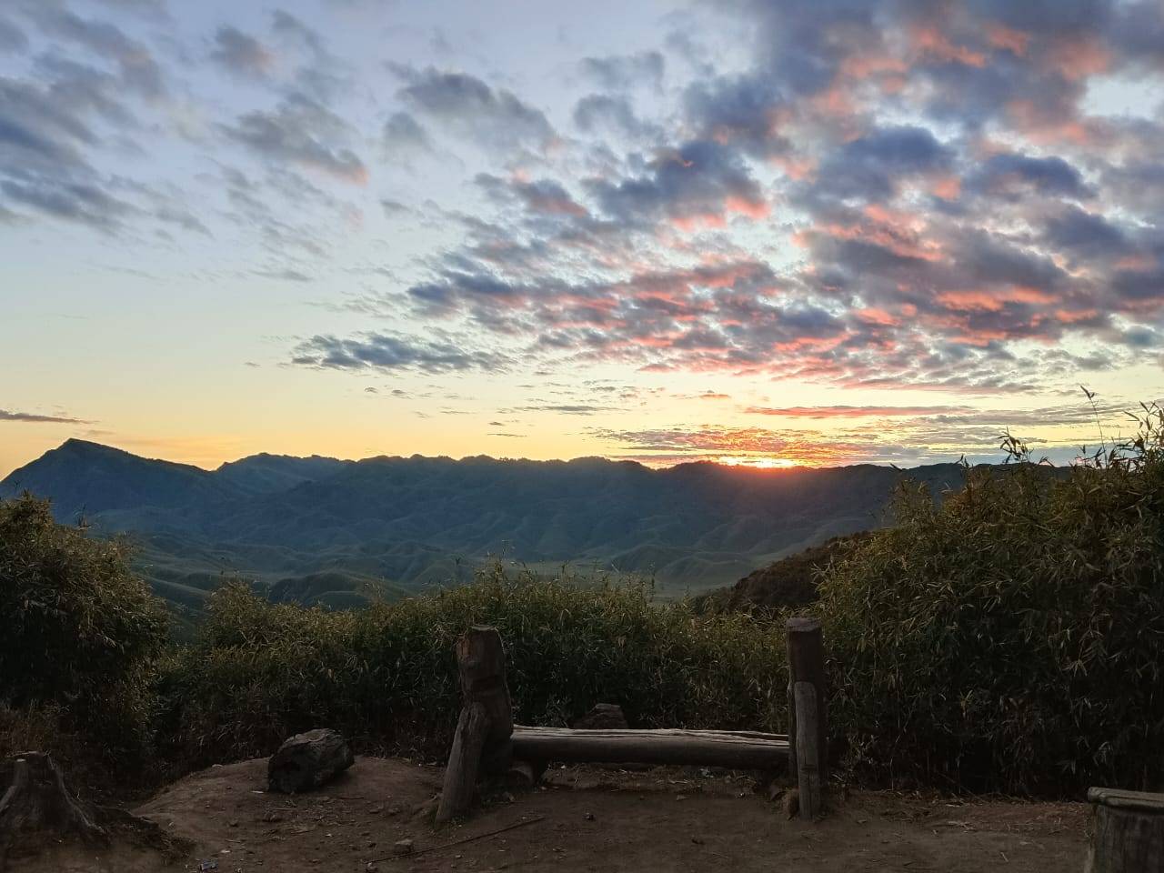
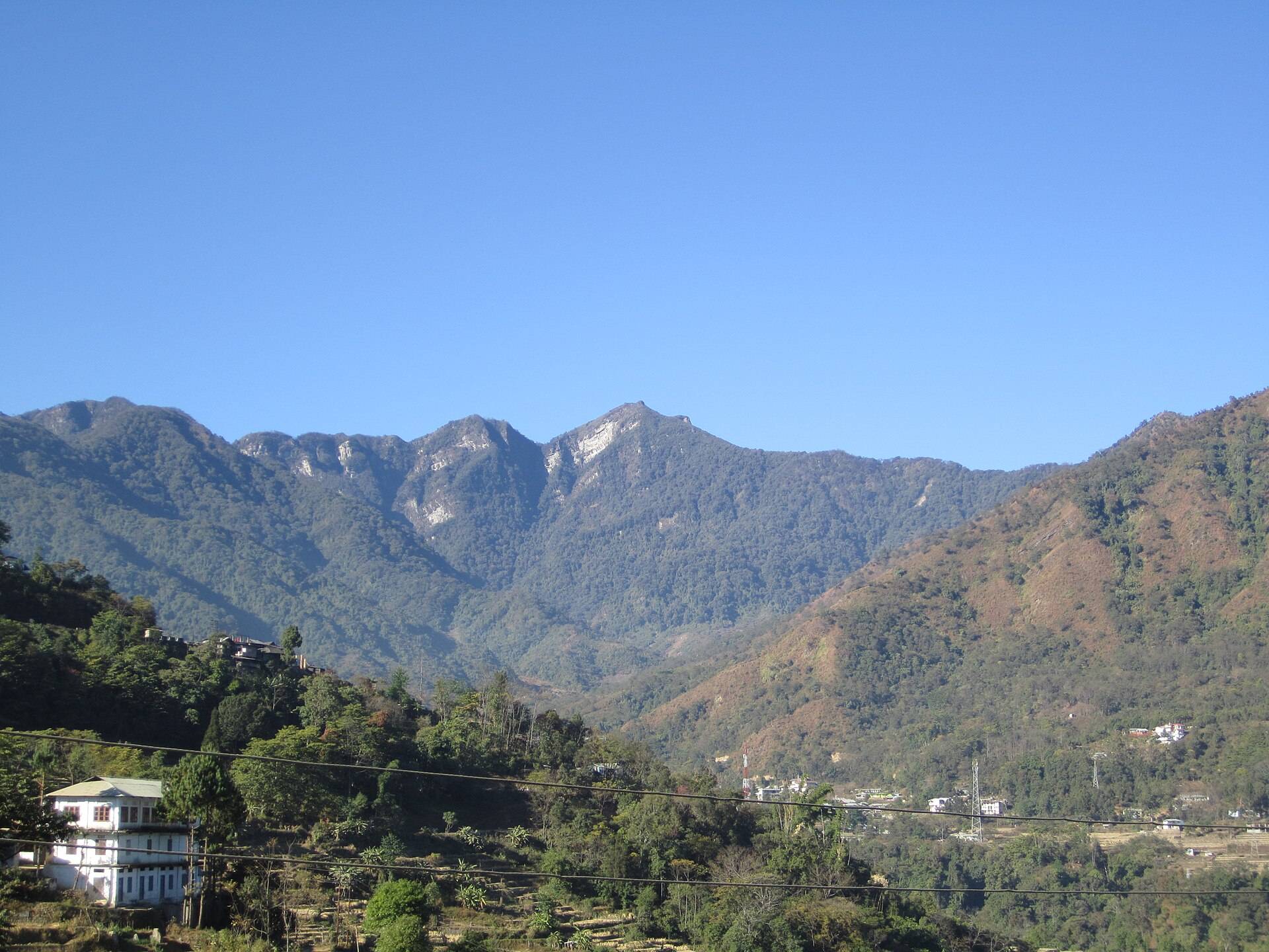
Japfü rises to about 3,048 m, making it the second-highest peak in Nagaland. The forested slopes are home to giant rhododendron trees, and from the top you look over the Dzükou hills and Kohima, with the Himalaya visible on the clearest winter mornings.
The hike
The usual route starts near Kigwema and climbs steeply through forest to the summit, taking several hours up. Many hikers start in the dark to reach the top for sunrise. Take a local guide, carry water and warm layers, and avoid the trail after heavy rain.
How to reach
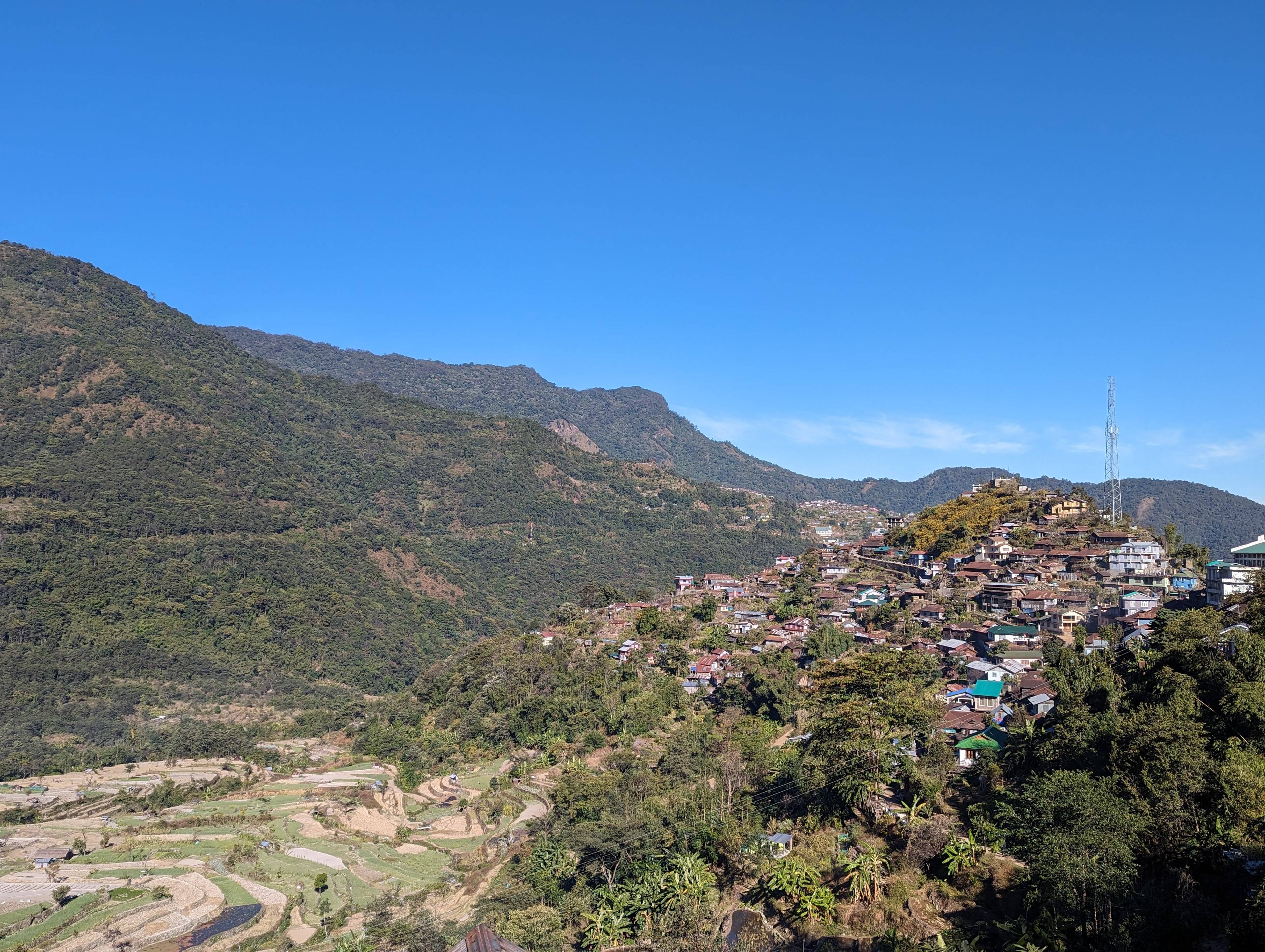
Kigwema is about 15 km south of Kohima on the road towards Imphal, close to Kisama Heritage Village where the Hornbill Festival is held. Indian travellers need a Nagaland Inner Line Permit.
Japfü Peak: questions travellers ask
How high is Japfü Peak?
About 3,048 m (10,000 ft), Nagaland's second-highest peak.
How long is the Japfü trek?
Usually 6–8 hours round trip from near Kigwema, with a steep climb.
When is the best time to climb Japfü?
October to March, for dry trails and clear views.
Do I need a guide?
A local guide is recommended; the trail is steep and not always well marked.
Sources
Timings and fees change. Check on the day, or ask us when you book.