- Where
- On the Tawang–Bum La road
- Altitude
- About 3,700–3,900 m (about 12,000–12,800 ft)
- Distance
- About 16–18 km from Tawang
- Timings
- Morning, as part of the Bum La day
- Entry fee
- Free
- Permit
- Arunachal ILP; Bum La road permit from the Tawang DC office and army
- Best time
- March–May and October–November; frozen December–February
- Time needed
- 20–30 minutes
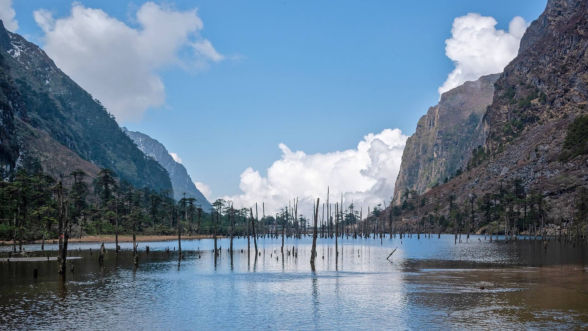
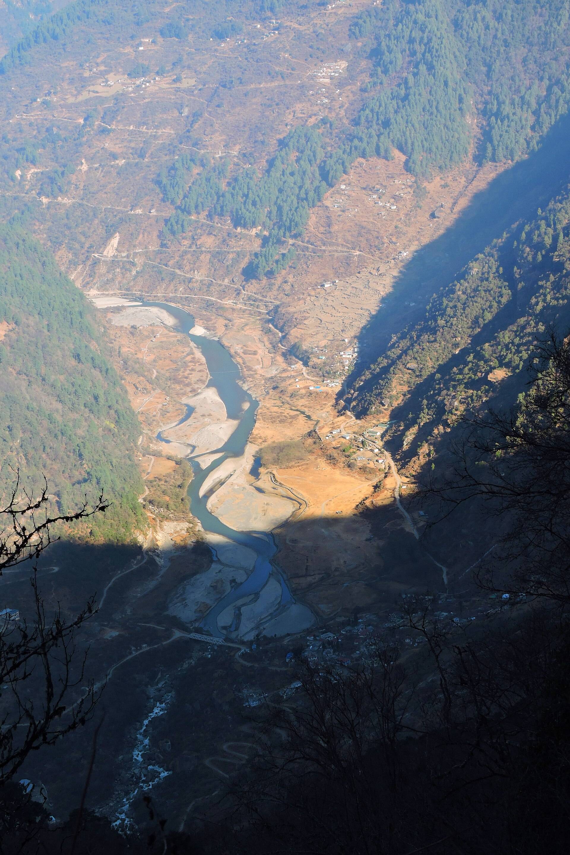
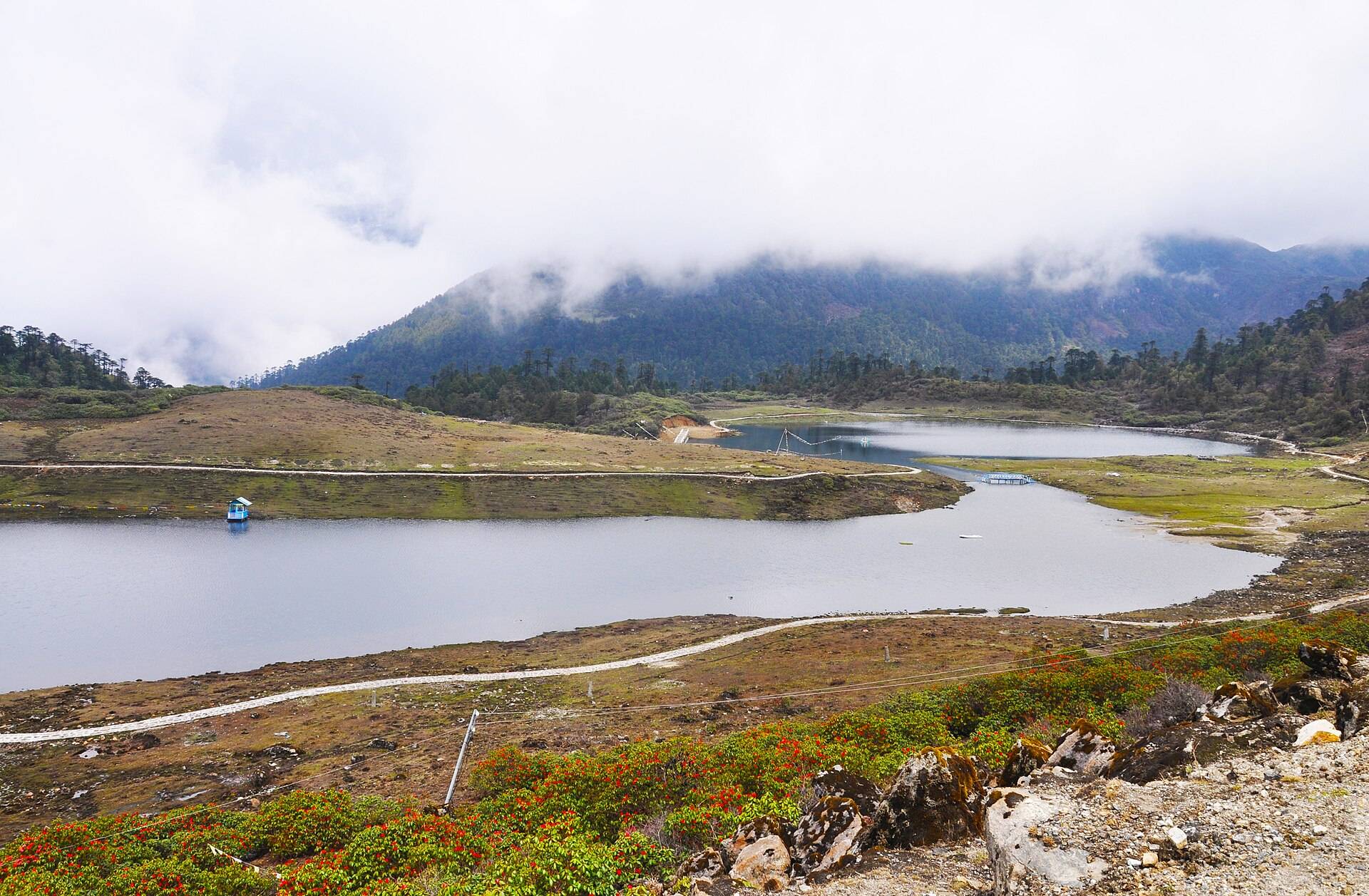
PT Tso is the short name for Pankang Teng Tso, a lake in a bowl of rock and rhododendron on the high road from Tawang towards Bum La. It's the first real stop on the Bum La day, and on a clear morning the water reflects the peaks around it. In winter it freezes white.
What you'll see
- The lake, with a short path along the shore.
- Rhododendrons around the shore in April and May.
- Snow on the slopes from about December to April.
How to reach PT Tso
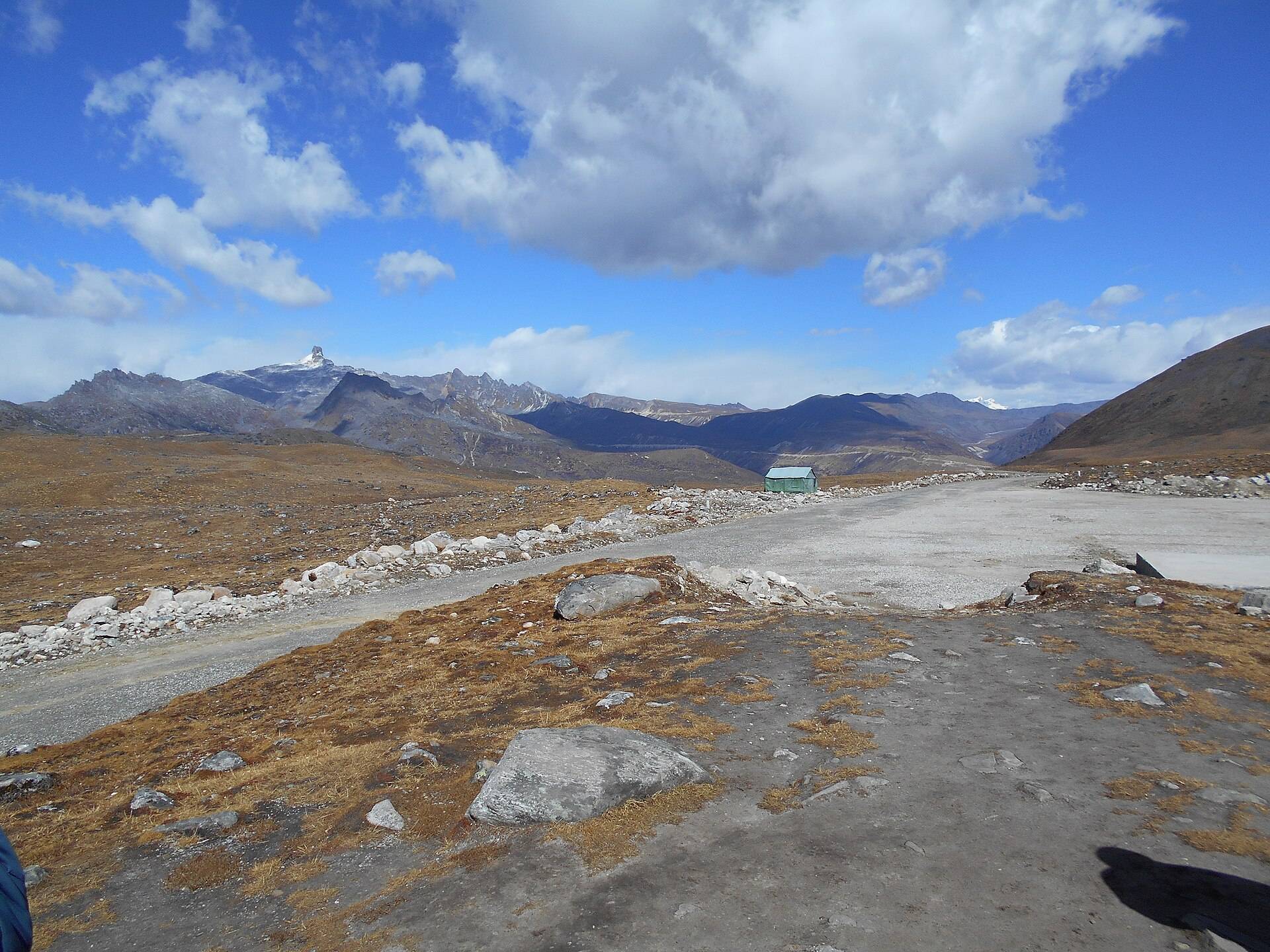
PT Tso is about 16 km from Tawang on the road to Bum La. You need the Bum La road permit, issued through the Tawang DC office and stamped by the army, to drive this road even if you're only going as far as the lake. Most people visit it with Sangetsar (Madhuri) Lake and Bum La on the same day.
| From | Road distance | Usual drive time |
|---|---|---|
| Tawang town | about 16–18 km | 45 min–1 hr |
Road distances from OpenStreetMap routing. Drive times are what we see on these mountain roads, not map estimates.
Weather and snow
Our ten-year data for the lake shows heavy snowfall from February to April, with March the snowiest month.
| Month | Avg high | Avg low | Rain | Snow |
|---|---|---|---|---|
| Jan | -2°C | -14°C | Light | Heavy |
| Feb | -1°C | -11°C | Wet | Heavy |
| Mar | 2°C | -7°C | Wet | Heavy |
| Apr | 5°C | -3°C | Wet | Heavy |
| May | 7°C | -1°C | Wet | Some |
| Jun | 12°C | 3°C | Very wet | Light |
| Jul | 13°C | 6°C | Very wet | – |
| Aug | 13°C | 5°C | Very wet | Light |
| Sep | 12°C | 4°C | Wet | Light |
| Oct | 8°C | -1°C | Wet | Some |
| Nov | 4°C | -7°C | Light | Some |
| Dec | 1°C | -10°C | Light | Some |
Monthly averages for 2015–2024 from ERA5 reanalysis via Open-Meteo, at the site's elevation (about 3905 m). Rain and snow are rated relative to this location's own year.
A sample day
Leave Tawang by 6:30am with your permit, stop at PT Tso on the way up, continue to Bum La for the army-guided visit, and stop at Sangetsar on the way back. You're back in Tawang by early afternoon.
Things most guides don't tell you
- PT Tso, not "PTSO" or "Pangateng". You'll see all three spellings; they're the same lake.
- Altitude estimates vary from about 12,000 ft to over 15,000 ft between sources. It's high either way: walk slowly.
- Ice is not safe. Don't walk on the frozen lake, however solid it looks.
Nearby
- Sangetsar (Madhuri) Lake, further along.
- Bum La Pass, the border pass.
- Tawang Monastery and Tawang War Memorial in town.
PT Tso Lake (Pankang Teng Tso): questions travellers ask
What does PT Tso stand for?
Pankang Teng Tso, the lake's Monpa name.
How far is PT Tso from Tawang?
About 16–18 km on the Bum La road, under an hour by car.
Do I need a permit for PT Tso Lake?
Yes. Besides the ILP, you need the Bum La road permit from the Tawang DC office and the army, even to stop at the lake.
Does PT Tso freeze?
Usually from about December to February or March.
What is the altitude of PT Tso?
Most sources put it at about 12,000 ft, though some give higher figures.
Can I visit PT Tso and Sangetsar Lake on the same day?
Yes. Both are on the Bum La road and most people see them on the same trip.
Sources
- Native Planet: Pangang Teng Tso Lake
- Tawang district: tourist places
- Muddie Trails: Tso lakes of Arunachal Pradesh
- Arunachal Pradesh e-ILP portal
Timings and fees change. Check on the day, or ask us when you book.