- Where
- Yangtse area, north-east Tawang district, near the Line of Actual Control
- Altitude
- About 3,500 m (11,500 ft)
- Distance
- About 90–100 km from Tawang
- Timings
- Day visit, by army clearance
- Entry fee
- Free
- Permit
- Arunachal Inner Line Permit for Indians, Protected Area Permit for foreigners; army checks on border roads; prior army permission needed
- Best time
- May–October (road closed by snow in winter)
- Time needed
- Full day from Tawang
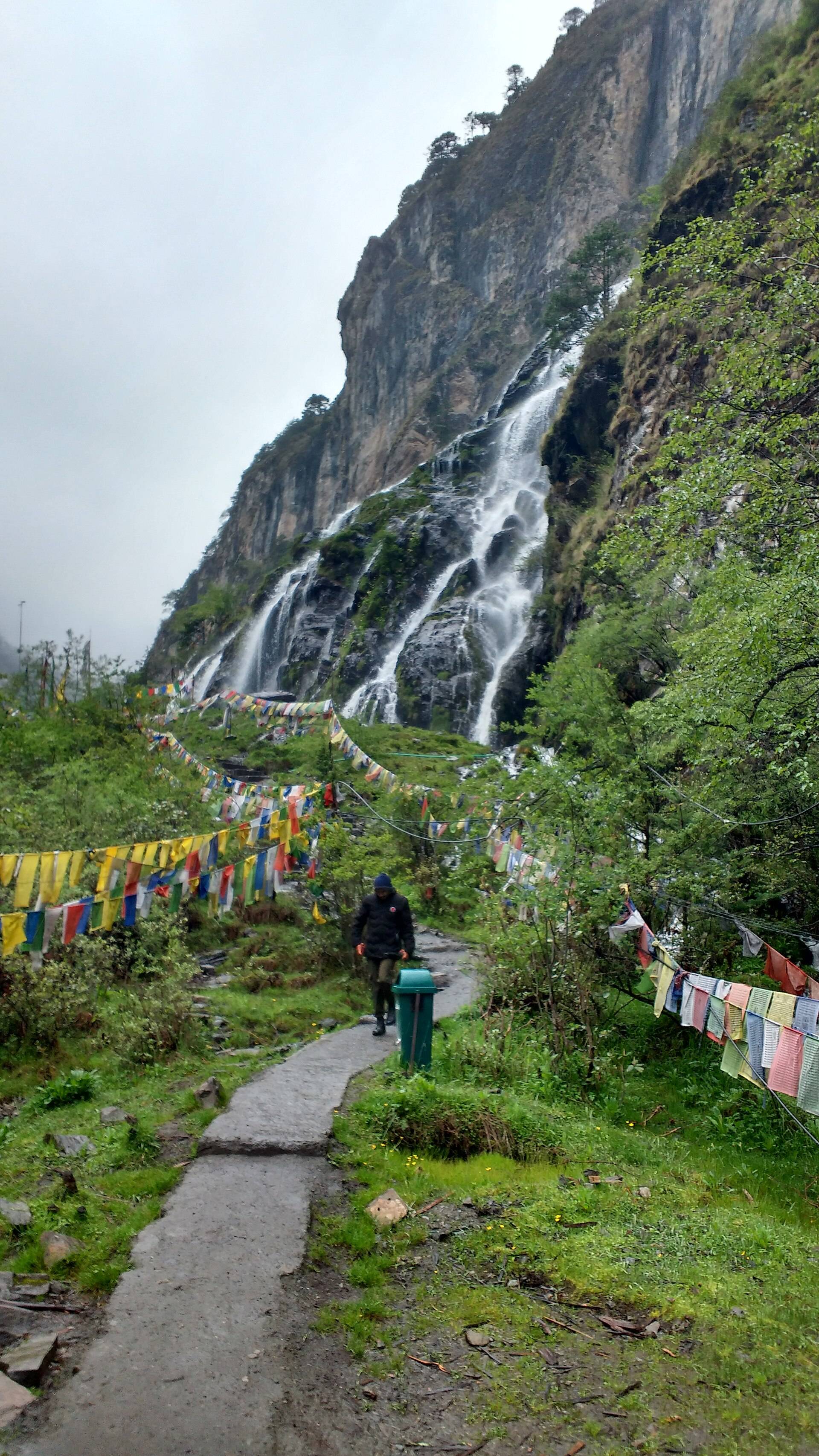
Chumi Gyatse means roughly "108 springs". It's a long cliff in the Yangtse area of Tawang district down which dozens of streams fall side by side, traditionally counted as 108, the number of beads on a Buddhist rosary. The site is a few hundred metres from the Line of Actual Control, and since it opened to visitors it has become one of the most talked-about drives in Tawang.
The legend
Local Buddhist tradition holds that the falls are a blessing of Guru Padmasambhava (Guru Rinpoche), who meditated in the Domtsang region for five days. In one telling he threw his rosary against the cliff and each bead became a spring; in another he struck the rock with his staff. Domtsang was one of the three most sacred sites of eastern Tawang, though no monastery survives there today.
What you'll see
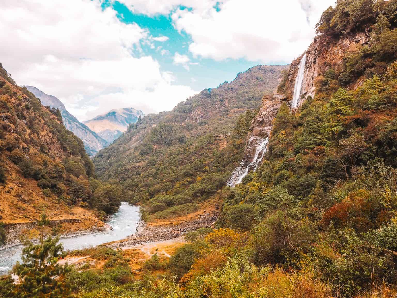
- The falls: a wide curtain of white streams down a dark cliff, at their fullest after the monsoon.
- A short paved trail of about 1.5 km lined with prayer flags and small shrines.
- Small shrines and prayer flags along the path and at the base.
How to reach Chumi Gyatse
The falls are reached from Tawang by the road over the high ridge towards Bum La and then down into the Yangtse valley, or by a longer route via Jang. Distances in travel guides range from about 88 km to 130 km depending on the route. Allow about four hours each way plus the walk.
| From | Road distance | Usual drive time |
|---|---|---|
| Tawang town | about 90–100 km | 4–4.5 hrs |
| Jang | longer route via Khirmu, about 130 km | 5+ hrs |
Routing services can't map this border road; distances are from travel guides and trip reports.
Permits
- ILP or PAP for Tawang district.
- Army permission. The Arunachal Times reports that visitors need prior permission from the military. We apply for it through the Tawang administration before the day for our guests; don't expect to sort it out at the checkpoint.
Weather
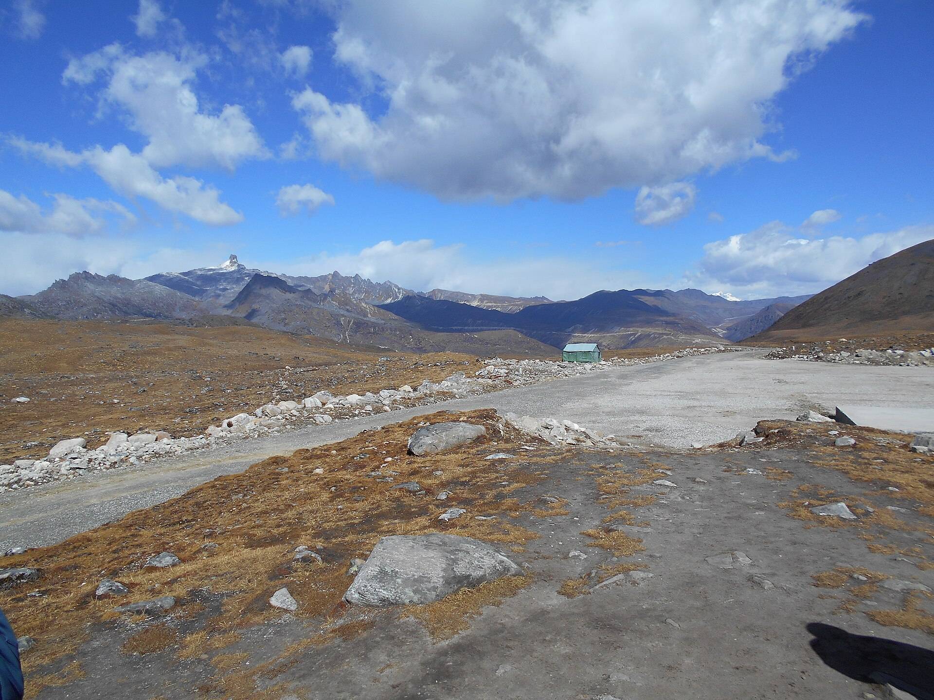
At about 3,500 m, the approach road crosses a ridge near 15,000 ft. Our ten-year data for the falls shows snow from about January to March.
| Month | Avg high | Avg low | Rain | Snow |
|---|---|---|---|---|
| Jan | 1°C | -11°C | Dry | Some |
| Feb | 1°C | -9°C | Light | Heavy |
| Mar | 4°C | -5°C | Wet | Heavy |
| Apr | 7°C | -1°C | Wet | Light |
| May | 10°C | 2°C | Wet | – |
| Jun | 14°C | 6°C | Very wet | – |
| Jul | 15°C | 8°C | Very wet | – |
| Aug | 15°C | 8°C | Very wet | – |
| Sep | 14°C | 6°C | Wet | – |
| Oct | 10°C | 2°C | Light | – |
| Nov | 7°C | -3°C | Dry | Light |
| Dec | 4°C | -6°C | Dry | Light |
Monthly averages for 2015–2024 from ERA5 reanalysis via Open-Meteo, at the site's elevation (about 3606 m). Rain and snow are rated relative to this location's own year.
The Tawang–Damteng road stays closed in winter because of heavy snow. Plan for May to October.
Where to stay
There are no stays at the falls. Visit as a day trip from Tawang, starting before 6am.
What to carry
Warm layers for the ridge crossing, a rain jacket for the spray, water and snacks, printed permits and original ID.
Things most guides don't tell you
- It's a sacred site, not a picnic spot. Walk quietly, don't climb into the streams, and don't throw coins.
- Photography of army posts on the way is not allowed. Keep your camera down at checkpoints.
- The ridge crossing is the hard part: cold, high and exposed. Altitude rules apply.
- Don't confuse it with Nuranang (Jang) Falls or Bap Teng Kang; locals sometimes call all of them "holy waterfalls".
Nearby
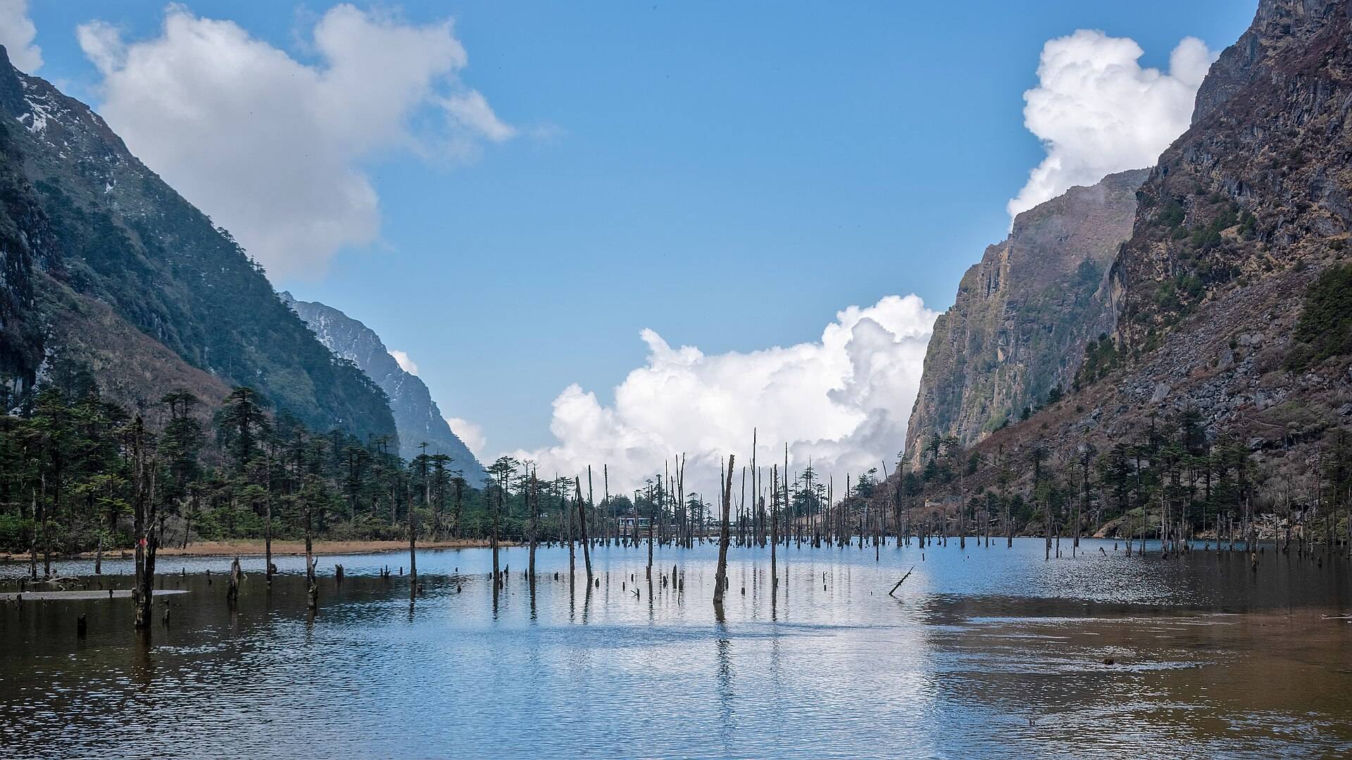
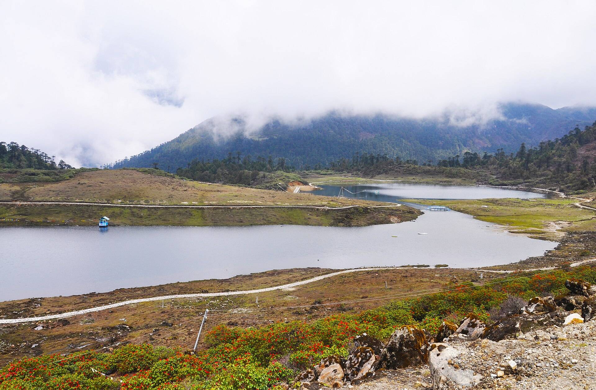
- Sangetsar (Madhuri) Lake and PT Tso Lake on the high road.
- Bum La Pass, another army-permit day from Tawang.
- Tawang Monastery.
Chumi Gyatse Falls (Holy Waterfalls): questions travellers ask
What is Chumi Gyatse?
A cliff of waterfalls in the Yangtse area of Tawang district, traditionally counted as 108 streams and considered sacred to Guru Padmasambhava.
Is the holy waterfall in Tawang the same as Chumi Gyatse?
Yes. 'Holy waterfall' or '108 holy waterfalls' usually means Chumi Gyatse.
Do I need a permit for Chumi Gyatse?
Yes. Besides the Arunachal ILP or PAP, you need prior army permission, arranged through the Tawang administration before the day.
How far is Chumi Gyatse from Tawang?
About 90–100 km by the usual route, around four hours each way.
When is Chumi Gyatse open?
Usually May to October. Snow closes the road in winter.
How long is the walk to the falls?
About 1.5 km each way on an easy, paved trail.
How close is Chumi Gyatse to the China border?
Very close; one account puts the falls about 250 m from the Line of Actual Control.
Sources
- Wikipedia: Chumi Gyatse Falls
- Arunachal Times: Chhumi Gyatse, the holy waterfall near LAC
- Borderlens: Legend of the Chumi Gyatse
- Team-BHP: Off-beat Tawang road trip
- Arunachal Pradesh e-ILP portal
Timings and fees change. Check on the day, or ask us when you book.