Arunachal Pradesh Altitude Chart: Tawang, Sela Pass, Bum La, Mago and More
How high are Tawang, Sela Pass, Bum La, Madhuri Lake, Mago, Dirang, Ziro and Mechuka? One altitude table in metres and feet, plus how to avoid altitude sickness.
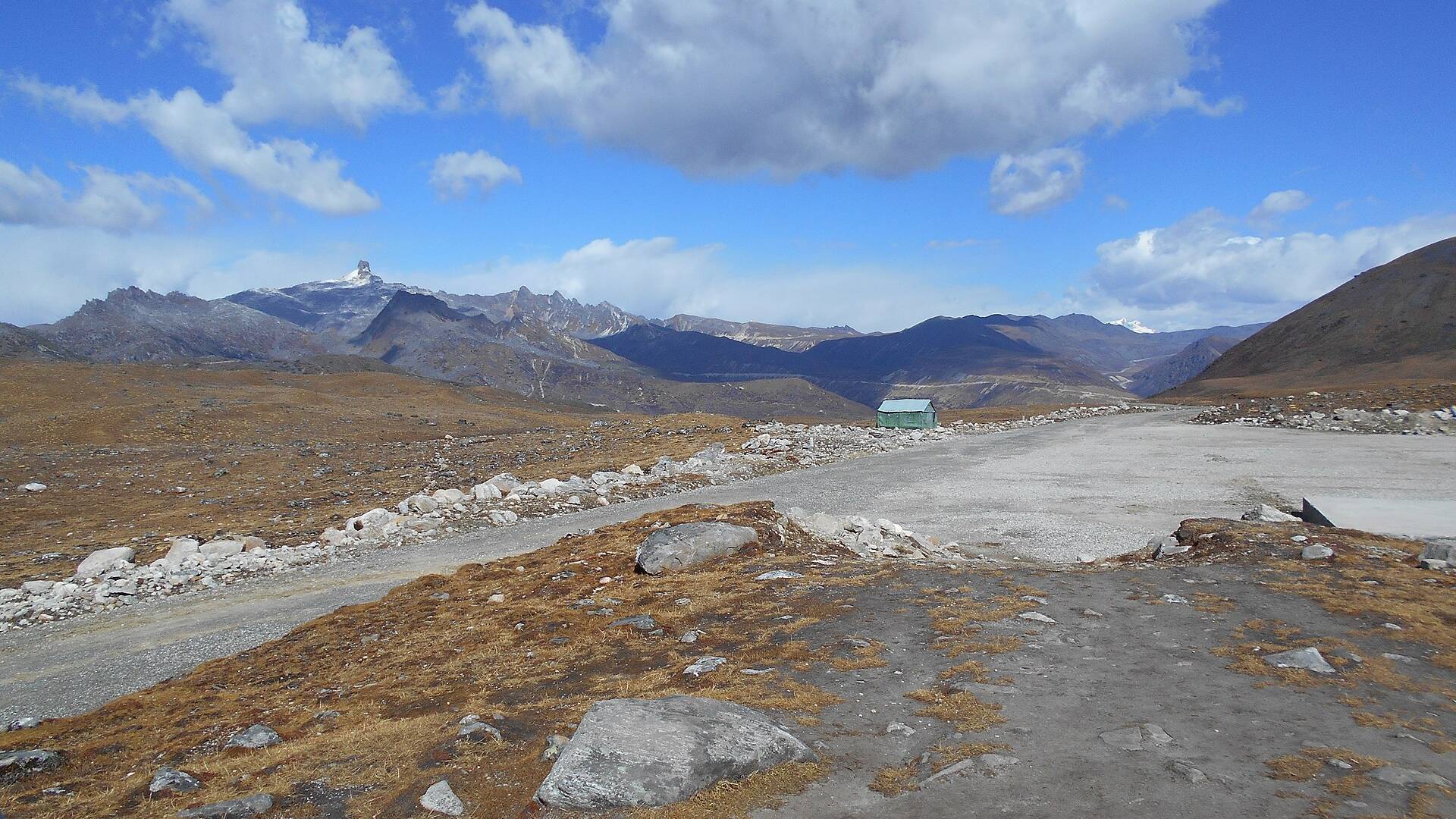
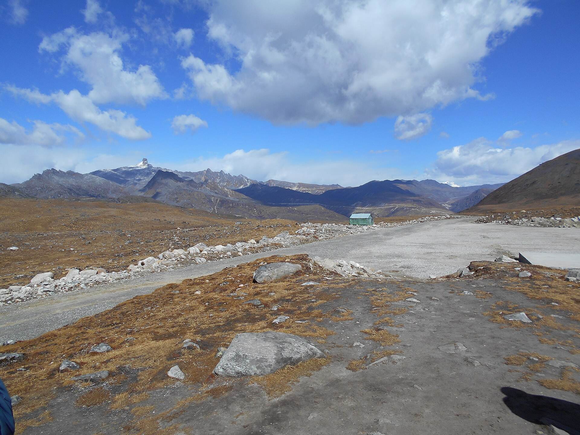
Arunachal Pradesh climbs from the Assam plains at under 200 m to border passes above 4,500 m (15,000 ft) in a day or two of driving. On the Tawang circuit you go from Bhalukpong (about 200 m) to Sela Pass (4,170 m / 13,700 ft), sleep in Tawang (about 3,050 m / 10,000 ft) and can visit Bum La (about 4,600 m / 15,200 ft) the next day. That speed is why altitude sickness catches out so many visitors.
Below is one table with the heights of the places you're most likely to visit, followed by what those numbers mean for your plan.
Altitude chart
| Place | Altitude (m) | Altitude (ft) | Notes |
|---|---|---|---|
| Guwahati | about 55 | about 180 | Starting point |
| Bhalukpong | about 200 | about 700 | Entry to Arunachal, ILP check |
| Dirang | about 1,500 | about 4,900 | Best night halt going up |
| Bomdila | about 2,400 | about 8,000 | Higher than Dirang |
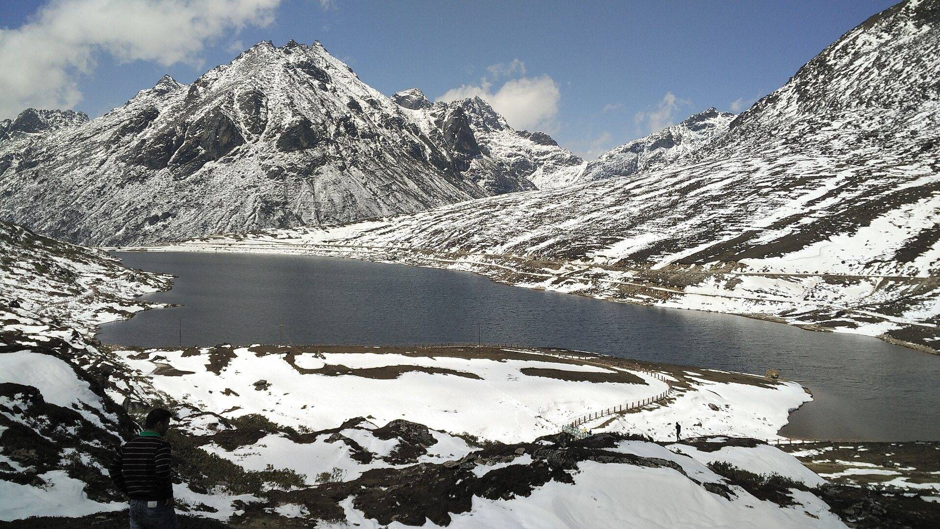
| Sela Pass | 4,170 | 13,700 | Highest point on the Tawang road |
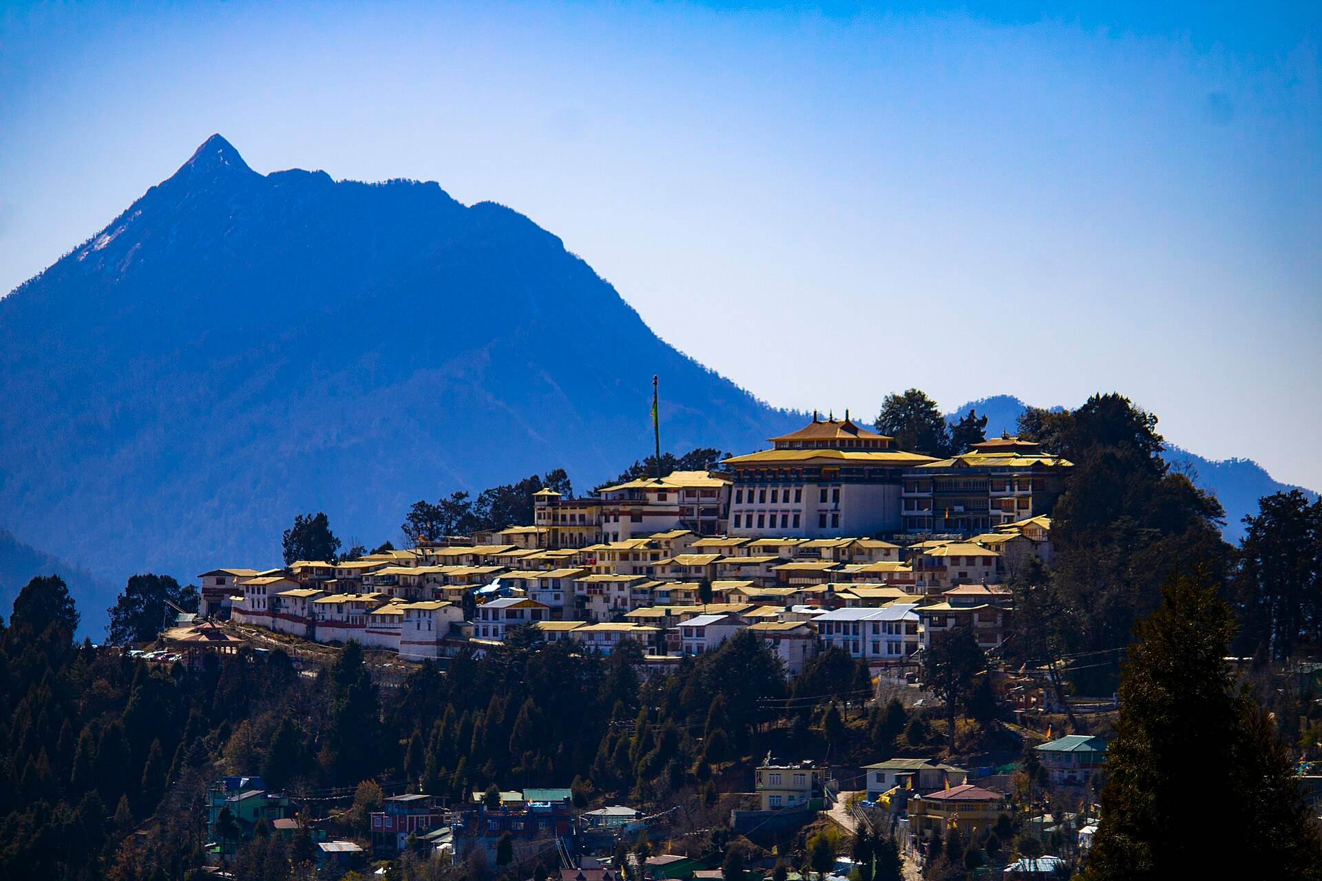
| Tawang | about 3,050 | about 10,000 | Sleep here for at least two nights |
| Madhuri (Sangetsar) Lake | about 3,710 | about 12,165 | On the Bum La road |
| Bum La Pass | about 4,600 | about 15,200 | India–China border. Day trip only |
| Thingbu | about 3,350 | about 10,990 | On the way to Mago |
| Mago | about 3,585 | about 11,760 | Remote village beyond Thingbu |
| Gongkar La area | about 4,800 | about 15,700 | Reported heights vary by source |
| Ziro | 1,500 to 1,700 | 4,900 to 5,600 | Apatani plateau |
| Mechuka | about 1,800 | about 6,000 | Shi Yomi district, near the border |
| Mayudia Pass | about 2,650 | about 8,700 | Snow destination near Roing |
Altitudes are rounded. Published figures vary by source and by the exact point measured. Treat them as a guide for planning, not survey data.
What these heights mean for your trip
Altitude sickness (acute mountain sickness, or AMS) can start above about 2,500 m (8,000 ft). In Arunachal, that means Bomdila, Sela, Tawang and everything beyond. The risk depends less on how high you go during the day and more on how high you sleep, and how fast you got there.
The common mistake is driving from Guwahati to Tawang in one long day, crossing Sela at 13,700 ft and sleeping at 10,000 ft that night. A safer plan:
- Night 1: Dirang (about 4,900 ft) or Bomdila. Dirang is lower and better for sleep.
- Night 2 and 3: Tawang (about 10,000 ft). Take it easy on the first afternoon.
- Day 3 or later: Bum La (about 15,200 ft) or Mago, as a day trip, sleeping back in Tawang.
Read more in our Guwahati to Tawang drive and altitude sickness guide.
Symptoms to watch for
- Headache that doesn't go away with rest and water.
- Nausea or vomiting, loss of appetite.
- Dizziness, unusual tiredness, poor sleep.
- Breathlessness at rest (this one is serious).
- Confusion or loss of coordination (serious, so descend immediately).
Mild symptoms on the first night in Tawang are common and usually settle with rest. If they get worse, or anyone is breathless at rest or confused, go down and see a doctor. Tawang has a district hospital.
How to reduce the risk
- Go up gradually, with a night in Dirang.
- Drink plenty of water and avoid alcohol for the first two nights.
- Don't rush the first afternoon in Tawang. Walk slowly and skip heavy meals.
- Ask your doctor before the trip about medicines for altitude, especially if you have heart or lung problems, are pregnant or are travelling with very young children.
- Keep Bum La and Mago for day 2 or later in Tawang.
Planning around the heights
- Packing: even in summer, Sela and Bum La are cold. See our Arunachal packing checklist.
- Permits: Bum La needs its own permit, arranged by a local Tawang taxi. See Tawang to Bum La: distance, car and cost.
- Mago and Gongkar La: see our Mago, Chuna and Gongkar La itinerary.
- Lower alternatives: if anyone in your group shouldn't go high, Ziro and the Siang valley offer a very different Arunachal at much lower altitude.
Our Arunachal Pradesh tour packages are planned with a Dirang night on the way up and a free day in Tawang before Bum La.
Helpful Answers
Frequently Asked Questions
What is the altitude of Tawang?
Tawang town is about 3,050 m, or roughly 10,000 ft, above sea level.
What is the altitude of Sela Pass?
Sela Pass is about 4,170 m (13,700 ft), the highest point on the road from Guwahati to Tawang. The Sela Tunnel runs beneath it.
What is the altitude of Bum La Pass?
Bum La Pass is about 4,600 m, or roughly 15,200 ft, on the India–China border, about 37 km from Tawang.
What is the altitude of Mago?
Mago village is at about 3,585 m (about 11,760 ft). The Gongkar La area beyond it is reported at around 15,700 ft.
Will I get altitude sickness in Tawang?
Many visitors feel mild symptoms, such as a headache or poor sleep, on the first night. Sleeping in Dirang on the way up, drinking water and avoiding alcohol greatly reduce the risk.
Plan This Journey
Turn this Arunachal Pradesh guide into a trip that fits your pace
If this guide is part of the kind of holiday you want, Breeziah can help shape the route, travel flow and stay style around your dates, comfort level and destination priorities.